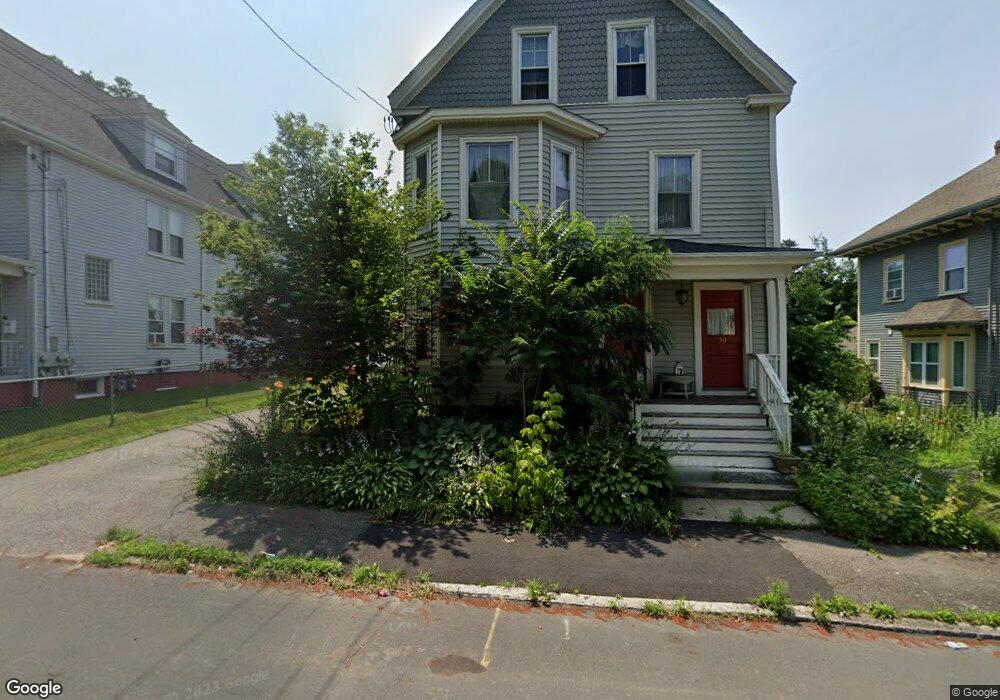
48 Bradford Ave Unit 50 Haverhill, MA 01835
Central Bradford NeighborhoodEstimated Value: $644,553 - $835,000
6
Beds
2
Baths
2,406
Sq Ft
$304/Sq Ft
Est. Value
About This Home
This home is located at 48 Bradford Ave Unit 50, Haverhill, MA 01835 and is currently estimated at $732,388, approximately $304 per square foot. 48 Bradford Ave Unit 50 is a home located in Essex County with nearby schools including Greenleaf Academy, Bradford Elementary School, and Haverhill High School.
Ownership History
Date
Name
Owned For
Owner Type
Purchase Details
Closed on
Jun 26, 1989
Sold by
Noone Wm L
Bought by
Donnelly James
Current Estimated Value
Home Financials for this Owner
Home Financials are based on the most recent Mortgage that was taken out on this home.
Original Mortgage
$138,800
Interest Rate
10.84%
Mortgage Type
Purchase Money Mortgage
Create a Home Valuation Report for This Property
The Home Valuation Report is an in-depth analysis detailing your home's value as well as a comparison with similar homes in the area
Home Values in the Area
Average Home Value in this Area
Purchase History
| Date | Buyer | Sale Price | Title Company |
|---|---|---|---|
| Donnelly James | $173,500 | -- |
Source: Public Records
Mortgage History
| Date | Status | Borrower | Loan Amount |
|---|---|---|---|
| Open | Donnelly James | $185,000 | |
| Closed | Donnelly James | $133,000 | |
| Closed | Donnelly James | $138,800 | |
| Previous Owner | Donnelly James | $91,500 |
Source: Public Records
Tax History Compared to Growth
Tax History
| Year | Tax Paid | Tax Assessment Tax Assessment Total Assessment is a certain percentage of the fair market value that is determined by local assessors to be the total taxable value of land and additions on the property. | Land | Improvement |
|---|---|---|---|---|
| 2025 | $5,994 | $559,700 | $164,800 | $394,900 |
| 2024 | $5,576 | $524,100 | $164,800 | $359,300 |
| 2023 | $5,441 | $488,000 | $164,800 | $323,200 |
| 2022 | $5,256 | $413,200 | $149,700 | $263,500 |
| 2021 | $4,803 | $357,400 | $136,100 | $221,300 |
| 2020 | $4,638 | $341,000 | $131,500 | $209,500 |
| 2019 | $4,375 | $313,600 | $121,000 | $192,600 |
| 2018 | $4,194 | $294,100 | $114,900 | $179,200 |
| 2017 | $3,632 | $242,300 | $96,800 | $145,500 |
| 2016 | $3,722 | $242,300 | $96,800 | $145,500 |
| 2015 | $3,464 | $225,700 | $93,700 | $132,000 |
Source: Public Records
Map
Nearby Homes
- 15 Blossom St
- 1 New Hampshire Ave
- 40 Haseltine St
- 41 S Lincoln St
- 72 River St Unit 6
- 72 River St Unit 4
- 72 River St Unit 1
- 72 River St Unit 7
- 72 River St Unit 3
- 72 River St Unit 2
- 72 River St Unit 5
- 72 River St Unit 8
- 496 S Main St
- 81 Middlesex St
- 78 Lamoille Ave
- 27 Byron St
- 52-58 Washington St Unit BC
- 2 Washington St Unit 201
- 80 Wingate St Unit 2F
- 80 Wingate St Unit 4C
- 44-46 Bradford Ave
- 52 Bradford Ave
- 44 Bradford Ave Unit 46
- 42 Bradford Ave
- 43 Bradford Ave
- 37 Lovejoy St
- 31 Lovejoy St
- 41 Lovejoy St
- 49 Bradford Ave Unit 51
- 38 Bradford Ave
- 58 Bradford Ave
- 25 Lovejoy St
- 37 Bradford Ave
- 53 Bradford Ave Unit 55
- 47 Lovejoy St
- 36 Bradford Ave
- 36 Bradford Ave Unit 1
- 33 Bradford Ave
- 33 Bradford Ave Unit 2
- 33 Bradford Ave Unit 1