48 Briarwood Dr Lagrange, GA 30241
Estimated Value: $245,000 - $293,000
3
Beds
2
Baths
1,772
Sq Ft
$151/Sq Ft
Est. Value
About This Home
This home is located at 48 Briarwood Dr, Lagrange, GA 30241 and is currently estimated at $268,316, approximately $151 per square foot. 48 Briarwood Dr is a home located in Troup County with nearby schools including Callaway Elementary School, Hogansville Elementary School, and Callaway Middle School.
Ownership History
Date
Name
Owned For
Owner Type
Purchase Details
Closed on
Jul 14, 1998
Sold by
Kitty Stribling
Bought by
Knight Barbara R
Current Estimated Value
Purchase Details
Closed on
Jan 1, 1996
Sold by
Lavaughn Thompson E
Bought by
Kitty Stribling
Purchase Details
Closed on
Oct 29, 1990
Sold by
Louise Drake Thompson
Bought by
Lavaughn Thompson E
Purchase Details
Closed on
May 26, 1983
Sold by
Lagrange Banking Co
Bought by
Louise Drake Thompson
Purchase Details
Closed on
Nov 15, 1975
Bought by
Lagrange Banking Co
Create a Home Valuation Report for This Property
The Home Valuation Report is an in-depth analysis detailing your home's value as well as a comparison with similar homes in the area
Home Values in the Area
Average Home Value in this Area
Purchase History
| Date | Buyer | Sale Price | Title Company |
|---|---|---|---|
| Knight Barbara R | $2,000 | -- | |
| Kitty Stribling | $75,000 | -- | |
| Lavaughn Thompson E | -- | -- | |
| Louise Drake Thompson | -- | -- | |
| Lagrange Banking Co | -- | -- |
Source: Public Records
Tax History Compared to Growth
Tax History
| Year | Tax Paid | Tax Assessment Tax Assessment Total Assessment is a certain percentage of the fair market value that is determined by local assessors to be the total taxable value of land and additions on the property. | Land | Improvement |
|---|---|---|---|---|
| 2024 | $1,758 | $66,440 | $10,000 | $56,440 |
| 2023 | $1,776 | $67,120 | $10,000 | $57,120 |
| 2022 | $1,691 | $62,560 | $8,000 | $54,560 |
| 2021 | $1,502 | $51,800 | $8,000 | $43,800 |
| 2020 | $1,502 | $51,800 | $8,000 | $43,800 |
| 2019 | $1,248 | $43,360 | $6,000 | $37,360 |
| 2018 | $1,241 | $43,140 | $5,780 | $37,360 |
| 2017 | $1,241 | $43,140 | $5,780 | $37,360 |
| 2016 | $1,244 | $43,242 | $5,780 | $37,462 |
| 2015 | $1,247 | $43,242 | $5,780 | $37,462 |
| 2014 | $1,189 | $41,270 | $5,780 | $35,490 |
| 2013 | -- | $43,091 | $5,780 | $37,311 |
Source: Public Records
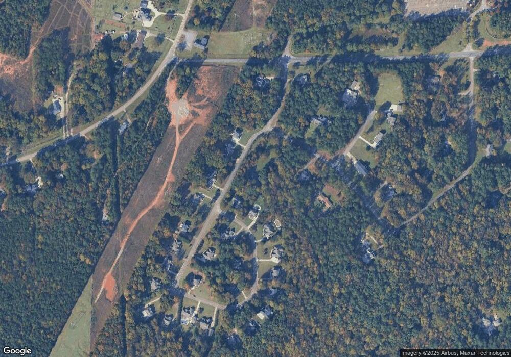
Map
Nearby Homes
- 1142 Hammett Rd
- 789 Hammett Rd
- 106 Hazel Way
- 10 Whitfield Rd
- 250 Old Pond Rd
- 244 Old Pond Rd
- 228 Sivell Rd
- 300 Old Pond Rd
- 224 Old Pond Rd
- 89 Clearwater Dr
- 210 Sivell Rd
- 456 Brookstone Dr
- 125 Ridgefield Cir
- 121 Woodridge Cir
- 113 Woodridge Cir
- 2995 Hogansville Rd
- 105 Ridgefield Dr
- 114 Crestwood Dr
- 207 Baileys Way
- 200 Crestwood Dr
- 140 Smokemont Dr
- 138 Smokemont Dr
- 102 Smokemont Dr
- 104 Smokemont Dr
- 136 Smokemont Dr
- 107 Smokemont Dr
- 106 Smokemont Dr
- 96 Briarwood Dr
- 134 Smokemont Dr
- 65 Briarwood Dr
- 133 Smokemont Dr
- 108 Smokemont Dr
- 109 Smokemont Dr
- 0 Smokemont Dr Unit 8207036
- 0 Smokemont Dr Unit 8993589
- 0 Smokemont Dr Unit 7111283
- 0 Smokemont Dr Unit 7466147
- 0 Smokemont Dr Unit 7471567
- 0 Smokemont Dr Unit 7578270
- 0 Smokemont Dr Unit 8170621