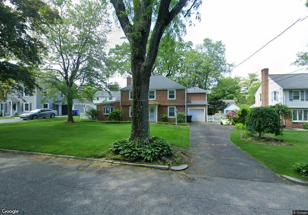
48 Bridle Path Rd Springfield, MA 01118
Sixteen Acres NeighborhoodEstimated Value: $344,723 - $373,000
3
Beds
1
Bath
1,670
Sq Ft
$213/Sq Ft
Est. Value
About This Home
This home is located at 48 Bridle Path Rd, Springfield, MA 01118 and is currently estimated at $356,431, approximately $213 per square foot. 48 Bridle Path Rd is a home located in Hampden County with nearby schools including Arthur T Talmadge Elementary School, M Marcus Kiley Middle, and Springfield High School of Science and Technology.
Ownership History
Date
Name
Owned For
Owner Type
Purchase Details
Closed on
Jul 16, 1993
Sold by
Haggerty Joseph J and Haggerty Cozette H
Bought by
Goraj Mark T and Surniak Judy A
Current Estimated Value
Home Financials for this Owner
Home Financials are based on the most recent Mortgage that was taken out on this home.
Original Mortgage
$97,200
Interest Rate
7.4%
Mortgage Type
Purchase Money Mortgage
Create a Home Valuation Report for This Property
The Home Valuation Report is an in-depth analysis detailing your home's value as well as a comparison with similar homes in the area
Home Values in the Area
Average Home Value in this Area
Purchase History
| Date | Buyer | Sale Price | Title Company |
|---|---|---|---|
| Goraj Mark T | $108,000 | -- |
Source: Public Records
Mortgage History
| Date | Status | Borrower | Loan Amount |
|---|---|---|---|
| Closed | Goraj Mark T | $97,200 |
Source: Public Records
Tax History Compared to Growth
Tax History
| Year | Tax Paid | Tax Assessment Tax Assessment Total Assessment is a certain percentage of the fair market value that is determined by local assessors to be the total taxable value of land and additions on the property. | Land | Improvement |
|---|---|---|---|---|
| 2025 | $4,660 | $297,200 | $59,700 | $237,500 |
| 2024 | $4,266 | $265,600 | $59,700 | $205,900 |
| 2023 | $4,573 | $268,200 | $56,800 | $211,400 |
| 2022 | $4,236 | $225,100 | $60,000 | $165,100 |
| 2021 | $4,394 | $232,500 | $54,600 | $177,900 |
| 2020 | $4,220 | $216,100 | $54,600 | $161,500 |
| 2019 | $3,901 | $198,200 | $54,600 | $143,600 |
| 2018 | $3,971 | $201,800 | $54,600 | $147,200 |
| 2017 | $3,826 | $194,600 | $54,600 | $140,000 |
| 2016 | $3,637 | $185,000 | $54,600 | $130,400 |
| 2015 | $3,466 | $176,200 | $54,600 | $121,600 |
Source: Public Records
Map
Nearby Homes
- 290 Newton Rd
- 42 Talmadge Dr
- 865 S Branch Pkwy
- 101 Regal St
- 27 Regal St
- 86 Talmadge Dr
- 85 Talmadge Dr
- 55 Allen St
- 17 Pebble Mill Rd
- 82 Louis Rd
- 5 Manor Ct Unit 5
- 19 Manor Ct Unit 19
- 41 Hillside Dr
- 56 Pennsylvania Ave
- 89 Cherokee Dr
- 125 Manor Ct Unit 125
- 138 Abbott St
- 11 Cheyenne Rd
- 100 Abbott St
- 206 Treetop Ave
- 40 Bridle Path Rd
- 56 Bridle Path Rd
- 35 Pine Hill Rd
- 43 Pine Hill Rd
- 29 Pine Hill Rd
- 32 Bridle Path Rd
- 64 Bridle Path Rd
- 47 Bridle Path Rd
- 51 Pine Hill Rd
- 39 Bridle Path Rd
- 55 Bridle Path Rd
- 21 Pine Hill Rd
- 0 Pine Hill Rd Unit 71514408
- 0 Pine Hill Rd Unit 21303562
- 31 Bridle Path Rd
- 72 Bridle Path Rd
- 11 Pine Hill Rd
- 42 Pine Hill Rd
- 56 Winding Ln
- 66 Winding Ln