48 Buckhill Rd Albrightsville, PA 18210
Estimated Value: $232,000 - $276,552
3
Beds
2
Baths
1,800
Sq Ft
$141/Sq Ft
Est. Value
About This Home
This home is located at 48 Buckhill Rd, Albrightsville, PA 18210 and is currently estimated at $253,888, approximately $141 per square foot. 48 Buckhill Rd is a home located in Carbon County with nearby schools including Jim Thorpe Area High School.
Ownership History
Date
Name
Owned For
Owner Type
Purchase Details
Closed on
Feb 3, 2021
Sold by
Cekic Saban
Bought by
Wilson Raymond J and Iwinski Dominika A
Current Estimated Value
Purchase Details
Closed on
May 16, 2018
Sold by
Sharon Mutual Llc
Bought by
Cekic Saban
Purchase Details
Closed on
Apr 12, 2018
Sold by
Bank Of America Na
Bought by
Sharon Mutual Llc
Purchase Details
Closed on
Jun 17, 2016
Sold by
Hufnagle Mark and Hufnagle Sharla
Bought by
Bank Of Ameklca Na
Purchase Details
Closed on
Dec 10, 2003
Bought by
Hufnagle Mark and Hufnagle Sharla
Create a Home Valuation Report for This Property
The Home Valuation Report is an in-depth analysis detailing your home's value as well as a comparison with similar homes in the area
Home Values in the Area
Average Home Value in this Area
Purchase History
| Date | Buyer | Sale Price | Title Company |
|---|---|---|---|
| Wilson Raymond J | $155,000 | Keystone Premier Stlmt Svcs | |
| Cekic Saban | $45,000 | None Available | |
| Sharon Mutual Llc | $12,500 | None Available | |
| Bank Of Ameklca Na | $1,833 | None Available | |
| Hufnagle Mark | -- | -- |
Source: Public Records
Tax History Compared to Growth
Tax History
| Year | Tax Paid | Tax Assessment Tax Assessment Total Assessment is a certain percentage of the fair market value that is determined by local assessors to be the total taxable value of land and additions on the property. | Land | Improvement |
|---|---|---|---|---|
| 2025 | $2,233 | $36,300 | $4,000 | $32,300 |
| 2024 | $2,124 | $36,300 | $4,000 | $32,300 |
| 2023 | $2,097 | $36,300 | $4,000 | $32,300 |
| 2022 | $2,097 | $36,300 | $4,000 | $32,300 |
| 2021 | $2,097 | $36,300 | $4,000 | $32,300 |
| 2020 | $2,097 | $36,300 | $4,000 | $32,300 |
| 2019 | $2,024 | $36,300 | $4,000 | $32,300 |
| 2018 | $2,024 | $36,300 | $4,000 | $32,300 |
| 2017 | $2,024 | $36,300 | $4,000 | $32,300 |
| 2016 | -- | $36,300 | $4,000 | $32,300 |
| 2015 | -- | $36,300 | $4,000 | $32,300 |
| 2014 | -- | $36,300 | $4,000 | $32,300 |
Source: Public Records
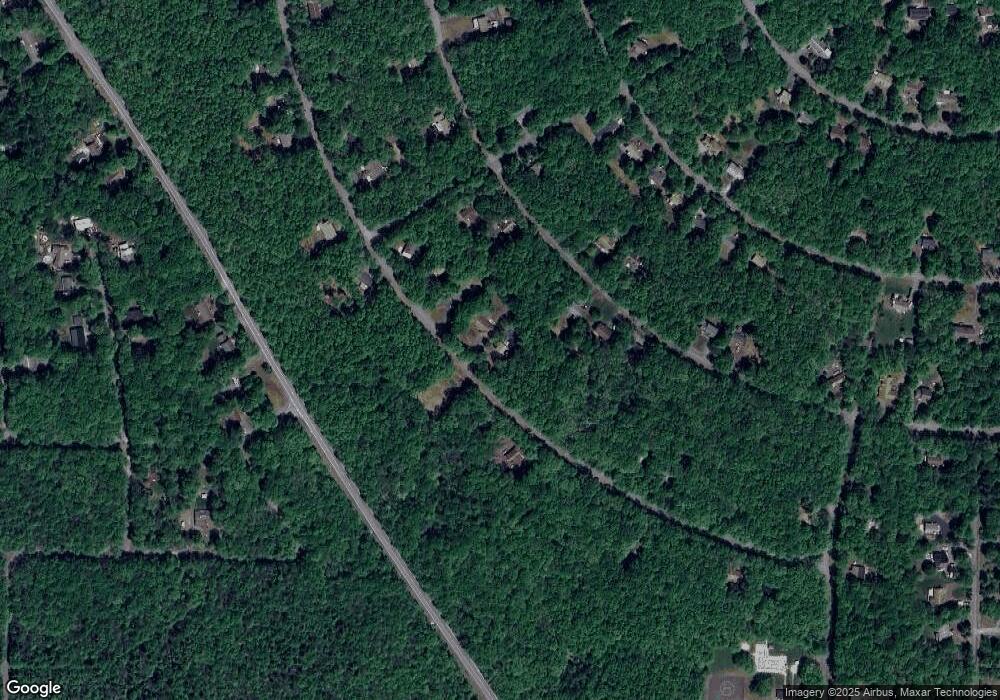
Map
Nearby Homes
- 48 Buckhill Rd
- 0 Buck Hill Rd Unit 752356
- 57 Mohawk Trail
- 922 Mohawk Trail
- 0 Mohawk Trail Unit PM-121856
- 30 Lenape Trail
- NII1717 Seneca Trail
- NII1718 Seneca Trail
- 0 Seneca Trail
- 0 Katu Trail and Penn Forest
- 0 Buckhill Rd Unit PM-121990
- 313 & 315 Tapuco Dr
- 113 Lenape Trail
- A806 Buckhill Rd
- NII1217 Buckhill Rd
- NII1214 Buckhill Rd
- 0 Tapuco Dr
- 12 Seneca Trail
- 0 Katu & Penn Forest Trail Unit 752369
- 0 Penn Forest Dr Unit 752345
- 50 Buckhill Rd
- 54 Buckhill Rd
- 63 Lenape Trail
- 1303 N-II Lenape Trail
- 49 Buckhill Rd
- 60 Buckhill Rd
- 39 Buckhill Rd
- 75 Lenape Trail
- 57 Lenape Trail
- 1307 Lenape Trail
- 57 Lenape Trail
- 1328 Buckhill # N-2 Rd
- 66 Buckhill Rd
- 68 Lenape Trail
- 12 Highpoint Dr
- 64 Lenape Trail
- 26 Buckhill Rd
- 63 Buckhill Rd
- 616 Lenape Trail
- 736 Lenape Trail