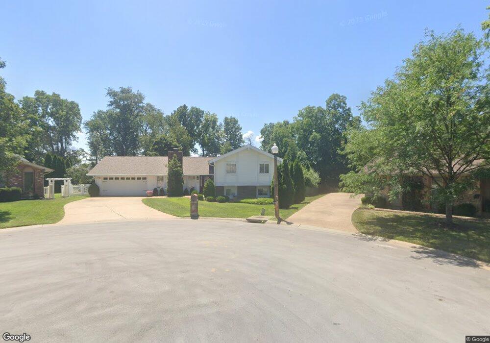
48 Bunker Hill Saint Charles, MO 63303
Heritage NeighborhoodEstimated Value: $355,075 - $411,000
3
Beds
2
Baths
1,318
Sq Ft
$284/Sq Ft
Est. Value
About This Home
This home is located at 48 Bunker Hill, Saint Charles, MO 63303 and is currently estimated at $374,519, approximately $284 per square foot. 48 Bunker Hill is a home located in St. Charles County with nearby schools including Becky-David Elementary School, Barnwell Middle School, and Francis Howell North High School.
Ownership History
Date
Name
Owned For
Owner Type
Purchase Details
Closed on
Dec 15, 2003
Sold by
Harman Christopher L and Harman Marsha A
Bought by
Treacy Michael T
Current Estimated Value
Home Financials for this Owner
Home Financials are based on the most recent Mortgage that was taken out on this home.
Original Mortgage
$183,920
Outstanding Balance
$85,384
Interest Rate
6.02%
Mortgage Type
Purchase Money Mortgage
Estimated Equity
$289,135
Purchase Details
Closed on
Nov 17, 1998
Sold by
Harman Christopher L Marsha A
Bought by
Harman Christopher L and Harman Marsha A
Create a Home Valuation Report for This Property
The Home Valuation Report is an in-depth analysis detailing your home's value as well as a comparison with similar homes in the area
Home Values in the Area
Average Home Value in this Area
Purchase History
| Date | Buyer | Sale Price | Title Company |
|---|---|---|---|
| Treacy Michael T | $229,900 | Ust | |
| Harman Christopher L | -- | -- |
Source: Public Records
Mortgage History
| Date | Status | Borrower | Loan Amount |
|---|---|---|---|
| Open | Treacy Michael T | $183,920 | |
| Closed | Treacy Michael T | $22,900 |
Source: Public Records
Tax History Compared to Growth
Tax History
| Year | Tax Paid | Tax Assessment Tax Assessment Total Assessment is a certain percentage of the fair market value that is determined by local assessors to be the total taxable value of land and additions on the property. | Land | Improvement |
|---|---|---|---|---|
| 2025 | $3,625 | $65,681 | -- | -- |
| 2024 | $3,625 | $58,568 | -- | -- |
| 2023 | $3,620 | $58,568 | $0 | $0 |
| 2022 | $3,147 | $47,116 | $0 | $0 |
| 2021 | $3,140 | $47,116 | $0 | $0 |
| 2020 | $3,080 | $45,040 | $0 | $0 |
| 2019 | $3,069 | $45,040 | $0 | $0 |
| 2018 | $3,033 | $42,498 | $0 | $0 |
| 2017 | $3,017 | $42,498 | $0 | $0 |
| 2016 | $2,797 | $39,498 | $0 | $0 |
| 2015 | $2,763 | $39,498 | $0 | $0 |
| 2014 | $2,842 | $39,377 | $0 | $0 |
Source: Public Records
Map
Nearby Homes
- 1510 Hudson Landing
- 1633 Mount Vernon Dr Unit 2
- 1611 Burnside Ln
- 1355 Hampton Rd Unit B
- 2605 Plantation Point Unit B
- 2609 Plantation Point Unit D
- 2617 Hampton Rd Unit C
- 2623 Hampton Rd Unit A
- 1380 Heritage Landing Unit 307
- 1380 Heritage Landing Unit 206
- 1465 Heritage Landing Unit 35
- 1465 Heritage Landing Unit 306
- 1465 Heritage Landing Unit 46 (410)
- 1400 Heritage Landing #106 Landing Unit 106
- 1430 Heritage Landing Unit 201
- 1488 Gettysburg Landing
- 1440 Heritage Landing Unit 309
- 1440 Heritage Landing Unit 112
- 726 Gran Lin Dr
- 1436 Heritage Landing Unit 203
- 47 Bunker Hill
- 407 Savannah Ridge Dr
- 409 Savannah Ridge Dr
- 49 Bunker Hill
- 405 Savannah Ridge Dr
- 46 Bunker Hill
- 50 Bunker Hill
- 411 Savannah Ridge Dr
- 24 Confederate Way
- 51 Bunker Hill
- 403 Savannah Ridge Dr
- 408 Savannah Ridge Dr
- 2541 Trenton Station
- 45 Bunker Hill
- 23 Confederate Way
- 2545 Trenton Station
- 2535 Trenton Station
- 52 Bunker Hill
- 2549 Trenton Station
- 413 Savannah Ridge Dr