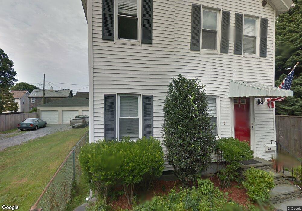
48 Burnside Ave Newport, RI 02840
Estimated Value: $719,680 - $965,000
3
Beds
2
Baths
1,812
Sq Ft
$480/Sq Ft
Est. Value
About This Home
This home is located at 48 Burnside Ave, Newport, RI 02840 and is currently estimated at $869,170, approximately $479 per square foot. 48 Burnside Ave is a home located in Newport County with nearby schools including Rogers High School, St Michael's Country Day School, and St George's School.
Ownership History
Date
Name
Owned For
Owner Type
Purchase Details
Closed on
Oct 7, 2016
Sold by
Wilcox Nancy L
Bought by
Wilcox Stephen A and Wilcox Nancy L
Current Estimated Value
Create a Home Valuation Report for This Property
The Home Valuation Report is an in-depth analysis detailing your home's value as well as a comparison with similar homes in the area
Home Values in the Area
Average Home Value in this Area
Purchase History
| Date | Buyer | Sale Price | Title Company |
|---|---|---|---|
| Wilcox Stephen A | -- | -- |
Source: Public Records
Tax History
| Year | Tax Paid | Tax Assessment Tax Assessment Total Assessment is a certain percentage of the fair market value that is determined by local assessors to be the total taxable value of land and additions on the property. | Land | Improvement |
|---|---|---|---|---|
| 2025 | $3,868 | $538,700 | $178,000 | $360,700 |
| 2024 | $3,755 | $538,700 | $178,000 | $360,700 |
| 2023 | $3,529 | $355,700 | $115,400 | $240,300 |
| 2022 | $3,418 | $355,700 | $115,400 | $240,300 |
| 2021 | $3,319 | $355,700 | $115,400 | $240,300 |
| 2020 | $3,216 | $312,800 | $97,300 | $215,500 |
| 2019 | $3,216 | $312,800 | $97,300 | $215,500 |
| 2018 | $3,125 | $312,800 | $97,300 | $215,500 |
| 2017 | $3,143 | $280,400 | $74,800 | $205,600 |
| 2016 | $3,065 | $280,400 | $74,800 | $205,600 |
| 2015 | $2,992 | $280,400 | $74,800 | $205,600 |
| 2014 | $3,187 | $264,300 | $66,900 | $197,400 |
Source: Public Records
Map
Nearby Homes
- 17 Warner St
- 31 Edward St
- 5 Bowser Ct
- 51 Warner St
- 28 Pond Ave
- 102 Broadway Unit 2B
- 31 Coddington St Unit 24
- 12 Poplar St
- 105 Broadway
- 21 Spring St Unit 2
- 21 Spring St Unit 3
- 57 Gould St
- 3 Vicksburg Place
- 23 Mann Ave Unit 4
- 13 Sherman St
- 19 Third St
- 10 Barney St Unit 107
- 10 Barney St Unit 101
- 10 Barney St Unit 102
- 10 Barney St Unit U106
- 44 Burnside Ave
- 53 Tilden Ave
- 45 Tilden Ave
- 42 Burnside Ave
- 37 Tilden Ave
- 0 Burnside Ave
- 41 Tilden Ave
- 41 Burnside Ave
- 59 Tilden Ave
- 56 Burnside Ave
- 43 Burnside Ave
- 49 Burnside Ave
- 27 Burnside Ave
- 65 Tilden Ave
- 60 Burnside Ave
- 36 Callender Ave Unit 38
- 59 Burnside Ave
- 33 Tilden Ave
- 40 Callender Ave
- 25 Burnside Ave
Your Personal Tour Guide
Ask me questions while you tour the home.