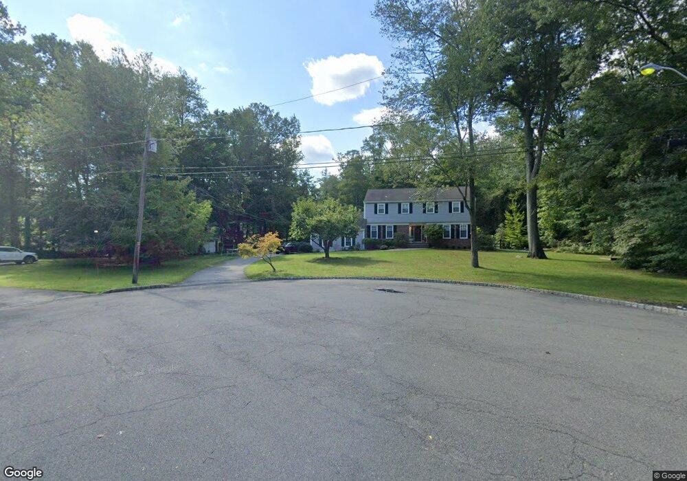
48 Cambridge Dr Allendale, NJ 07401
Estimated Value: $1,207,000 - $1,359,000
Studio
--
Bath
2,465
Sq Ft
$521/Sq Ft
Est. Value
About This Home
This home is located at 48 Cambridge Dr, Allendale, NJ 07401 and is currently estimated at $1,283,593, approximately $520 per square foot. 48 Cambridge Dr is a home located in Bergen County with nearby schools including Hillside Elementary School, Brookside Elementary School, and Northern Highlands Reg High School.
Ownership History
Date
Name
Owned For
Owner Type
Purchase Details
Closed on
Jun 24, 2005
Sold by
Rada William
Bought by
Hascup Brian and Hascup Lisa
Current Estimated Value
Home Financials for this Owner
Home Financials are based on the most recent Mortgage that was taken out on this home.
Original Mortgage
$540,000
Outstanding Balance
$281,368
Interest Rate
5.73%
Estimated Equity
$1,002,225
Create a Home Valuation Report for This Property
The Home Valuation Report is an in-depth analysis detailing your home's value as well as a comparison with similar homes in the area
Home Values in the Area
Average Home Value in this Area
Purchase History
| Date | Buyer | Sale Price | Title Company |
|---|---|---|---|
| Hascup Brian | $870,000 | -- |
Source: Public Records
Mortgage History
| Date | Status | Borrower | Loan Amount |
|---|---|---|---|
| Open | Hascup Brian | $540,000 |
Source: Public Records
Tax History
| Year | Tax Paid | Tax Assessment Tax Assessment Total Assessment is a certain percentage of the fair market value that is determined by local assessors to be the total taxable value of land and additions on the property. | Land | Improvement |
|---|---|---|---|---|
| 2025 | $18,677 | $975,400 | $519,900 | $455,500 |
| 2024 | $18,677 | $885,600 | $450,500 | $435,100 |
| 2023 | $18,489 | $867,900 | $443,000 | $424,900 |
| 2022 | $18,489 | $812,000 | $403,100 | $408,900 |
| 2021 | $18,538 | $789,200 | $390,600 | $398,600 |
| 2020 | $19,077 | $790,600 | $398,100 | $392,500 |
| 2019 | $18,144 | $772,400 | $398,100 | $374,300 |
| 2018 | $17,742 | $772,400 | $398,100 | $374,300 |
| 2017 | $17,673 | $772,400 | $398,100 | $374,300 |
| 2016 | $17,696 | $772,400 | $398,100 | $374,300 |
| 2015 | $17,340 | $772,400 | $398,100 | $374,300 |
| 2014 | $17,336 | $727,500 | $423,100 | $304,400 |
Source: Public Records
Map
Nearby Homes
- 53 Lockwood Dr
- 8 Masterson Ct
- 1002 Whitney Ln
- 103 Crescent Ave
- 37-1 Tamaron Dr
- 260 W Allendale Ave
- 33 Homewood Ave
- 373 W Crescent Ave
- 77 Myrtle Ave
- 31 Smith St
- 8 Crestwood Mews
- 4 Lee Ct
- 16-3 Tamaron Dr
- 290 Wyckoff Ave
- 6 Cottage Place
- 314 Meadowbrook Rd
- 39 1 & 2 Smith
- 5 Everson Dr
- 4 Everson Dr
- 3 Everson Dr
- 45 Cambridge Dr
- 44 Cambridge Dr
- 42 Oakwood Rd
- 38 Oakwood Rd
- 46 Oakwood Rd
- 755 W Crescent Ave
- 12 Princeton Rd
- 34 Oakwood Rd
- 8 Princeton Rd
- 756 W Crescent Ave
- 735 W Crescent Ave
- 30 Oakwood Rd
- 794 W Crescent Ave
- 35 Oakwood Rd
- 41 Oakwood Rd
- 7 Beresford Rd
- 36 Cambridge Dr
- 15 Princeton Rd
- 33 Oakwood Rd
- 816 W Crescent Ave
Your Personal Tour Guide
Ask me questions while you tour the home.