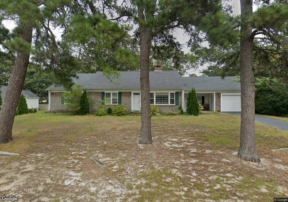
48 Captain Percival Rd South Yarmouth, MA 02664
South Yarmouth NeighborhoodEstimated Value: $634,000 - $701,000
3
Beds
2
Baths
1,501
Sq Ft
$437/Sq Ft
Est. Value
About This Home
This home is located at 48 Captain Percival Rd, South Yarmouth, MA 02664 and is currently estimated at $656,499, approximately $437 per square foot. 48 Captain Percival Rd is a home located in Barnstable County with nearby schools including Dennis-Yarmouth Regional High School and St. Pius X. School.
Ownership History
Date
Name
Owned For
Owner Type
Purchase Details
Closed on
Feb 18, 2020
Sold by
Gorman Philip J
Bought by
Hlg Rt
Current Estimated Value
Purchase Details
Closed on
Feb 26, 1999
Sold by
Sova Nt and Sova Edith K
Bought by
Gorman Philip J and Gorman Jane E
Home Financials for this Owner
Home Financials are based on the most recent Mortgage that was taken out on this home.
Original Mortgage
$100,000
Interest Rate
6.78%
Mortgage Type
Purchase Money Mortgage
Create a Home Valuation Report for This Property
The Home Valuation Report is an in-depth analysis detailing your home's value as well as a comparison with similar homes in the area
Home Values in the Area
Average Home Value in this Area
Purchase History
| Date | Buyer | Sale Price | Title Company |
|---|---|---|---|
| Hlg Rt | -- | None Available | |
| Gorman Philip J | $142,000 | -- |
Source: Public Records
Mortgage History
| Date | Status | Borrower | Loan Amount |
|---|---|---|---|
| Previous Owner | Gorman Philip J | $55,000 | |
| Previous Owner | Gorman Philip J | $100,000 |
Source: Public Records
Tax History Compared to Growth
Tax History
| Year | Tax Paid | Tax Assessment Tax Assessment Total Assessment is a certain percentage of the fair market value that is determined by local assessors to be the total taxable value of land and additions on the property. | Land | Improvement |
|---|---|---|---|---|
| 2025 | $4,056 | $572,900 | $179,300 | $393,600 |
| 2024 | $3,787 | $513,100 | $151,600 | $361,500 |
| 2023 | $3,661 | $451,400 | $131,200 | $320,200 |
| 2022 | $3,767 | $410,400 | $119,300 | $291,100 |
| 2021 | $3,497 | $365,800 | $119,300 | $246,500 |
| 2020 | $3,391 | $339,100 | $119,300 | $219,800 |
| 2019 | $6,740 | $307,000 | $119,300 | $187,700 |
| 2018 | $2,977 | $289,300 | $101,600 | $187,700 |
| 2017 | $2,190 | $284,900 | $97,200 | $187,700 |
| 2016 | $2,754 | $276,000 | $88,300 | $187,700 |
| 2015 | $2,628 | $261,800 | $88,300 | $173,500 |
Source: Public Records
Map
Nearby Homes
- 35 Captain Percival Rd
- 48 Captain Dore Rd
- 18 Captain Stanley Rd
- 49 Captain Besse Rd
- 147 Captain Bacon Rd
- 72 Quartermaster Row
- 21 Hazelmoor Rd
- 24 Fast Brook Rd
- 33 Sparrow Way
- 3 Saturn Ln
- 11 Bob-O-link Ln
- 0 Forsyth Ave
- 68 Bob-O-link Ln
- 22 Powhatan Rd
- 299 Winslow Gray Rd
- 299-301 Winslow Gray Rd
- 33 Lake Rd
- 15 Sharon Rd
- 7 Sunset Pines Rd
- 4 Raymond Ave
- 44 Captain Percival Rd
- 89 Captain Noyes Rd
- 47 Captain Daniel Rd
- 43 Captain Daniel Rd
- 45 Captain Percival Rd
- 51 Captain Percival Rd
- 38 Capt Percival Rd
- 41 Captain Percival Rd
- 38 Captain Percival Rd
- 37 Captain Daniel Rd
- 84 Captain Noyes Rd
- 101 Captain Noyes Rd
- 129 Winding Brook Rd
- 46 Captain Blount Rd
- 48 Captain Daniel Rd
- 52 Capt Blount Rd
- 52 Captain Blount Rd
- 34 Captain Percival Rd
- 44 Captain Daniel Rd
- 42 Capt Blount Rd