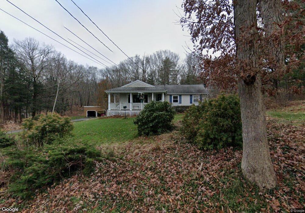
48 Case Rd Coventry, CT 06238
Coventry AreaEstimated Value: $376,892 - $438,000
About This Home
This home is located at 48 Case Rd, Coventry, CT 06238 and is currently estimated at $407,723, approximately $287 per square foot. 48 Case Rd is a home located in Tolland County with nearby schools including Coventry Grammar School, George Hersey Robertson School, and Capt. Nathan Hale School.
Ownership History
We collect this data history from publicly available records. To have your information removed, we recommend requesting removal directly through your county’s website.
Purchase Details
Home Values in the Area
Average Home Value in this Area
Purchase History
We collect this data history from publicly available records. To have your information removed, we recommend requesting removal directly through your county’s website.
| Date | Buyer | Sale Price | Title Company |
|---|---|---|---|
| -- | -- |
Mortgage History
We collect this data history from publicly available records. To have your information removed, we recommend requesting removal directly through your county’s website.
| Date | Status | Borrower | Loan Amount |
|---|---|---|---|
| Closed | $60,000 |
Tax History
We collect this data history from publicly available records. To have your information removed, we recommend requesting removal directly through your county’s website.
| Year | Tax Paid | Tax Assessment Tax Assessment Total Assessment is a certain percentage of the fair market value that is determined by local assessors to be the total taxable value of land and additions on the property. | Land | Improvement |
|---|---|---|---|---|
| 2025 | $5,871 | $247,100 | $65,500 | $181,600 |
| 2024 | $5,370 | $161,200 | $54,100 | $107,100 |
| 2023 | $5,116 | $161,200 | $54,100 | $107,100 |
| 2022 | $5,021 | $161,200 | $54,100 | $107,100 |
| 2021 | $5,021 | $161,200 | $54,100 | $107,100 |
| 2020 | $5,025 | $161,200 | $54,100 | $107,100 |
| 2019 | $5,191 | $161,200 | $54,100 | $107,100 |
| 2018 | $4,756 | $147,700 | $54,100 | $93,600 |
| 2017 | $4,726 | $147,700 | $54,100 | $93,600 |
| 2016 | $4,608 | $147,700 | $54,100 | $93,600 |
| 2015 | $4,608 | $147,700 | $54,100 | $93,600 |
| 2014 | $4,772 | $167,600 | $65,900 | $101,700 |
Map
- 240 Wrights Mill Rd
- 2865 South St
- 39 Dexter Rd
- 2880 Main St
- 2880 & 2878 Main St
- 2671 Main St
- 0 Skinner Hill Rd Unit 24077239
- 87 Edgemere Rd
- 195 Daly Rd
- 165 Daly Rd
- 78 Bellevue Dr
- 21 Arlington Rd
- 243 Long Hill Rd
- 113 Ridgewood Trail
- 0 Englewood Trail Unit 24173868
- 0 Seneca Trail
- 30 Beaver Trail
- 41 Wolf Hill Rd Unit Lot 39
- 141 Forge Rd
- 0 Boston Turnpike Unit 24128587
- 41 Case Rd
- 55 Case Rd
- 449 Wrights Mill Rd
- 508 Wrights Mill Rd
- 460 Wrights Mill Rd
- 604 Wrights Mill Rd
- 500 Wrights Mill Rd
- 586 Wrights Mill Rd
- 620 Wrights Mill Rd
- 638 Wrights Mill Rd
- 638- Wigts Mill Rd
- 317 Wrights Mill Rd
- 408 Wrights Mill Rd
- 650 Wrights Mill Rd
- 418 Wrights Mill Rd
- 360 S River Rd
- 303 Wrights Mill Rd
- 307 Wrights Mill Rd
- 660 Wrights Mill Rd
- 390 S River Rd
Ask me questions while you tour the home.