48 Cedarwood Rd Boxborough, MA 01719
Estimated Value: $1,004,020 - $1,095,000
4
Beds
3
Baths
3,186
Sq Ft
$330/Sq Ft
Est. Value
About This Home
This home is located at 48 Cedarwood Rd, Boxborough, MA 01719 and is currently estimated at $1,050,505, approximately $329 per square foot. 48 Cedarwood Rd is a home located in Middlesex County with nearby schools including Acton-Boxborough Regional High School.
Ownership History
Date
Name
Owned For
Owner Type
Purchase Details
Closed on
Apr 19, 2007
Sold by
Delamata Carlo R and Delamata Lorraine G
Bought by
Shah Manish and Shah Minal
Current Estimated Value
Purchase Details
Closed on
Aug 25, 2006
Sold by
Chong Jennifer A
Bought by
Delamata Carlo R
Purchase Details
Closed on
Sep 14, 2001
Sold by
Shah Bhupendra and Shah Ramika
Bought by
Chong Jennifer A
Create a Home Valuation Report for This Property
The Home Valuation Report is an in-depth analysis detailing your home's value as well as a comparison with similar homes in the area
Home Values in the Area
Average Home Value in this Area
Purchase History
| Date | Buyer | Sale Price | Title Company |
|---|---|---|---|
| Shah Manish | $601,650 | -- | |
| Delamata Carlo R | $591,000 | -- | |
| Chong Jennifer A | $460,000 | -- | |
| Shah Manish | $601,650 | -- | |
| Delamata Carlo R | $591,000 | -- | |
| Chong Jennifer A | $460,000 | -- |
Source: Public Records
Mortgage History
| Date | Status | Borrower | Loan Amount |
|---|---|---|---|
| Open | Chong Jennifer A | $395,000 | |
| Closed | Chong Jennifer A | $401,500 |
Source: Public Records
Tax History Compared to Growth
Tax History
| Year | Tax Paid | Tax Assessment Tax Assessment Total Assessment is a certain percentage of the fair market value that is determined by local assessors to be the total taxable value of land and additions on the property. | Land | Improvement |
|---|---|---|---|---|
| 2025 | $13,677 | $903,400 | $302,400 | $601,000 |
| 2024 | $12,700 | $847,200 | $290,600 | $556,600 |
| 2023 | $11,974 | $771,500 | $250,700 | $520,800 |
| 2022 | $11,426 | $655,900 | $250,700 | $405,200 |
| 2020 | $10,323 | $617,400 | $250,700 | $366,700 |
| 2019 | $10,138 | $617,400 | $250,700 | $366,700 |
| 2018 | $8,977 | $584,100 | $239,000 | $345,100 |
| 2017 | $9,643 | $569,700 | $239,000 | $330,700 |
| 2016 | $9,286 | $567,600 | $249,500 | $318,100 |
| 2015 | $8,946 | $537,300 | $249,000 | $288,300 |
| 2014 | $9,036 | $510,800 | $246,600 | $264,200 |
Source: Public Records
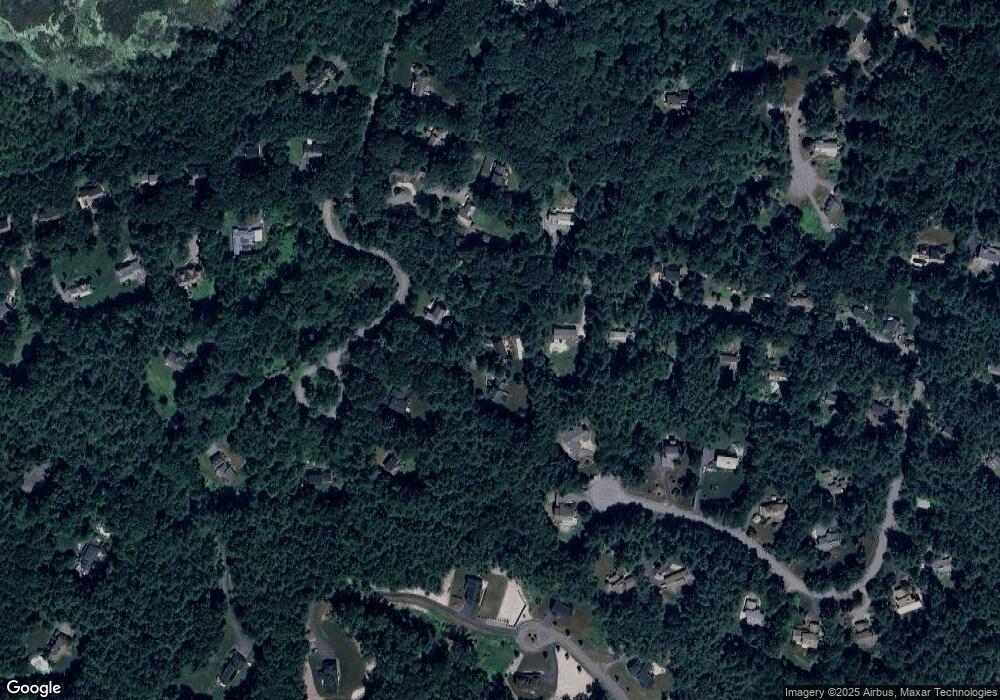
Map
Nearby Homes
- 96 Cedarwood Rd
- 134 Russet Ln
- 68 Macintosh Ln
- 30 Paul Revere Rd
- 12 Olde Lantern Rd
- 777 Depot Rd
- 92 Willow St Unit 3
- 92 Willow St Unit 2
- 90 Willow St Unit 1
- 5 Elm St Unit 1
- 285 Central St Unit 285
- 9 Elm St Unit 1
- 89 Windsor Ave
- 139 Picnic St
- 1155 Burroughs Rd
- 31 Mohawk Dr
- 207 Boxboro Rd
- 4,7,8 Crestwood Ln
- 62 Waite Rd
- 4 Huron Rd
- 182 Pine Hill Rd
- 64 Cedarwood Rd
- 40 Cedarwood Rd
- 166 Pine Hill Rd
- 166 Pine Hill Rd Unit 166
- 129 Stonehedge Place
- 166 Burroughs Rd
- 183 Pine Hill Rd
- 80 Cedarwood Rd
- 156 Burroughs Rd
- 148 Pine Hill Rd
- 157 Pine Hill Rd
- 157 Pine Hill Rd Unit 157
- 171 Pine Hill Rd
- 179 Burroughs Rd
- LOT 2 Sadler Farm Ln
- 111 Stonehedge Place
- 120 Stonehedge Place
- 149 Burroughs Rd
- 133 Pine Hill Rd