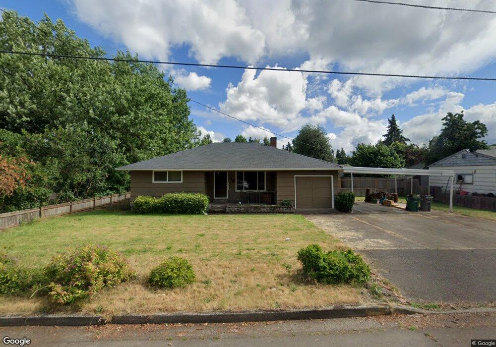
48 Corliss Ln Eugene, OR 97404
River Road NeighborhoodEstimated Value: $410,000 - $429,000
3
Beds
1
Bath
1,410
Sq Ft
$295/Sq Ft
Est. Value
About This Home
This home is located at 48 Corliss Ln, Eugene, OR 97404 and is currently estimated at $416,067, approximately $295 per square foot. 48 Corliss Ln is a home located in Lane County with nearby schools including Howard Elementary School, Kelly Middle School, and North Eugene High School.
Ownership History
Date
Name
Owned For
Owner Type
Purchase Details
Closed on
Feb 7, 2017
Sold by
Bottensek Matthew T
Bought by
Bottensek Matthew T and Bottensek Brittany
Current Estimated Value
Purchase Details
Closed on
Jan 25, 2017
Sold by
Walker David L and Walker Nora B
Bought by
Walker David L and Walker Nora B
Purchase Details
Closed on
Sep 14, 2012
Sold by
Walker David L
Bought by
Walker David L and Walker Nora B
Purchase Details
Closed on
Aug 13, 2012
Sold by
Walker David L and Stamsos Deanna J
Bought by
Walker David L and Stamsos Deanna J
Purchase Details
Closed on
May 27, 2005
Sold by
Walker Lloyd J and Walker Jean H
Bought by
Walker Lloyd J and Walker David L
Create a Home Valuation Report for This Property
The Home Valuation Report is an in-depth analysis detailing your home's value as well as a comparison with similar homes in the area
Home Values in the Area
Average Home Value in this Area
Purchase History
| Date | Buyer | Sale Price | Title Company |
|---|---|---|---|
| Bottensek Matthew T | -- | Cascade Title Co | |
| Walker David L | -- | None Available | |
| Walker David L | -- | None Available | |
| Walker David L | -- | None Available | |
| Walker Lloyd J | -- | -- |
Source: Public Records
Tax History
| Year | Tax Paid | Tax Assessment Tax Assessment Total Assessment is a certain percentage of the fair market value that is determined by local assessors to be the total taxable value of land and additions on the property. | Land | Improvement |
|---|---|---|---|---|
| 2025 | $3,561 | $182,764 | -- | -- |
| 2024 | $3,517 | $177,441 | -- | -- |
| 2023 | $3,517 | $172,273 | $0 | $0 |
| 2022 | $3,294 | $167,256 | $0 | $0 |
| 2021 | $3,094 | $162,385 | $0 | $0 |
| 2020 | $3,105 | $157,656 | $0 | $0 |
| 2019 | $2,999 | $153,065 | $0 | $0 |
| 2018 | $2,823 | $144,279 | $0 | $0 |
| 2017 | $2,697 | $144,279 | $0 | $0 |
| 2016 | $2,630 | $140,077 | $0 | $0 |
| 2015 | $2,554 | $135,997 | $0 | $0 |
| 2014 | $2,503 | $132,036 | $0 | $0 |
Source: Public Records
Map
Nearby Homes
- 1920 River Rd
- 1685 Evergreen Dr
- 154 Norman Ave
- 1880 Manihi Dr
- 172 Norman Ave
- 389 Maxwell Rd
- 1487 Barton St
- 1483 Barton St
- 1420 Evergreen Dr
- 1555 Escalante St
- 401 Sterling Dr
- 2874 Riverwalk Loop
- 2439 Quince St
- 425 Autumn Ave
- 501 Division Ave Unit 28
- 501 Division Ave Unit 11
- 1360 Andersen Ln
- 193 Santa Clara Ave
- 2640 Green Villa Ln
- 2709 Riverwalk Loop
Your Personal Tour Guide
Ask me questions while you tour the home.