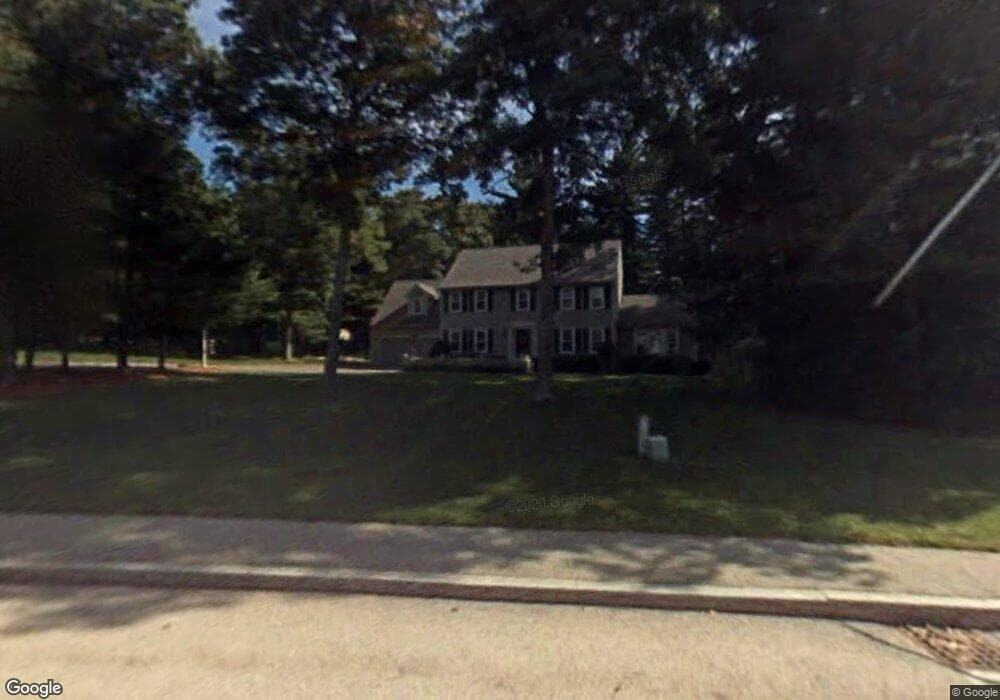
48 Cornet Stetson Rd Hanover, MA 02339
Estimated Value: $1,201,000 - $1,269,000
4
Beds
4
Baths
3,467
Sq Ft
$358/Sq Ft
Est. Value
About This Home
This home is located at 48 Cornet Stetson Rd, Hanover, MA 02339 and is currently estimated at $1,240,929, approximately $357 per square foot. 48 Cornet Stetson Rd is a home located in Plymouth County with nearby schools including Hanover High School, Cadence Academy Preschool - Hanover, and The Master's Academy.
Ownership History
Date
Name
Owned For
Owner Type
Purchase Details
Closed on
Feb 5, 2010
Sold by
Mcgrory Edward P and Mcgrory Janis L
Bought by
Porro Matthew S and Porro Jacqueline B
Current Estimated Value
Purchase Details
Closed on
Apr 29, 2005
Sold by
Grant Helaine M
Bought by
Mcgrory Edward P and Coulson Janis L
Purchase Details
Closed on
Apr 2, 1990
Sold by
North Hanover Nt
Bought by
Shea Christopher M
Create a Home Valuation Report for This Property
The Home Valuation Report is an in-depth analysis detailing your home's value as well as a comparison with similar homes in the area
Home Values in the Area
Average Home Value in this Area
Purchase History
| Date | Buyer | Sale Price | Title Company |
|---|---|---|---|
| Porro Matthew S | $549,355 | -- | |
| Porro Matthew S | $549,355 | -- | |
| Mcgrory Edward P | $720,000 | -- | |
| Mcgrory Edward P | $720,000 | -- | |
| Shea Christopher M | $316,000 | -- |
Source: Public Records
Mortgage History
| Date | Status | Borrower | Loan Amount |
|---|---|---|---|
| Open | Shea Christopher M | $417,000 | |
| Closed | Shea Christopher M | $417,000 |
Source: Public Records
Tax History
| Year | Tax Paid | Tax Assessment Tax Assessment Total Assessment is a certain percentage of the fair market value that is determined by local assessors to be the total taxable value of land and additions on the property. | Land | Improvement |
|---|---|---|---|---|
| 2025 | $13,746 | $1,113,000 | $323,300 | $789,700 |
| 2024 | $13,302 | $1,036,000 | $323,300 | $712,700 |
| 2023 | $13,104 | $971,400 | $293,800 | $677,600 |
| 2022 | $11,961 | $784,300 | $269,400 | $514,900 |
| 2021 | $11,767 | $720,600 | $244,800 | $475,800 |
| 2020 | $11,407 | $699,400 | $244,800 | $454,600 |
| 2019 | $6,738 | $691,900 | $267,100 | $424,800 |
| 2018 | $10,462 | $642,600 | $256,000 | $386,600 |
| 2017 | $6,178 | $629,300 | $251,300 | $378,000 |
| 2016 | $10,241 | $607,400 | $238,000 | $369,400 |
| 2015 | $9,656 | $597,900 | $228,500 | $369,400 |
Source: Public Records
Map
Nearby Homes
- 51 Cervelli Farm Dr
- 37 Dr
- 23 Cervelli Farm Dr
- 38 Cervelli Farm Dr
- 9 Cervelli Farm Dr
- 250 Center St
- 36 Grove St
- 114 Graham Hill Dr
- 95 Tecumseh Dr
- 35 Sproul Rd
- 70 Bardin St
- 75 School St
- 561 Circuit St
- 33 1st Parish Ln
- 62 Larchmont Ln
- 108 Waterford Dr
- 339 State St
- 51 Farmside Dr
- 430 Brook Bend Rd
- 365 Broadway
- 48 Cornet Stetson Rd
- 43 Bradford Rd
- 40 Cornet Stetson Rd
- 29 Bradford Rd
- 56 Cornet Stetson Rd
- 47 Cornet Stetson Rd
- 41 Cornet Stetson Rd
- 55 Bradford Rd
- 38 Brewster Ln
- 40 Bradford Rd
- 54 Bradford Rd
- 17 Bradford Rd
- 57 Cornet Stetson Rd
- 31 Cornet Stetson Rd
- 22 Bradford Rd
- 26 Brewster Ln
- 67 Bradford Rd
- 33 Brewster Ln
- 17 Cornet Stetson Rd
- 72 Bradford Rd
Your Personal Tour Guide
Ask me questions while you tour the home.