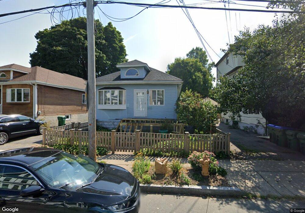
48 Cotting St Medford, MA 02155
Medford Hillside NeighborhoodEstimated Value: $841,000 - $1,032,000
3
Beds
2
Baths
1,136
Sq Ft
$789/Sq Ft
Est. Value
About This Home
This home is located at 48 Cotting St, Medford, MA 02155 and is currently estimated at $896,757, approximately $789 per square foot. 48 Cotting St is a home located in Middlesex County with nearby schools including Medford High School, St. Joseph School, and St. Clement Elementary School.
Ownership History
Date
Name
Owned For
Owner Type
Purchase Details
Closed on
Dec 28, 2018
Sold by
Buoniconti Liala and Erb Gregory
Bought by
Buoniconti Erb Ret
Current Estimated Value
Purchase Details
Closed on
Oct 30, 2007
Sold by
Lawless Michael P and Hale Tracy L
Bought by
Erb Gregory and Buoniconti Liala
Home Financials for this Owner
Home Financials are based on the most recent Mortgage that was taken out on this home.
Original Mortgage
$295,200
Interest Rate
6.39%
Mortgage Type
Purchase Money Mortgage
Purchase Details
Closed on
Jan 30, 2001
Sold by
Chardo Anthony R and Chardo Toni M
Bought by
Lawless Michael P and Hale Tracy L
Home Financials for this Owner
Home Financials are based on the most recent Mortgage that was taken out on this home.
Original Mortgage
$220,000
Interest Rate
7.39%
Mortgage Type
Purchase Money Mortgage
Create a Home Valuation Report for This Property
The Home Valuation Report is an in-depth analysis detailing your home's value as well as a comparison with similar homes in the area
Home Values in the Area
Average Home Value in this Area
Purchase History
| Date | Buyer | Sale Price | Title Company |
|---|---|---|---|
| Buoniconti Erb Ret | -- | -- | |
| Erb Gregory | $369,000 | -- | |
| Lawless Michael P | $275,000 | -- |
Source: Public Records
Mortgage History
| Date | Status | Borrower | Loan Amount |
|---|---|---|---|
| Previous Owner | Erb Gregory | $295,200 | |
| Previous Owner | Lawless Michael P | $220,000 | |
| Previous Owner | Lawless Michael P | $20,000 | |
| Previous Owner | Lawless Michael P | $88,000 |
Source: Public Records
Tax History Compared to Growth
Tax History
| Year | Tax Paid | Tax Assessment Tax Assessment Total Assessment is a certain percentage of the fair market value that is determined by local assessors to be the total taxable value of land and additions on the property. | Land | Improvement |
|---|---|---|---|---|
| 2025 | $6,595 | $749,400 | $472,200 | $277,200 |
| 2024 | $6,041 | $709,000 | $428,300 | $280,700 |
| 2023 | $5,890 | $680,900 | $400,200 | $280,700 |
| 2022 | $5,438 | $603,500 | $363,900 | $239,600 |
| 2021 | $5,257 | $558,700 | $346,500 | $212,200 |
| 2020 | $5,091 | $554,600 | $355,400 | $199,200 |
| 2019 | $4,912 | $511,700 | $323,100 | $188,600 |
| 2018 | $4,623 | $451,500 | $293,700 | $157,800 |
| 2017 | $4,353 | $412,200 | $274,500 | $137,700 |
| 2016 | $4,092 | $365,700 | $249,500 | $116,200 |
| 2015 | $4,117 | $351,900 | $237,700 | $114,200 |
Source: Public Records
Map
Nearby Homes
- 47 Marshall St
- 130 Auburn St
- 76 Orchard St
- 78 Orchard St Unit 2
- 78 Orchard St Unit 1
- 8 Curtis St
- 235 Winthrop St Unit 3302
- 235 Winthrop St Unit 1111
- 2500 Mystic Valley Pkwy Unit 701
- 33 Hamilton St
- 33 Hamilton St Unit 2
- 33 Hamilton St Unit 1
- 190 High St Unit 605
- 16 Hamilton Rd
- 154 High St Unit 204
- 54 South St Unit 4
- 54 South St Unit 5
- 54 South St Unit 1
- 17 Woburn St
- 9 Woods Ave