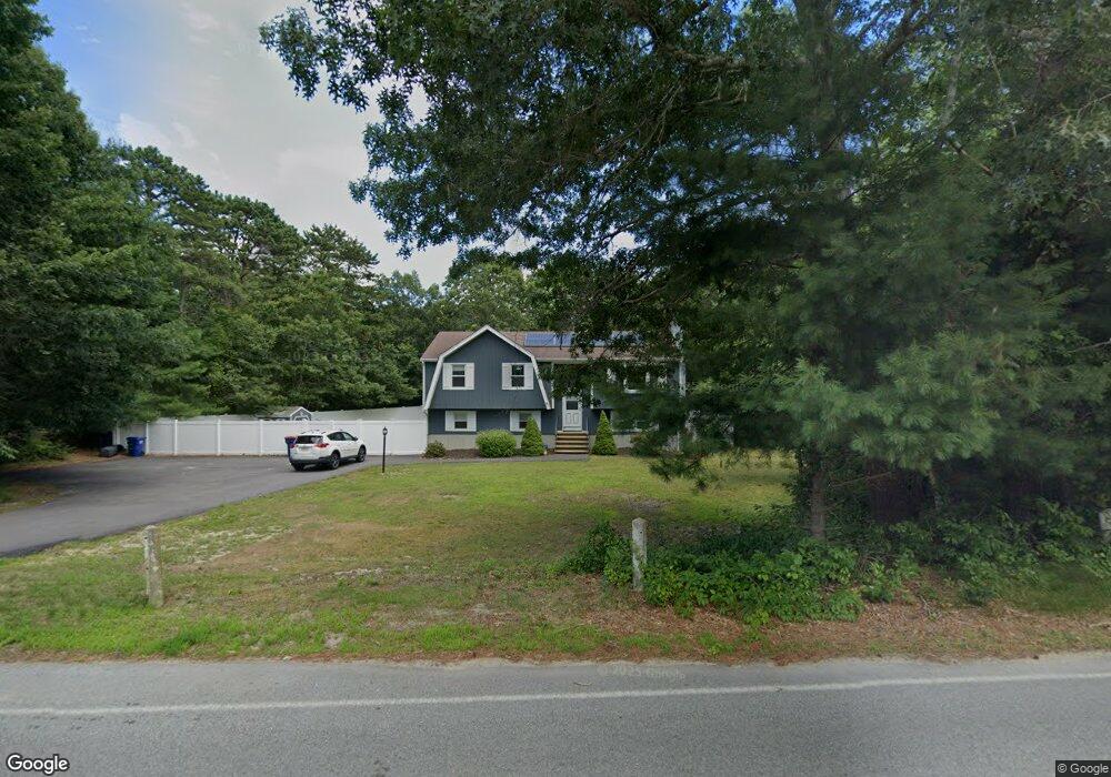
48 Cromesett Rd Wareham, MA 02571
Weweantic NeighborhoodEstimated Value: $516,685 - $572,000
3
Beds
1
Bath
1,801
Sq Ft
$300/Sq Ft
Est. Value
About This Home
This home is located at 48 Cromesett Rd, Wareham, MA 02571 and is currently estimated at $540,171, approximately $299 per square foot. 48 Cromesett Rd is a home located in Plymouth County with nearby schools including Tabor Academy.
Ownership History
Date
Name
Owned For
Owner Type
Purchase Details
Closed on
Dec 31, 1993
Sold by
Monteiro Lisa A
Bought by
Frazier Ronald J and Frazier Regina
Current Estimated Value
Home Financials for this Owner
Home Financials are based on the most recent Mortgage that was taken out on this home.
Original Mortgage
$95,000
Interest Rate
7%
Mortgage Type
Purchase Money Mortgage
Purchase Details
Closed on
Oct 30, 1991
Sold by
Mulrey Lawrence E and Mulrey Diane M
Bought by
Monteiro Lisa A
Home Financials for this Owner
Home Financials are based on the most recent Mortgage that was taken out on this home.
Original Mortgage
$85,500
Interest Rate
8.9%
Mortgage Type
Purchase Money Mortgage
Create a Home Valuation Report for This Property
The Home Valuation Report is an in-depth analysis detailing your home's value as well as a comparison with similar homes in the area
Home Values in the Area
Average Home Value in this Area
Purchase History
| Date | Buyer | Sale Price | Title Company |
|---|---|---|---|
| Frazier Ronald J | $106,000 | -- | |
| Frazier Ronald J | $106,000 | -- | |
| Monteiro Lisa A | $90,000 | -- | |
| Monteiro Lisa A | $90,000 | -- |
Source: Public Records
Mortgage History
| Date | Status | Borrower | Loan Amount |
|---|---|---|---|
| Closed | Monteiro Lisa A | $95,000 | |
| Previous Owner | Monteiro Lisa A | $85,500 |
Source: Public Records
Tax History
| Year | Tax Paid | Tax Assessment Tax Assessment Total Assessment is a certain percentage of the fair market value that is determined by local assessors to be the total taxable value of land and additions on the property. | Land | Improvement |
|---|---|---|---|---|
| 2025 | $4,597 | $441,200 | $119,100 | $322,100 |
| 2024 | $4,646 | $413,700 | $95,400 | $318,300 |
| 2023 | $4,255 | $370,800 | $87,000 | $283,800 |
| 2022 | $4,255 | $322,800 | $87,000 | $235,800 |
| 2021 | $4,120 | $306,300 | $87,000 | $219,300 |
| 2020 | $4,062 | $306,300 | $87,000 | $219,300 |
| 2019 | $3,599 | $270,800 | $89,700 | $181,100 |
| 2018 | $3,572 | $262,100 | $89,700 | $172,400 |
| 2017 | $3,244 | $241,200 | $89,700 | $151,500 |
| 2016 | $3,121 | $230,700 | $89,700 | $141,000 |
| 2015 | $2,698 | $206,400 | $89,700 | $116,700 |
| 2014 | $2,854 | $222,100 | $85,200 | $136,900 |
Source: Public Records
Map
Nearby Homes
- 14 Briarwood Dr
- 9 Woodville Way
- 12 Taft St
- 4 Roosevelt St
- 0 Cromesett Rd (Off) Unit 73385395
- 4 Mather Dr
- 21 Bayview St
- 6 Wildwood Ave
- 15 14th Ave
- 233 Marion Rd
- 10 Barnes St
- 6 Pine St
- 20 Grant St
- 43 Shore Ave
- 15 Broadmarsh Ave
- 6 Allen Ave
- 6 Bourne Terrace
- 10 Longmeadow Dr
- 106 Circuit Ave
- 929 Point Rd
Your Personal Tour Guide
Ask me questions while you tour the home.