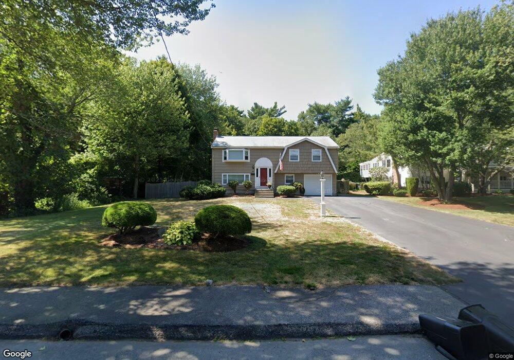
48 Curtis Ave Stoughton, MA 02072
Estimated Value: $633,529 - $674,000
3
Beds
3
Baths
1,776
Sq Ft
$367/Sq Ft
Est. Value
About This Home
This home is located at 48 Curtis Ave, Stoughton, MA 02072 and is currently estimated at $651,632, approximately $366 per square foot. 48 Curtis Ave is a home located in Norfolk County with nearby schools including South Elementary School, O'Donnell Middle School, and Stoughton High School.
Ownership History
Date
Name
Owned For
Owner Type
Purchase Details
Closed on
Mar 18, 1998
Sold by
Greenberg Ralph and Greenberg Mary
Bought by
Mcsweeney Robert W and Mcsweeney Erina M
Current Estimated Value
Home Financials for this Owner
Home Financials are based on the most recent Mortgage that was taken out on this home.
Original Mortgage
$132,750
Outstanding Balance
$24,071
Interest Rate
6.92%
Mortgage Type
Purchase Money Mortgage
Estimated Equity
$627,561
Purchase Details
Closed on
Jul 16, 1993
Sold by
Ostroff Rt
Bought by
Greenberg Ralph and Greenberg Mary
Home Financials for this Owner
Home Financials are based on the most recent Mortgage that was taken out on this home.
Original Mortgage
$121,760
Interest Rate
7.4%
Mortgage Type
Purchase Money Mortgage
Purchase Details
Closed on
Sep 21, 1988
Sold by
Pernock Chris E
Bought by
Ostroff Mark
Create a Home Valuation Report for This Property
The Home Valuation Report is an in-depth analysis detailing your home's value as well as a comparison with similar homes in the area
Home Values in the Area
Average Home Value in this Area
Purchase History
| Date | Buyer | Sale Price | Title Company |
|---|---|---|---|
| Mcsweeney Robert W | $147,500 | -- | |
| Mcsweeney Robert W | $147,500 | -- | |
| Greenberg Ralph | $155,000 | -- | |
| Greenberg Ralph | $155,000 | -- | |
| Ostroff Mark | $140,000 | -- |
Source: Public Records
Mortgage History
| Date | Status | Borrower | Loan Amount |
|---|---|---|---|
| Open | Ostroff Mark | $132,750 | |
| Closed | Ostroff Mark | $132,750 | |
| Previous Owner | Ostroff Mark | $121,760 |
Source: Public Records
Tax History
| Year | Tax Paid | Tax Assessment Tax Assessment Total Assessment is a certain percentage of the fair market value that is determined by local assessors to be the total taxable value of land and additions on the property. | Land | Improvement |
|---|---|---|---|---|
| 2025 | $6,454 | $521,300 | $243,900 | $277,400 |
| 2024 | $6,253 | $491,200 | $222,800 | $268,400 |
| 2023 | $6,066 | $447,700 | $203,600 | $244,100 |
| 2022 | $5,951 | $413,000 | $195,900 | $217,100 |
| 2021 | $5,747 | $380,600 | $172,900 | $207,700 |
| 2020 | $5,547 | $372,500 | $172,900 | $199,600 |
| 2019 | $5,594 | $364,700 | $172,900 | $191,800 |
| 2018 | $4,905 | $331,200 | $165,200 | $166,000 |
| 2017 | $4,703 | $324,600 | $163,300 | $161,300 |
| 2016 | $4,542 | $303,400 | $147,900 | $155,500 |
| 2015 | $4,474 | $295,700 | $140,200 | $155,500 |
| 2014 | $4,357 | $276,800 | $128,700 | $148,100 |
Source: Public Records
Map
Nearby Homes
- 34 Curtis Ave
- 72 Curtis Ave
- 26 Curtis Ave
- 39 Curtis Ave
- 51 Curtis Ave
- 33 Curtis Ave
- 63 Curtis Ave
- 84 Curtis Ave
- 25 Curtis Ave
- 73 Curtis Ave
- 46 William Kelley Rd
- 524 Park St
- 36 William Kelley Rd
- 56 William Kelley Rd
- 85 Curtis Ave
- 94 Curtis Ave
- 26 William Kelley Rd
- 66 William Kelley Rd
- 540 Park St
- 490 Park St
Your Personal Tour Guide
Ask me questions while you tour the home.