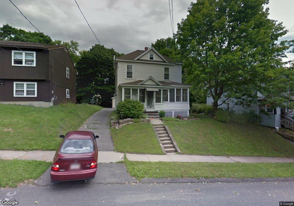
48 Curtis Terrace Pittsfield, MA 01201
Estimated Value: $199,000 - $292,000
3
Beds
1
Bath
1,447
Sq Ft
$168/Sq Ft
Est. Value
About This Home
This home is located at 48 Curtis Terrace, Pittsfield, MA 01201 and is currently estimated at $242,801, approximately $167 per square foot. 48 Curtis Terrace is a home located in Berkshire County with nearby schools including Morningside Community School, Theodore Herberg Middle School, and Pittsfield High School.
Ownership History
Date
Name
Owned For
Owner Type
Purchase Details
Closed on
Apr 25, 1994
Sold by
Lewandowski David C and Lewandowski Robin M
Bought by
Sherman Judith A
Current Estimated Value
Home Financials for this Owner
Home Financials are based on the most recent Mortgage that was taken out on this home.
Original Mortgage
$66,462
Interest Rate
7.6%
Mortgage Type
Purchase Money Mortgage
Create a Home Valuation Report for This Property
The Home Valuation Report is an in-depth analysis detailing your home's value as well as a comparison with similar homes in the area
Home Values in the Area
Average Home Value in this Area
Purchase History
| Date | Buyer | Sale Price | Title Company |
|---|---|---|---|
| Sherman Judith A | $66,500 | -- |
Source: Public Records
Mortgage History
| Date | Status | Borrower | Loan Amount |
|---|---|---|---|
| Open | Sherman Judith A | $10,912 | |
| Open | Sherman Judith A | $67,500 | |
| Closed | Sherman Judith A | $66,462 |
Source: Public Records
Tax History Compared to Growth
Tax History
| Year | Tax Paid | Tax Assessment Tax Assessment Total Assessment is a certain percentage of the fair market value that is determined by local assessors to be the total taxable value of land and additions on the property. | Land | Improvement |
|---|---|---|---|---|
| 2025 | $3,218 | $179,400 | $34,100 | $145,300 |
| 2024 | $2,926 | $158,600 | $34,100 | $124,500 |
| 2023 | $2,710 | $147,900 | $34,100 | $113,800 |
| 2022 | $2,461 | $132,600 | $34,100 | $98,500 |
| 2021 | $2,381 | $123,700 | $34,100 | $89,600 |
| 2020 | $2,381 | $120,800 | $34,100 | $86,700 |
| 2019 | $2,237 | $115,200 | $32,200 | $83,000 |
| 2018 | $2,247 | $112,300 | $32,200 | $80,100 |
| 2017 | $2,242 | $114,200 | $37,000 | $77,200 |
| 2016 | $2,111 | $112,500 | $37,000 | $75,500 |
| 2015 | $2,032 | $112,500 | $37,000 | $75,500 |
Source: Public Records
Map
Nearby Homes
- LOT 20 Plunkett St
- 41 Perrine Ave
- 40 Roland St
- 11 Stanley Ave
- 81 Dartmouth St Unit 205
- 81 Dartmouth St Unit 102
- 52 Brown St
- 48 Brown St
- 24 Glenwood Ave
- 156 Draper Ave
- 29 Glenwood Ave
- 98 Lincoln St
- 26 Springside Ave
- 762 East St
- 9 Myrtle St
- 68 Orchard St
- 14 Allessio St
- 46 Bossidy Dr
- 52 Bossidy Dr
- 326 Dalton Ave
- 40 Curtis Terrace
- 52 Curtis Terrace
- 58 Curtis Terrace
- 185 Woodlawn Ave
- 175 Woodlawn Ave
- 47 Curtis Terrace
- 51 Curtis Terrace
- 28 Curtis Terrace
- 57 Curtis Terrace
- 33 Curtis Terrace
- 171 Woodlawn Ave
- 199 Woodlawn Ave Unit 4
- 199 Woodlawn Ave
- 66 Curtis Terrace
- 199 Woodlawn Ave Unit 16
- 169 Woodlawn Ave
- 61 Curtis Terrace
- 22 Curtis Terrace
- 29 Curtis Terrace
- 72 Curtis Terrace