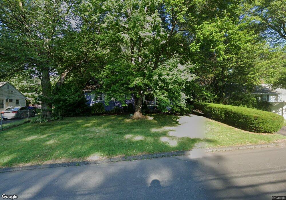
48 Daniel Blvd Bloomfield, CT 06002
Estimated Value: $225,000 - $273,000
3
Beds
2
Baths
994
Sq Ft
$260/Sq Ft
Est. Value
About This Home
This home is located at 48 Daniel Blvd, Bloomfield, CT 06002 and is currently estimated at $258,211, approximately $259 per square foot. 48 Daniel Blvd is a home located in Hartford County with nearby schools including Carmen Arace Intermediate School, Metacomet School, and Laurel School.
Ownership History
Date
Name
Owned For
Owner Type
Purchase Details
Closed on
Dec 2, 1998
Sold by
Denson Elaine and Holden Carolyn
Bought by
Reynolds Sabrina
Current Estimated Value
Home Financials for this Owner
Home Financials are based on the most recent Mortgage that was taken out on this home.
Original Mortgage
$68,250
Interest Rate
10.95%
Mortgage Type
Purchase Money Mortgage
Purchase Details
Closed on
Mar 6, 1998
Sold by
Fhlmc
Bought by
Denson Elaine and Dodd Diane
Purchase Details
Closed on
Jun 26, 1992
Sold by
Hypolite Marsha
Bought by
Johnson Collis
Create a Home Valuation Report for This Property
The Home Valuation Report is an in-depth analysis detailing your home's value as well as a comparison with similar homes in the area
Home Values in the Area
Average Home Value in this Area
Purchase History
| Date | Buyer | Sale Price | Title Company |
|---|---|---|---|
| Reynolds Sabrina | $91,000 | -- | |
| Reynolds Sabrina | $91,000 | -- | |
| Denson Elaine | $60,000 | -- | |
| Denson Elaine | $60,000 | -- | |
| Johnson Collis | $16,500 | -- | |
| Johnson Collis | $16,500 | -- |
Source: Public Records
Mortgage History
| Date | Status | Borrower | Loan Amount |
|---|---|---|---|
| Closed | Johnson Collis | $16,100 | |
| Open | Johnson Collis | $103,500 | |
| Closed | Johnson Collis | $68,250 |
Source: Public Records
Tax History
| Year | Tax Paid | Tax Assessment Tax Assessment Total Assessment is a certain percentage of the fair market value that is determined by local assessors to be the total taxable value of land and additions on the property. | Land | Improvement |
|---|---|---|---|---|
| 2025 | $5,150 | $132,930 | $34,650 | $98,280 |
| 2024 | $4,055 | $99,890 | $30,800 | $69,090 |
| 2023 | $3,984 | $99,890 | $30,800 | $69,090 |
| 2022 | $3,699 | $99,890 | $30,800 | $69,090 |
| 2021 | $3,804 | $99,890 | $30,800 | $69,090 |
| 2020 | $3,747 | $99,890 | $30,800 | $69,090 |
| 2019 | $3,992 | $99,890 | $30,800 | $69,090 |
| 2018 | $3,376 | $84,350 | $30,800 | $53,550 |
| 2017 | $3,379 | $84,350 | $30,800 | $53,550 |
| 2016 | $3,302 | $84,350 | $30,800 | $53,550 |
| 2015 | $3,247 | $84,350 | $30,800 | $53,550 |
| 2014 | $3,798 | $101,710 | $43,750 | $57,960 |
Source: Public Records
Map
Nearby Homes
- 2 Sandra Dr
- 23 Farmstead Cir
- 73 Abbey Ln
- 1130 Blue Hills Ave
- 27 April Way
- 76 Lincoln Way
- 2 Camelot Dr Unit 4
- 38 Sutton Place Unit 38
- 31 Sutton Place
- 159 School St
- 256 Park Ave
- 60 Nod Rd
- 1211R Blue Hills Ave
- 1220 Blue Hills Ave
- 25 Matthew Ln
- 13 Patton Rd
- 747 Blue Hills Ave
- 18 Darby St
- 110 Darby St
- 49 Tyler St
Your Personal Tour Guide
Ask me questions while you tour the home.