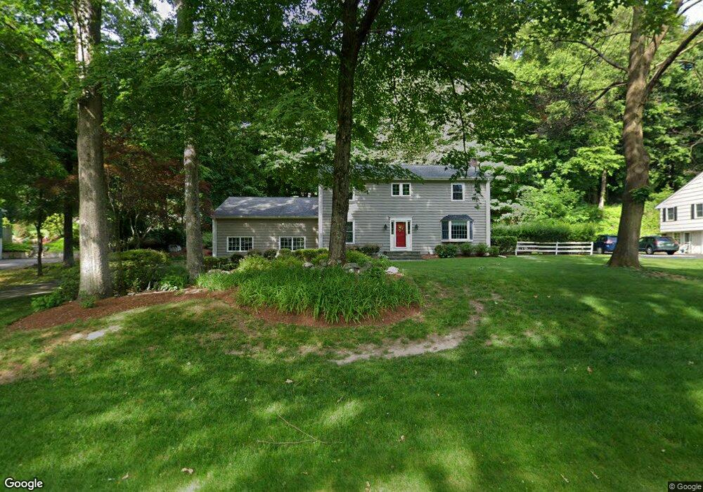
48 Dogwood Ct Stamford, CT 06903
North Stamford NeighborhoodEstimated Value: $1,082,000 - $1,198,759
4
Beds
3
Baths
2,586
Sq Ft
$442/Sq Ft
Est. Value
About This Home
This home is located at 48 Dogwood Ct, Stamford, CT 06903 and is currently estimated at $1,143,440, approximately $442 per square foot. 48 Dogwood Ct is a home located in Fairfield County with nearby schools including Davenport Ridge Elementary School, Rippowam Middle School, and Stamford High School.
Ownership History
Date
Name
Owned For
Owner Type
Purchase Details
Closed on
Mar 17, 2008
Sold by
Degaetano Paul A and Wolford Molly D
Bought by
Ruzzi Christopher J and Ruzzi Linda L
Current Estimated Value
Purchase Details
Closed on
May 29, 2003
Sold by
Carter Benjamin N and Carter Samantha C
Bought by
Degaetano Paul A and Wolford Molly Dale
Purchase Details
Closed on
Nov 2, 1994
Sold by
Reilley James R and Reilley Carol A
Bought by
Carter Benjamin N and Carter Samantha C
Create a Home Valuation Report for This Property
The Home Valuation Report is an in-depth analysis detailing your home's value as well as a comparison with similar homes in the area
Home Values in the Area
Average Home Value in this Area
Purchase History
| Date | Buyer | Sale Price | Title Company |
|---|---|---|---|
| Ruzzi Christopher J | $835,000 | -- | |
| Degaetano Paul A | $725,000 | -- | |
| Carter Benjamin N | $425,000 | -- |
Source: Public Records
Mortgage History
| Date | Status | Borrower | Loan Amount |
|---|---|---|---|
| Open | Carter Benjamin N | $399,000 | |
| Closed | Carter Benjamin N | $50,000 |
Source: Public Records
Tax History Compared to Growth
Tax History
| Year | Tax Paid | Tax Assessment Tax Assessment Total Assessment is a certain percentage of the fair market value that is determined by local assessors to be the total taxable value of land and additions on the property. | Land | Improvement |
|---|---|---|---|---|
| 2025 | $13,643 | $586,310 | $275,290 | $311,020 |
| 2024 | $13,344 | $586,310 | $275,290 | $311,020 |
| 2023 | $14,341 | $586,310 | $275,290 | $311,020 |
| 2022 | $12,371 | $469,840 | $208,160 | $261,680 |
| 2021 | $12,202 | $469,840 | $208,160 | $261,680 |
| 2020 | $11,901 | $469,840 | $208,160 | $261,680 |
| 2019 | $11,901 | $469,840 | $208,160 | $261,680 |
| 2018 | $11,488 | $469,840 | $208,160 | $261,680 |
| 2017 | $11,121 | $434,570 | $190,810 | $243,760 |
| 2016 | $10,786 | $434,570 | $190,810 | $243,760 |
| 2015 | $10,491 | $434,570 | $190,810 | $243,760 |
| 2014 | $10,130 | $434,570 | $190,810 | $243,760 |
Source: Public Records
Map
Nearby Homes
- 400 Wire Mill Rd
- 210 Red Fox Rd
- 107 Deepwood Rd
- 2 Butternut Place
- 160 Wire Mill Rd
- 164 Janes Ln
- 88 Rockridge Ln
- 81 Blackwood Ln
- 65 Malibu Rd
- 60 Redmont Rd
- 368 Den Rd
- 30 Partridge Rd
- 38 Lancaster Place
- 21 Timber Mill Rd
- 7 the Reserve at Sterling Ridge
- 494 Sawmill Rd
- 56 Bradley Place
- 34 Bradley Place
- 180 Riverbank Rd
- 506 Roxbury Rd