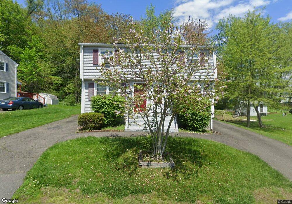
48 Elm Cir Unit 50 West Springfield, MA 01089
Estimated Value: $316,735 - $393,000
4
Beds
2
Baths
1,710
Sq Ft
$216/Sq Ft
Est. Value
About This Home
This home is located at 48 Elm Cir Unit 50, West Springfield, MA 01089 and is currently estimated at $370,184, approximately $216 per square foot. 48 Elm Cir Unit 50 is a home located in Hampden County with nearby schools including Hampden Charter School of Science West and St Thomas The Apostle School.
Ownership History
Date
Name
Owned For
Owner Type
Purchase Details
Closed on
Sep 24, 2019
Sold by
Hillios Stewart T and Hillios Carol A
Bought by
Kennedy Daniel A and Kennedy Jennifer A
Current Estimated Value
Home Financials for this Owner
Home Financials are based on the most recent Mortgage that was taken out on this home.
Original Mortgage
$237,500
Outstanding Balance
$208,457
Interest Rate
3.7%
Mortgage Type
New Conventional
Estimated Equity
$161,727
Create a Home Valuation Report for This Property
The Home Valuation Report is an in-depth analysis detailing your home's value as well as a comparison with similar homes in the area
Home Values in the Area
Average Home Value in this Area
Purchase History
| Date | Buyer | Sale Price | Title Company |
|---|---|---|---|
| Kennedy Daniel A | $250,000 | -- |
Source: Public Records
Mortgage History
| Date | Status | Borrower | Loan Amount |
|---|---|---|---|
| Open | Kennedy Daniel A | $237,500 |
Source: Public Records
Tax History Compared to Growth
Tax History
| Year | Tax Paid | Tax Assessment Tax Assessment Total Assessment is a certain percentage of the fair market value that is determined by local assessors to be the total taxable value of land and additions on the property. | Land | Improvement |
|---|---|---|---|---|
| 2025 | $3,529 | $237,300 | $98,500 | $138,800 |
| 2024 | $3,541 | $239,100 | $98,500 | $140,600 |
| 2023 | $3,554 | $228,700 | $96,300 | $132,400 |
| 2022 | $3,674 | $233,100 | $87,500 | $145,600 |
| 2021 | $3,214 | $190,200 | $80,300 | $109,900 |
| 2020 | $3,147 | $185,200 | $80,300 | $104,900 |
| 2019 | $3,141 | $185,200 | $80,300 | $104,900 |
| 2018 | $3,158 | $185,200 | $80,300 | $104,900 |
| 2017 | $3,158 | $185,200 | $80,300 | $104,900 |
| 2016 | $3,089 | $181,800 | $75,500 | $106,300 |
| 2015 | $2,989 | $175,900 | $74,000 | $101,900 |
| 2014 | $2,887 | $175,900 | $74,000 | $101,900 |
Source: Public Records
Map
Nearby Homes