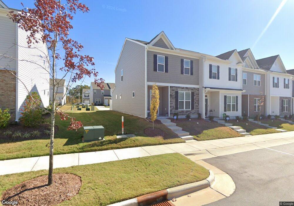
48 Enterprise Dr Unit 61 Clayton, NC 27520
Municipal Park NeighborhoodEstimated Value: $274,000 - $296,946
3
Beds
3
Baths
1,407
Sq Ft
$202/Sq Ft
Est. Value
About This Home
This home is located at 48 Enterprise Dr Unit 61, Clayton, NC 27520 and is currently estimated at $283,737, approximately $201 per square foot. 48 Enterprise Dr Unit 61 is a home located in Johnston County with nearby schools including Cooper Academy, Riverwood Middle School, and Clayton High.
Ownership History
Date
Name
Owned For
Owner Type
Purchase Details
Closed on
Feb 16, 2024
Sold by
Yarborough Lindsay and Brewer Robert Ray
Bought by
Oerter Nicholas Morrell
Current Estimated Value
Home Financials for this Owner
Home Financials are based on the most recent Mortgage that was taken out on this home.
Original Mortgage
$290,903
Outstanding Balance
$285,839
Interest Rate
6.69%
Mortgage Type
New Conventional
Estimated Equity
-$2,102
Purchase Details
Closed on
Apr 21, 2021
Sold by
D R Horton Terramor Llc
Bought by
Yarborough Lindsay
Home Financials for this Owner
Home Financials are based on the most recent Mortgage that was taken out on this home.
Original Mortgage
$223,131
Interest Rate
3.05%
Mortgage Type
USDA
Purchase Details
Closed on
Dec 2, 2020
Sold by
Forestar Real Estate Group Inc
Bought by
D R Horton Terramor Llc
Create a Home Valuation Report for This Property
The Home Valuation Report is an in-depth analysis detailing your home's value as well as a comparison with similar homes in the area
Home Values in the Area
Average Home Value in this Area
Purchase History
| Date | Buyer | Sale Price | Title Company |
|---|---|---|---|
| Oerter Nicholas Morrell | $300,000 | None Listed On Document | |
| Oerter Nicholas Morrell | $300,000 | None Listed On Document | |
| Yarborough Lindsay | $221,000 | None Available | |
| D R Horton Terramor Llc | $329,000 | None Available |
Source: Public Records
Mortgage History
| Date | Status | Borrower | Loan Amount |
|---|---|---|---|
| Open | Oerter Nicholas Morrell | $290,903 | |
| Closed | Oerter Nicholas Morrell | $290,903 | |
| Previous Owner | Yarborough Lindsay | $223,131 |
Source: Public Records
Tax History Compared to Growth
Tax History
| Year | Tax Paid | Tax Assessment Tax Assessment Total Assessment is a certain percentage of the fair market value that is determined by local assessors to be the total taxable value of land and additions on the property. | Land | Improvement |
|---|---|---|---|---|
| 2025 | $2,649 | $262,240 | $65,000 | $197,240 |
| 2024 | $2,477 | $187,630 | $55,000 | $132,630 |
| 2023 | $2,420 | $187,630 | $55,000 | $132,630 |
| 2022 | $2,495 | $187,630 | $55,000 | $132,630 |
| 2021 | $721 | $55,000 | $55,000 | $0 |
Source: Public Records
Map
Nearby Homes
- 48 Enterprise Dr
- 201 Liam St
- 191 Liam St
- 709 W Horne St
- 316 S Moore St
- 1509 Kenmore Dr
- 129 Crawford Pkwy
- 129 Sturbridge Dr Unit 15
- 113 Sturbridge Dr Unit 113
- 510 Willow Dr
- 591 Atwood Dr
- 44 Honeydew Way
- 48 Honeydew Way
- 55 Honeydew Way
- TBD Channel Drop Dr Unit 123
- TBD Channel Drop Dr Unit 94
- 320 Virginia St
- 52 E Piston Point
- 161 Wildflower Cir
- 131 Wildflower Cir
- 24 Enterprise Dr Unit 64
- 12 Enterprise Dr Unit 66
- 106 Enterprise Dr
- 106 Enterprise Dr Unit 55
- 218 Liam St Unit 72
- 232 Liam St Unit 71
- 206 Liam St
- 206 Liam St
- 206 Liam St Unit 117
- 206 Liam St Unit 73
- 242 Liam St
- 242 Liam St Unit 70
- 196 Liam St Unit 74
- 252 Liam St Unit 69
- Lot 2 Cameron Way
- Lot 3 Cameron Way
- LOT 6 Cameron Way
- Lot 4 Cameron Way
- 262 Liam St Unit 68
- 186 Liam St