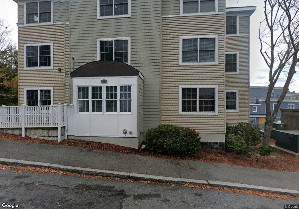
48 Federal St Unit 104 Beverly, MA 01915
Downtown Beverly NeighborhoodEstimated Value: $248,000 - $406,000
1
Bed
1
Bath
815
Sq Ft
$361/Sq Ft
Est. Value
About This Home
This home is located at 48 Federal St Unit 104, Beverly, MA 01915 and is currently estimated at $294,134, approximately $360 per square foot. 48 Federal St Unit 104 is a home located in Essex County with nearby schools including Beverly High School, Mrs Alexander's School, and Shore Country Day School.
Ownership History
Date
Name
Owned For
Owner Type
Purchase Details
Closed on
Mar 31, 2011
Sold by
L & L Solomon Fund In
Bought by
Pierce Jessica L
Current Estimated Value
Home Financials for this Owner
Home Financials are based on the most recent Mortgage that was taken out on this home.
Original Mortgage
$94,325
Outstanding Balance
$65,335
Interest Rate
5.04%
Mortgage Type
Purchase Money Mortgage
Estimated Equity
$228,799
Purchase Details
Closed on
Jul 23, 2010
Sold by
Atlas Mortgage Corp
Bought by
Lawrence & L Solomon Fun
Create a Home Valuation Report for This Property
The Home Valuation Report is an in-depth analysis detailing your home's value as well as a comparison with similar homes in the area
Home Values in the Area
Average Home Value in this Area
Purchase History
| Date | Buyer | Sale Price | Title Company |
|---|---|---|---|
| Pierce Jessica L | $122,500 | -- | |
| Lawrence & L Solomon Fun | -- | -- |
Source: Public Records
Mortgage History
| Date | Status | Borrower | Loan Amount |
|---|---|---|---|
| Open | Lawrence & L Solomon Fun | $94,325 | |
| Closed | Lawrence & L Solomon Fun | $24,500 | |
| Closed | Lawrence & L Solomon Fun | $0 |
Source: Public Records
Tax History Compared to Growth
Tax History
| Year | Tax Paid | Tax Assessment Tax Assessment Total Assessment is a certain percentage of the fair market value that is determined by local assessors to be the total taxable value of land and additions on the property. | Land | Improvement |
|---|---|---|---|---|
| 2025 | $2,017 | $183,500 | $0 | $183,500 |
| 2024 | $2,668 | $237,600 | $0 | $237,600 |
| 2023 | $2,396 | $212,800 | $0 | $212,800 |
| 2022 | $2,479 | $203,700 | $0 | $203,700 |
| 2021 | $2,290 | $180,300 | $0 | $180,300 |
| 2020 | $2,207 | $172,000 | $0 | $172,000 |
| 2019 | $2,001 | $151,500 | $0 | $151,500 |
| 2018 | $1,992 | $146,500 | $0 | $146,500 |
| 2017 | $1,864 | $130,500 | $0 | $130,500 |
| 2016 | $1,733 | $120,400 | $0 | $120,400 |
| 2015 | $1,699 | $120,400 | $0 | $120,400 |
Source: Public Records
Map
Nearby Homes
- 261 Rantoul St
- 19 Pond St
- 348 Rantoul St Unit 202
- The Cabot Collection
- 9.5 Fayette Unit 9.5
- 12 Fayette St Unit 4
- 60 Rantoul St Unit 711N
- 70 Chase St
- 142 Elliott St
- 21 Summit Ave Unit 2
- 40 & 40R Stone St
- 43 Front St
- 34 Beckford St Unit B
- 20 Ropes St
- 10 Quincy Park
- 7 Lothrop St
- 9 Swan St Unit 1
- 9 Swan St Unit 3
- 9 Swan St Unit 2
- 16 Crescent Ave
- 48 Federal St Unit 306
- 48 Federal St Unit 305
- 48 Federal St Unit 304
- 48 Federal St Unit 303
- 48 Federal St Unit 302
- 48 Federal St Unit 301
- 48 Federal St Unit 206
- 48 Federal St Unit 205
- 48 Federal St Unit 204
- 48 Federal St Unit 203
- 48 Federal St Unit 202
- 48 Federal St Unit 201
- 48 Federal St Unit 106
- 48 Federal St Unit 105
- 48 Federal St Unit 103
- 48 Federal St Unit 102
- 48 Federal St Unit 101
- 253 Rantoul St Unit 19
- 253 Rantoul St
- 251 Rantoul St