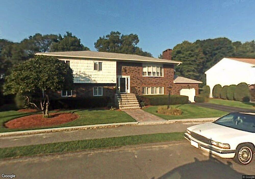
48 Fieldstone Dr Stoneham, MA 02180
Haywardville NeighborhoodEstimated Value: $987,195 - $1,111,000
3
Beds
3
Baths
2,695
Sq Ft
$386/Sq Ft
Est. Value
About This Home
This home is located at 48 Fieldstone Dr, Stoneham, MA 02180 and is currently estimated at $1,039,299, approximately $385 per square foot. 48 Fieldstone Dr is a home located in Middlesex County with nearby schools including Stoneham High School, Mystic Valley Regional Charter School, and Pioneer Charter School Of Science II.
Ownership History
Date
Name
Owned For
Owner Type
Purchase Details
Closed on
Oct 16, 2024
Sold by
Anselmi Joanne E
Bought by
Anselmi Ft and Anselmi
Current Estimated Value
Purchase Details
Closed on
Aug 6, 1974
Bought by
Anselmi Paul and Anselmi Joanne E
Create a Home Valuation Report for This Property
The Home Valuation Report is an in-depth analysis detailing your home's value as well as a comparison with similar homes in the area
Home Values in the Area
Average Home Value in this Area
Purchase History
| Date | Buyer | Sale Price | Title Company |
|---|---|---|---|
| Anselmi Ft | -- | None Available | |
| Anselmi Ft | -- | None Available | |
| Anselmi Paul | -- | -- |
Source: Public Records
Mortgage History
| Date | Status | Borrower | Loan Amount |
|---|---|---|---|
| Previous Owner | Anselmi Paul | $50,000 |
Source: Public Records
Tax History
| Year | Tax Paid | Tax Assessment Tax Assessment Total Assessment is a certain percentage of the fair market value that is determined by local assessors to be the total taxable value of land and additions on the property. | Land | Improvement |
|---|---|---|---|---|
| 2025 | $8,568 | $837,500 | $420,400 | $417,100 |
| 2024 | $8,335 | $787,100 | $400,400 | $386,700 |
| 2023 | $8,009 | $721,500 | $360,400 | $361,100 |
| 2022 | $7,060 | $678,200 | $340,400 | $337,800 |
| 2021 | $6,875 | $635,400 | $320,400 | $315,000 |
| 2020 | $6,777 | $628,100 | $310,400 | $317,700 |
| 2019 | $6,878 | $613,000 | $290,400 | $322,600 |
| 2018 | $6,594 | $563,100 | $270,400 | $292,700 |
| 2017 | $6,482 | $523,200 | $260,400 | $262,800 |
| 2016 | $6,187 | $487,200 | $250,400 | $236,800 |
| 2015 | $6,315 | $487,300 | $250,400 | $236,900 |
| 2014 | $6,257 | $463,800 | $240,400 | $223,400 |
Source: Public Records
Map
Nearby Homes
- 159 Franklin St Unit D2
- 159 Franklin St Unit C2
- 159 Franklin St Unit E6
- 17 Franklin St
- 137 Franklin St Unit 102
- 33 Lake Ave
- 53 Perkins St
- 5 Chapel Way
- 51 Spring St
- 7 Carol St
- 35 Maple Rd
- 11 Ludlow Ave
- 601 Franklin St Unit 2
- 12 Lovis Ave
- 8 Common St Unit 3
- 6 Everett St
- 9 Lovis Ave
- 4 Garfield Ave
- 10 Pomeworth St Unit A
- 24 Ellsworth Ave
Your Personal Tour Guide
Ask me questions while you tour the home.