48 Forshaw Ave Plainville, CT 06062
Estimated Value: $311,823 - $347,000
2
Beds
2
Baths
1,109
Sq Ft
$298/Sq Ft
Est. Value
About This Home
This home is located at 48 Forshaw Ave, Plainville, CT 06062 and is currently estimated at $330,706, approximately $298 per square foot. 48 Forshaw Ave is a home located in Hartford County with nearby schools including Middle School Of Plainville, Plainville High School, and Great Beginnings.
Ownership History
Date
Name
Owned For
Owner Type
Purchase Details
Closed on
Oct 27, 2023
Sold by
Dionne Jeannine G
Bought by
Lavoie Lisa A
Current Estimated Value
Purchase Details
Closed on
Apr 21, 2008
Sold by
Oakland Dev Llc
Bought by
Dionne Jeannot F and Dionne Jeannine G
Home Financials for this Owner
Home Financials are based on the most recent Mortgage that was taken out on this home.
Original Mortgage
$45,000
Interest Rate
6.1%
Mortgage Type
Purchase Money Mortgage
Create a Home Valuation Report for This Property
The Home Valuation Report is an in-depth analysis detailing your home's value as well as a comparison with similar homes in the area
Home Values in the Area
Average Home Value in this Area
Purchase History
| Date | Buyer | Sale Price | Title Company |
|---|---|---|---|
| Lavoie Lisa A | -- | None Available | |
| Lavoie Lisa A | -- | None Available | |
| Dionne Jeannot F | $223,000 | -- | |
| Dionne Jeannot F | $223,000 | -- |
Source: Public Records
Mortgage History
| Date | Status | Borrower | Loan Amount |
|---|---|---|---|
| Previous Owner | Dionne Jeannot F | $45,000 |
Source: Public Records
Tax History Compared to Growth
Tax History
| Year | Tax Paid | Tax Assessment Tax Assessment Total Assessment is a certain percentage of the fair market value that is determined by local assessors to be the total taxable value of land and additions on the property. | Land | Improvement |
|---|---|---|---|---|
| 2025 | $5,140 | $149,590 | $0 | $149,590 |
| 2024 | $4,883 | $149,590 | $0 | $149,590 |
| 2023 | $4,700 | $149,590 | $0 | $149,590 |
| 2022 | $4,583 | $149,590 | $0 | $149,590 |
| 2021 | $4,304 | $124,530 | $0 | $124,530 |
| 2020 | $4,311 | $124,530 | $0 | $124,530 |
| 2019 | $4,311 | $124,530 | $0 | $124,530 |
| 2018 | $4,214 | $124,530 | $0 | $124,530 |
| 2017 | $4,070 | $124,530 | $0 | $124,530 |
| 2016 | $4,394 | $137,340 | $0 | $137,340 |
| 2015 | $4,372 | $137,340 | $0 | $137,340 |
| 2014 | $4,813 | $153,370 | $0 | $153,370 |
Source: Public Records
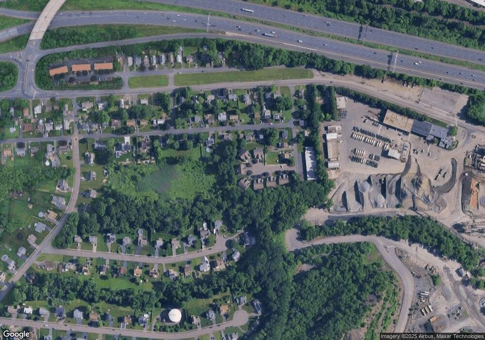
Map
Nearby Homes
- 58 Forshaw Ave
- 135 Woodford Avenue Extension
- 36 View St
- 0 Lot 36 Unit 24121321
- 20 Macarthur Rd
- 97 Dallas Ave Unit A4
- 95 May St
- 84 May St
- 78 May St
- 47 May St
- 133 Westwood Dr
- 130 Wooster St
- 17 Laurel St
- 98 Rockwell Ave
- 123 Hickory Hill Rd
- 31 E Broad St
- 97 Trumbull Ave
- 65 Torkom Dr
- 16 1/2 E Maple St
- 17 Farmington Ave Unit 15
- 50 Forshaw Ave
- 46 Forshaw Ave
- 52 Forshaw Ave
- 54 Forshaw Ave
- 42 Forshaw Ave
- 42 Forshaw Ave Unit 42
- 56 Forshaw Ave
- 40 Forshaw Ave
- 200 Westwood Ave
- 60 Forshaw Ave
- 212 Westwood Ave
- 64 Forshaw Ave
- 36 Forshaw Ave
- 66 Forshaw Ave
- 192 Westwood Ave
- 30 Forshaw Ave
- 191 Westwood Ave
- 226 Westwood Ave
- 211 Westwood Ave
- 182 Westwood Ave