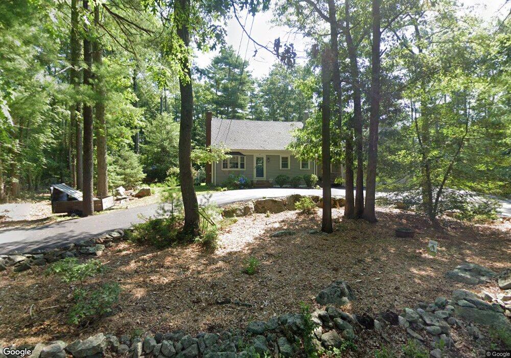
48 Gammons Rd Acushnet, MA 02743
Upper Acushnet NeighborhoodEstimated Value: $486,625 - $544,000
Studio
2
Baths
1,664
Sq Ft
$317/Sq Ft
Est. Value
About This Home
This home is located at 48 Gammons Rd, Acushnet, MA 02743 and is currently estimated at $527,906, approximately $317 per square foot. 48 Gammons Rd is a home located in Bristol County with nearby schools including Acushnet Elementary School, Albert F Ford Middle School, and St Francis Xavier Elementary School.
Ownership History
Date
Name
Owned For
Owner Type
Purchase Details
Closed on
Oct 15, 2004
Sold by
Caron Dwight S and Caron Nancy L
Bought by
Nunes Marco P and Nunes Sarah
Current Estimated Value
Home Financials for this Owner
Home Financials are based on the most recent Mortgage that was taken out on this home.
Original Mortgage
$218,500
Interest Rate
5.8%
Mortgage Type
Purchase Money Mortgage
Create a Home Valuation Report for This Property
The Home Valuation Report is an in-depth analysis detailing your home's value as well as a comparison with similar homes in the area
Home Values in the Area
Average Home Value in this Area
Purchase History
| Date | Buyer | Sale Price | Title Company |
|---|---|---|---|
| Nunes Marco P | $295,000 | -- |
Source: Public Records
Mortgage History
| Date | Status | Borrower | Loan Amount |
|---|---|---|---|
| Open | Nunes Marco P | $237,840 | |
| Closed | Nunes Marco P | $218,500 |
Source: Public Records
Tax History
| Year | Tax Paid | Tax Assessment Tax Assessment Total Assessment is a certain percentage of the fair market value that is determined by local assessors to be the total taxable value of land and additions on the property. | Land | Improvement |
|---|---|---|---|---|
| 2025 | $43 | $397,500 | $113,400 | $284,100 |
| 2024 | $4,088 | $358,300 | $108,400 | $249,900 |
| 2023 | $4,134 | $344,500 | $98,600 | $245,900 |
| 2022 | $4,094 | $308,500 | $93,600 | $214,900 |
| 2021 | $3,781 | $273,400 | $93,600 | $179,800 |
| 2020 | $3,811 | $273,400 | $93,600 | $179,800 |
| 2019 | $3,680 | $259,500 | $93,600 | $165,900 |
| 2018 | $3,563 | $247,100 | $93,600 | $153,500 |
| 2017 | $3,453 | $239,100 | $93,600 | $145,500 |
| 2016 | $3,422 | $235,500 | $93,600 | $141,900 |
| 2015 | $3,149 | $220,500 | $93,600 | $126,900 |
Source: Public Records
Map
Nearby Homes
- 489 Main St
- 0 Land Way Unit 73479153
- 363 Main St
- 224 North St
- 7 Laura Ln
- 1 Rounseville Rd
- 25 Pershing Ave
- 0 Hathaway Rd Unit 73469544
- 23 Oliveira Ave
- 41 Chershire Ave
- 12 White St
- 329 Middle Rd
- 11 Boylston St
- 14 Hayes St Unit 1
- 12 Hayes St Unit 1
- 7 Hamlin St
- 134 Nyes Ln
- 23 Coury Dr
- 9 Monmouth St
- 27 Meadow Ln
Your Personal Tour Guide
Ask me questions while you tour the home.