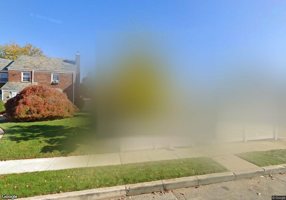
48 Graffing Place Freeport, NY 11520
Estimated Value: $590,162 - $764,000
--
Bed
1
Bath
1,794
Sq Ft
$377/Sq Ft
Est. Value
About This Home
This home is located at 48 Graffing Place, Freeport, NY 11520 and is currently estimated at $677,081, approximately $377 per square foot. 48 Graffing Place is a home located in Nassau County with nearby schools including Columbus Avenue School, Caroline G. Atkinson Intermediate School, and John W Dodd Middle School.
Ownership History
Date
Name
Owned For
Owner Type
Purchase Details
Closed on
Jun 25, 2025
Sold by
Cortez Carlos A and Vivar Julio R
Bought by
Vivar Julio R
Current Estimated Value
Purchase Details
Closed on
May 11, 2021
Sold by
Cortez Dalila E
Bought by
Cortez Carlos A and Vivar Julio R
Purchase Details
Closed on
Dec 13, 2011
Sold by
Cortez Carlos A and Cortez Dalila E
Bought by
Cortez Dalila E
Purchase Details
Closed on
Jan 5, 2007
Sold by
Cortez Dalila
Create a Home Valuation Report for This Property
The Home Valuation Report is an in-depth analysis detailing your home's value as well as a comparison with similar homes in the area
Home Values in the Area
Average Home Value in this Area
Purchase History
| Date | Buyer | Sale Price | Title Company |
|---|---|---|---|
| Vivar Julio R | -- | Multiple | |
| Cortez Carlos A | -- | Judicial Title | |
| Cortez Carlos A | -- | Judicial Title | |
| Cortez Dalila E | -- | -- | |
| Cortez Dalila E | -- | -- | |
| Cortez Dalila E | -- | -- | |
| -- | -- | -- | |
| -- | -- | -- |
Source: Public Records
Tax History Compared to Growth
Tax History
| Year | Tax Paid | Tax Assessment Tax Assessment Total Assessment is a certain percentage of the fair market value that is determined by local assessors to be the total taxable value of land and additions on the property. | Land | Improvement |
|---|---|---|---|---|
| 2025 | $9,423 | $437 | $205 | $232 |
| 2024 | $988 | $437 | $205 | $232 |
| 2023 | $9,781 | $437 | $205 | $232 |
| 2022 | $9,781 | $437 | $205 | $232 |
| 2021 | $14,844 | $418 | $196 | $222 |
| 2020 | $10,563 | $702 | $458 | $244 |
| 2019 | $1,165 | $702 | $458 | $244 |
| 2018 | $1,206 | $702 | $0 | $0 |
| 2017 | $8,448 | $702 | $458 | $244 |
| 2016 | $9,502 | $702 | $458 | $244 |
| 2015 | $1,014 | $702 | $458 | $244 |
| 2014 | $1,014 | $702 | $458 | $244 |
| 2013 | $958 | $702 | $458 | $244 |
Source: Public Records
Map
Nearby Homes
- 47 Harding Place
- 11 Mount Ave
- 26 Rosedale Ave
- 45 Dehnhoff Ave
- 98 N Columbus Ave
- 96 N Columbus Ave
- 182 Grand Ave
- 67 E Dean St
- 70 N Grove St Unit 1R
- 117 N Grove St
- 101 Harris Ave
- 55 Harris Ave
- 112 E Seaman Ave
- 70 S Main St Unit 307-PH
- 6 Frederick Ave
- 221 E Dean St
- 251 Grand Ave
- 99 Randall Ave Unit 2-J
- 99 Randall Ave Unit 1Q
- 173 E Seaman Ave
- 44 Graffing Place
- 50 Graffing Place
- 56 Graffing Place
- 70 Graffing Place
- 49 Graffing Place
- 41 Graffing Place
- 57 Graffing Place
- 61 Graffing Place
- 37 Graffing Place
- 37 Graffing Place
- 55 Mount Ave
- 61 Mount Ave
- 51 Mount Ave
- 65 Mount Ave
- 30 Graffing Place
- 67 Mount Ave
- 78 Graffing Place
- 47 Mount Ave
- 75 Mount Ave
- 98 Grand Ave