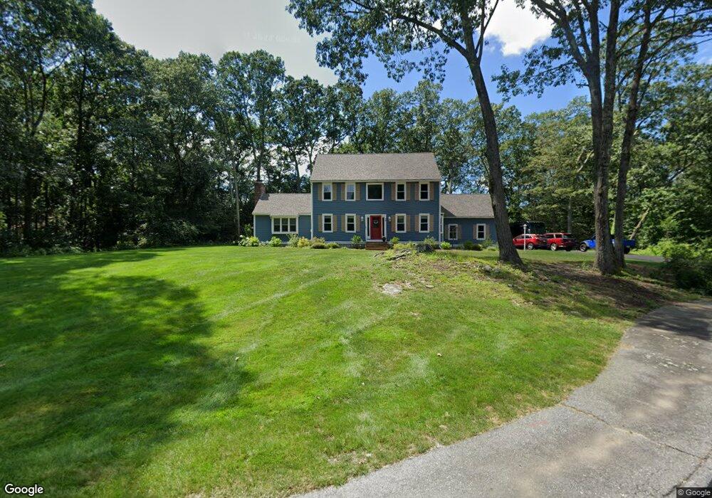
48 Grogan Path Marlborough, MA 01752
Estimated Value: $855,785 - $903,000
3
Beds
3
Baths
2,338
Sq Ft
$379/Sq Ft
Est. Value
About This Home
This home is located at 48 Grogan Path, Marlborough, MA 01752 and is currently estimated at $887,196, approximately $379 per square foot. 48 Grogan Path is a home located in Middlesex County with nearby schools including Marlborough High School, New Covenant Christian School, and Glenhaven Academy - JRI School.
Ownership History
Date
Name
Owned For
Owner Type
Purchase Details
Closed on
Jun 27, 2023
Sold by
Giroux Charles S and Giroux Mary T
Bought by
Mary T Giroux T T and Mary Giroux
Current Estimated Value
Purchase Details
Closed on
Jan 6, 2020
Sold by
Charles S Giroux Ret
Bought by
Giroux Charles S and Giroux Mary T
Home Financials for this Owner
Home Financials are based on the most recent Mortgage that was taken out on this home.
Original Mortgage
$448,000
Interest Rate
3.6%
Mortgage Type
New Conventional
Purchase Details
Closed on
Sep 11, 2019
Sold by
Giroux Charles S and Giroux Mary T
Bought by
Charles S Giroux Ret
Purchase Details
Closed on
Apr 2, 1992
Sold by
K & M Rt
Bought by
Giroux Charles S and Giroux Mary T
Home Financials for this Owner
Home Financials are based on the most recent Mortgage that was taken out on this home.
Original Mortgage
$225,000
Interest Rate
8.73%
Mortgage Type
Purchase Money Mortgage
Create a Home Valuation Report for This Property
The Home Valuation Report is an in-depth analysis detailing your home's value as well as a comparison with similar homes in the area
Home Values in the Area
Average Home Value in this Area
Purchase History
| Date | Buyer | Sale Price | Title Company |
|---|---|---|---|
| Mary T Giroux T T | -- | None Available | |
| Giroux Charles S | -- | None Available | |
| Charles S Giroux Ret | -- | -- | |
| Giroux Charles S | $250,000 | -- |
Source: Public Records
Mortgage History
| Date | Status | Borrower | Loan Amount |
|---|---|---|---|
| Previous Owner | Giroux Charles S | $448,000 | |
| Previous Owner | Giroux Charles S | $225,000 |
Source: Public Records
Tax History Compared to Growth
Tax History
| Year | Tax Paid | Tax Assessment Tax Assessment Total Assessment is a certain percentage of the fair market value that is determined by local assessors to be the total taxable value of land and additions on the property. | Land | Improvement |
|---|---|---|---|---|
| 2025 | $7,710 | $781,900 | $250,600 | $531,300 |
| 2024 | $7,346 | $717,400 | $227,700 | $489,700 |
| 2023 | $7,627 | $660,900 | $187,700 | $473,200 |
| 2022 | $7,375 | $562,100 | $179,000 | $383,100 |
| 2021 | $3,202 | $530,500 | $149,400 | $381,100 |
| 2020 | $7,194 | $507,300 | $142,400 | $364,900 |
| 2019 | $2,928 | $490,500 | $139,800 | $350,700 |
| 2018 | $2,893 | $460,900 | $128,900 | $332,000 |
| 2017 | $6,678 | $435,900 | $131,100 | $304,800 |
| 2016 | $6,493 | $423,300 | $131,100 | $292,200 |
| 2015 | $6,720 | $426,400 | $141,400 | $285,000 |
Source: Public Records
Map
Nearby Homes
- 168 Blanchette Dr
- 618 Sudbury St
- 17 Mcneil Cir
- 551 Sudbury St
- 3 Stonehill Rd
- 38 Collins Dr
- 28 Stetson Dr
- 16 Minehan Ln
- 492 Stow Rd
- 114 Linda Cir
- 274 Naugler Ave
- 33A Russo Dr
- 688 Boston Post Rd E Unit 202
- 688 Boston Post Rd E Unit 304
- 688 Boston Post Rd E Unit 100
- 688 Boston Post Rd E Unit 324
- 688 Boston Post Rd E Unit 228
- 256 Robert Rd
- 137 Naugler Ave
- 624 Boston Post Rd E Unit 7