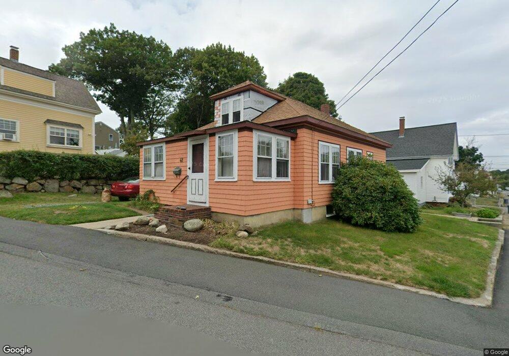
48 Grove St Gloucester, MA 01930
Central Gloucester NeighborhoodEstimated Value: $472,462 - $539,000
3
Beds
1
Bath
904
Sq Ft
$565/Sq Ft
Est. Value
About This Home
This home is located at 48 Grove St, Gloucester, MA 01930 and is currently estimated at $510,366, approximately $564 per square foot. 48 Grove St is a home located in Essex County with nearby schools including Plum Cove School, Ralph B O'maley Middle School, and Gloucester High School.
Ownership History
Date
Name
Owned For
Owner Type
Purchase Details
Closed on
Oct 8, 2004
Sold by
Hanrahan Helen E
Bought by
Russell Wayne S and Russell Linda C
Current Estimated Value
Home Financials for this Owner
Home Financials are based on the most recent Mortgage that was taken out on this home.
Original Mortgage
$266,950
Outstanding Balance
$132,827
Interest Rate
5.84%
Mortgage Type
Purchase Money Mortgage
Estimated Equity
$377,539
Create a Home Valuation Report for This Property
The Home Valuation Report is an in-depth analysis detailing your home's value as well as a comparison with similar homes in the area
Home Values in the Area
Average Home Value in this Area
Purchase History
| Date | Buyer | Sale Price | Title Company |
|---|---|---|---|
| Russell Wayne S | $281,000 | -- |
Source: Public Records
Mortgage History
| Date | Status | Borrower | Loan Amount |
|---|---|---|---|
| Open | Russell Wayne S | $266,950 |
Source: Public Records
Tax History
| Year | Tax Paid | Tax Assessment Tax Assessment Total Assessment is a certain percentage of the fair market value that is determined by local assessors to be the total taxable value of land and additions on the property. | Land | Improvement |
|---|---|---|---|---|
| 2025 | $3,582 | $368,500 | $140,800 | $227,700 |
| 2024 | $3,557 | $365,600 | $134,100 | $231,500 |
| 2023 | $3,245 | $306,400 | $119,700 | $186,700 |
| 2022 | $3,182 | $271,300 | $104,100 | $167,200 |
| 2021 | $3,137 | $252,200 | $94,700 | $157,500 |
| 2020 | $3,034 | $246,100 | $94,700 | $151,400 |
| 2019 | $2,962 | $233,400 | $94,700 | $138,700 |
| 2018 | $2,817 | $217,900 | $94,700 | $123,200 |
| 2017 | $2,738 | $207,600 | $90,100 | $117,500 |
| 2016 | $2,646 | $194,400 | $94,100 | $100,300 |
| 2015 | $2,544 | $186,400 | $94,100 | $92,300 |
Source: Public Records
Map
Nearby Homes
- 98 Maplewood Ave
- 6 Monroe Ct
- 8 Mystic Ave
- 9 Cleveland Place
- 3 Rockland St
- 12 Arthur St
- 40 Sargent St
- 120 Washington St
- 33 Maplewood Ave Unit 310
- 15 Harvard St
- 113 Pleasant St
- 50 Warner St
- 20 Beacon St
- 20 Beacon St Unit 2
- 20 Beacon St Unit 1
- 13 Leslie o Johnson Rd
- 35 Middle St Unit 4
- 33 Middle St
- 191 Main St Unit 3
- 191 Main St Unit 2A
Your Personal Tour Guide
Ask me questions while you tour the home.