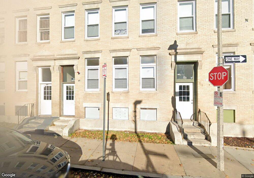
48 Harlem St Dorchester, MA 02121
Franklin Field North NeighborhoodEstimated Value: $905,000 - $1,132,000
6
Beds
3
Baths
3,458
Sq Ft
$285/Sq Ft
Est. Value
About This Home
This home is located at 48 Harlem St, Dorchester, MA 02121 and is currently estimated at $987,000, approximately $285 per square foot. 48 Harlem St is a home located in Suffolk County with nearby schools including Codman Academy Charter Public School and Mother Caroline Academy & Education Center.
Ownership History
Date
Name
Owned For
Owner Type
Purchase Details
Closed on
Aug 3, 2000
Sold by
Davis Clifford H
Bought by
Rodgers Kenroy A
Current Estimated Value
Purchase Details
Closed on
May 29, 1998
Sold by
Department Of Housing & Urban Dev
Bought by
David Clifford H
Purchase Details
Closed on
Apr 30, 1997
Sold by
Houston Clarence H and United Carolina Bk
Bought by
United Carolina Bk
Create a Home Valuation Report for This Property
The Home Valuation Report is an in-depth analysis detailing your home's value as well as a comparison with similar homes in the area
Home Values in the Area
Average Home Value in this Area
Purchase History
| Date | Buyer | Sale Price | Title Company |
|---|---|---|---|
| Rodgers Kenroy A | $170,000 | -- | |
| David Clifford H | $77,000 | -- | |
| United Carolina Bk | $102,341 | -- |
Source: Public Records
Mortgage History
| Date | Status | Borrower | Loan Amount |
|---|---|---|---|
| Open | United Carolina Bk | $398,895 | |
| Closed | United Carolina Bk | $393,820 |
Source: Public Records
Tax History Compared to Growth
Tax History
| Year | Tax Paid | Tax Assessment Tax Assessment Total Assessment is a certain percentage of the fair market value that is determined by local assessors to be the total taxable value of land and additions on the property. | Land | Improvement |
|---|---|---|---|---|
| 2025 | $10,862 | $938,000 | $222,400 | $715,600 |
| 2024 | $10,363 | $950,700 | $247,700 | $703,000 |
| 2023 | $9,279 | $864,000 | $225,100 | $638,900 |
| 2022 | $8,782 | $807,200 | $210,300 | $596,900 |
| 2021 | $7,974 | $747,300 | $194,700 | $552,600 |
| 2020 | $7,412 | $701,900 | $188,200 | $513,700 |
| 2019 | $6,723 | $637,900 | $128,000 | $509,900 |
| 2018 | $5,814 | $554,800 | $128,000 | $426,800 |
| 2017 | $5,815 | $549,100 | $128,000 | $421,100 |
| 2016 | $5,256 | $477,800 | $128,000 | $349,800 |
| 2015 | $4,708 | $388,800 | $89,200 | $299,600 |
| 2014 | $4,487 | $356,700 | $89,200 | $267,500 |
Source: Public Records
Map
Nearby Homes
- 64 Greenwood St
- 69 Greenwood St
- 74 Glenway St
- 40 Elmont St Unit 2
- 27 Bradshaw St
- 52 Mclellan St
- 408 Seaver St Unit 2
- 35 Bradshaw St
- 54 Bicknell St Unit 3
- 54 Bicknell St Unit 2
- 54 Bicknell St Unit 1
- 9-13 Hewins St
- 52 Bicknell St
- 21 Mclellan St
- 41 Charlotte St
- 15 Mclellan St
- 15 Ellington St
- 88 Esmond St
- 12 Spencer St
- 7-9 Esmond St
- 46 Harlem St
- 46 Harlem St
- 50 Harlem St Unit 3
- 50 Harlem St Unit 2
- 50 Harlem St Unit 1
- 50 Harlem St
- 44 Harlem St
- 44 Harlem St Unit 2
- 40 Harlem St
- 89 Fowler St Unit 91
- 36 Harlem St Unit 38
- 49 Greenwood St
- 42 Greenwood St
- 42 Greenwood St Unit 3
- 42 Greenwood St Unit 2
- 85 Fowler St Unit 87
- 89-91 Fowler St
- 46 Greenwood St
- 31 Greenwood St Unit 2
- 31 Greenwood St Unit 1