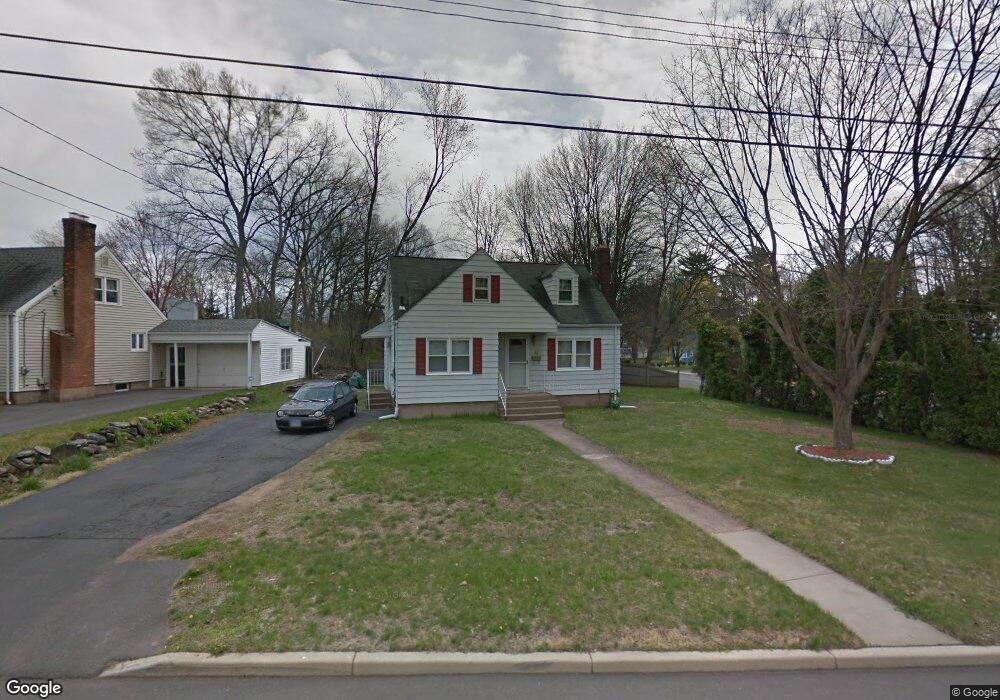
48 Hartland Rd Manchester, CT 06042
Waddell NeighborhoodEstimated Value: $263,000 - $296,190
3
Beds
2
Baths
1,306
Sq Ft
$216/Sq Ft
Est. Value
About This Home
This home is located at 48 Hartland Rd, Manchester, CT 06042 and is currently estimated at $281,798, approximately $215 per square foot. 48 Hartland Rd is a home located in Hartford County with nearby schools including Illing Middle School, Elisabeth M. Bennet Academy, and Manchester High School.
Ownership History
Date
Name
Owned For
Owner Type
Purchase Details
Closed on
Nov 6, 2009
Sold by
Us Bk
Bought by
Diaz Jose A
Current Estimated Value
Purchase Details
Closed on
Jun 27, 2003
Sold by
Maurer Cole S and Maurer Tonya G
Bought by
Vancleve Deborah A
Home Financials for this Owner
Home Financials are based on the most recent Mortgage that was taken out on this home.
Original Mortgage
$112,500
Interest Rate
8.4%
Purchase Details
Closed on
May 31, 1990
Sold by
Ross Norman G
Bought by
Maurer Cole S
Create a Home Valuation Report for This Property
The Home Valuation Report is an in-depth analysis detailing your home's value as well as a comparison with similar homes in the area
Home Values in the Area
Average Home Value in this Area
Purchase History
| Date | Buyer | Sale Price | Title Company |
|---|---|---|---|
| Diaz Jose A | $126,000 | -- | |
| Diaz Jose A | $126,000 | -- | |
| Vancleve Deborah A | $150,000 | -- | |
| Vancleve Deborah A | $150,000 | -- | |
| Maurer Cole S | $138,000 | -- |
Source: Public Records
Mortgage History
| Date | Status | Borrower | Loan Amount |
|---|---|---|---|
| Previous Owner | Maurer Cole S | $153,256 | |
| Previous Owner | Maurer Cole S | $112,500 |
Source: Public Records
Tax History Compared to Growth
Tax History
| Year | Tax Paid | Tax Assessment Tax Assessment Total Assessment is a certain percentage of the fair market value that is determined by local assessors to be the total taxable value of land and additions on the property. | Land | Improvement |
|---|---|---|---|---|
| 2025 | $5,320 | $133,600 | $38,400 | $95,200 |
| 2024 | $5,168 | $133,600 | $38,400 | $95,200 |
| 2023 | $4,970 | $133,600 | $38,400 | $95,200 |
| 2022 | $4,872 | $133,600 | $38,400 | $95,200 |
| 2021 | $3,747 | $102,600 | $32,900 | $69,700 |
| 2020 | $3,747 | $102,600 | $32,900 | $69,700 |
| 2019 | $3,747 | $102,600 | $32,900 | $69,700 |
| 2018 | $3,674 | $102,600 | $32,900 | $69,700 |
| 2017 | $3,576 | $102,600 | $32,900 | $69,700 |
| 2016 | $3,778 | $108,400 | $42,000 | $66,400 |
| 2015 | $3,759 | $108,400 | $42,000 | $66,400 |
| 2014 | $3,686 | $108,400 | $42,000 | $66,400 |
Source: Public Records
Map
Nearby Homes
- 41 Windemere St
- 63 Irving St
- 14 Evergreen Rd
- 424 Middle Turnpike W Unit 5
- 12 Butler Rd
- 186 Irving St
- 47 Crestwood Dr
- 149 Deepwood Dr
- 708 Hilliard St
- 113 Deepwood Dr
- 92 Westerly St
- 86 Westerly St
- 205 Homestead St Unit B2
- 80 Westerly St
- 74 Westerly St
- 108 Middle Turnpike W
- 28 Devon Dr
- 60 Deerfield Dr
- 9 Deepwood Dr
- 80 Hemlock St