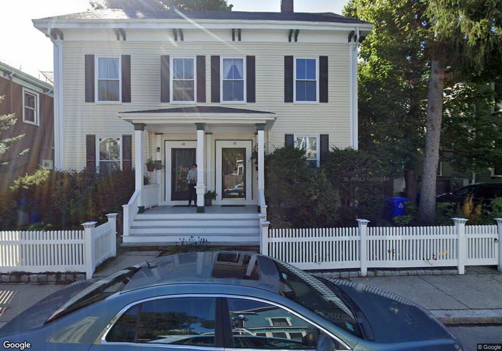
48 Holbrook St Jamaica Plain, MA 02130
Jamaica Plain NeighborhoodEstimated Value: $1,012,128 - $1,206,000
5
Beds
3
Baths
2,060
Sq Ft
$539/Sq Ft
Est. Value
About This Home
This home is located at 48 Holbrook St, Jamaica Plain, MA 02130 and is currently estimated at $1,109,532, approximately $538 per square foot. 48 Holbrook St is a home located in Suffolk County with nearby schools including The Croft School - Jamaica Plain and Meridian Academy.
Ownership History
Date
Name
Owned For
Owner Type
Purchase Details
Closed on
Aug 12, 1998
Sold by
Straub John E and Straub Mary E
Bought by
Hughes Michael D
Current Estimated Value
Home Financials for this Owner
Home Financials are based on the most recent Mortgage that was taken out on this home.
Original Mortgage
$179,000
Interest Rate
6.94%
Mortgage Type
Purchase Money Mortgage
Create a Home Valuation Report for This Property
The Home Valuation Report is an in-depth analysis detailing your home's value as well as a comparison with similar homes in the area
Home Values in the Area
Average Home Value in this Area
Purchase History
| Date | Buyer | Sale Price | Title Company |
|---|---|---|---|
| Hughes Michael D | $299,000 | -- |
Source: Public Records
Mortgage History
| Date | Status | Borrower | Loan Amount |
|---|---|---|---|
| Open | Hughes Michael D | $275,500 | |
| Closed | Hughes Michael D | $179,000 |
Source: Public Records
Tax History Compared to Growth
Tax History
| Year | Tax Paid | Tax Assessment Tax Assessment Total Assessment is a certain percentage of the fair market value that is determined by local assessors to be the total taxable value of land and additions on the property. | Land | Improvement |
|---|---|---|---|---|
| 2025 | $10,701 | $924,100 | $0 | $924,100 |
| 2024 | $9,193 | $843,400 | $0 | $843,400 |
| 2023 | $8,620 | $802,600 | $0 | $802,600 |
| 2022 | $8,239 | $757,300 | $0 | $757,300 |
| 2021 | $7,921 | $742,400 | $0 | $742,400 |
| 2020 | $7,660 | $725,400 | $0 | $725,400 |
| 2019 | $7,079 | $671,600 | $0 | $671,600 |
| 2018 | $6,901 | $658,500 | $0 | $658,500 |
| 2017 | $6,708 | $633,400 | $0 | $633,400 |
| 2016 | $6,573 | $597,500 | $0 | $597,500 |
| 2015 | $5,700 | $470,700 | $0 | $470,700 |
| 2014 | $5,432 | $431,800 | $0 | $431,800 |
Source: Public Records
Map
Nearby Homes
- 2 Brewer St
- 54 Arborway
- 29 Goldsmith St Unit 1
- 27-29 Ballard St
- 55 South St
- 55 South St Unit 3
- 15 Harris Ave
- 18 Atwood Square Unit 3
- 36 Alveston St
- 41 Jamaica St
- 584 Centre St
- 93 Sedgwick St
- 76 Elm St Unit G05
- 66 Seaverns Ave Unit 68B
- 96 Jamaica St
- 16 Mcbride St Unit 1
- 16 Mcbride St
- 45 Parley Ave
- 1000 Centre St Unit 4
- 10 Jamaicaway Ct Unit 25
- 46 Holbrook St
- 44 Holbrook St
- 50 Holbrook St
- 59 Dunster Rd Unit 2
- 59 Dunster Rd Unit 1
- 59 Dunster Rd
- 67 Dunster Rd
- 67 Dunster Rd Unit 67
- 12 Dane St Unit 12
- 12 Dane St
- 42 Holbrook St
- 47 Holbrook St
- 55 Dunster Rd
- 55 Dunster Rd Unit 1
- 45 Holbrook St
- 49 Holbrook St
- 49 Holbrook St Unit 2
- 43 Holbrook St
- 43 Holbrook St Unit 2
- 38 Holbrook St