48 Independence Way Unit D Marblehead, MA 01945
Estimated Value: $1,060,088 - $1,116,000
4
Beds
2
Baths
1,800
Sq Ft
$608/Sq Ft
Est. Value
About This Home
This home is located at 48 Independence Way Unit D, Marblehead, MA 01945 and is currently estimated at $1,094,772, approximately $608 per square foot. 48 Independence Way Unit D is a home located in Essex County with nearby schools including Marblehead High School, Marblehead Community Charter Public School, and Devereux School.
Ownership History
Date
Name
Owned For
Owner Type
Purchase Details
Closed on
May 6, 1998
Sold by
Plakans John and Plakans Shelley S
Bought by
Oconnor Michael J
Current Estimated Value
Home Financials for this Owner
Home Financials are based on the most recent Mortgage that was taken out on this home.
Original Mortgage
$275,200
Interest Rate
7.05%
Mortgage Type
Purchase Money Mortgage
Purchase Details
Closed on
Aug 8, 1990
Sold by
Houghton Ft Real Estat
Bought by
Plakans John
Create a Home Valuation Report for This Property
The Home Valuation Report is an in-depth analysis detailing your home's value as well as a comparison with similar homes in the area
Home Values in the Area
Average Home Value in this Area
Purchase History
| Date | Buyer | Sale Price | Title Company |
|---|---|---|---|
| Oconnor Michael J | $344,000 | -- | |
| Plakans John | $220,000 | -- |
Source: Public Records
Mortgage History
| Date | Status | Borrower | Loan Amount |
|---|---|---|---|
| Open | Plakans John | $425,000 | |
| Closed | Plakans John | $260,000 | |
| Closed | Plakans John | $275,200 | |
| Previous Owner | Plakans John | $35,000 |
Source: Public Records
Tax History
| Year | Tax Paid | Tax Assessment Tax Assessment Total Assessment is a certain percentage of the fair market value that is determined by local assessors to be the total taxable value of land and additions on the property. | Land | Improvement |
|---|---|---|---|---|
| 2025 | $8,853 | $978,200 | $0 | $978,200 |
| 2024 | $8,483 | $946,800 | $0 | $946,800 |
| 2023 | $8,701 | $870,100 | $0 | $870,100 |
| 2022 | $8,111 | $771,000 | $0 | $771,000 |
| 2021 | $7,472 | $717,100 | $0 | $717,100 |
| 2020 | $7,580 | $729,500 | $0 | $729,500 |
| 2019 | $7,269 | $676,800 | $0 | $676,800 |
| 2018 | $7,490 | $679,700 | $0 | $679,700 |
| 2017 | $6,966 | $632,700 | $0 | $632,700 |
| 2016 | $6,754 | $608,500 | $0 | $608,500 |
| 2015 | $6,237 | $562,900 | $0 | $562,900 |
| 2014 | $6,047 | $545,300 | $0 | $545,300 |
Source: Public Records
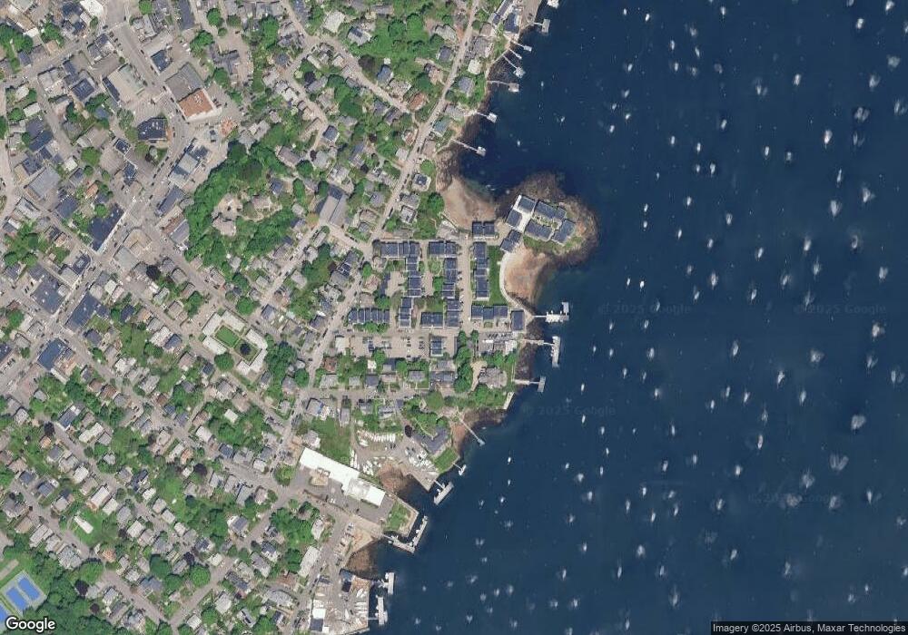
Map
Nearby Homes
- 55 Brackett Place Unit B
- 10 Redstone Ln
- 41 Atlantic Ave Unit 3
- 41 Atlantic Ave Unit 1
- 7 Lee St Unit 1
- 7 Cottage St
- 290 Washington St Unit A
- 26 Summer St Unit 1
- 9 Darling St
- 66 Pleasant St Unit 2
- 45 Pleasant St
- 132 Elm St
- 132 Elm St Unit 132
- 8 Linden St
- 23 Wyman Rd
- 7 Mechanic Ct
- 6 Mount Vernon St
- 3 Frost Ln Unit 1
- 59 Harbor Ave
- 63 Green St
- 48 Independence Way Unit C
- 48 Independence Way Unit B
- 48 Independence Way Unit A
- 48 Independence Way Unit 48A
- 48 Independence Way
- 48 Independence Way Unit 48C
- 48 Independence Way Unit 480 16
- 47 Independence Way Unit D
- 47 Independence Way Unit C
- 47 Independence Way Unit B
- 47 Independence Way Unit A
- 37 Wharf Path
- 18 Skinners Path
- 17 Skinners Path
- 20 Skinners Path
- 24 Skinners Path
- 23 Skinners Path
- 26 Skinners Path
- 14 Skinners Path
- 12 Skinners Path
Your Personal Tour Guide
Ask me questions while you tour the home.