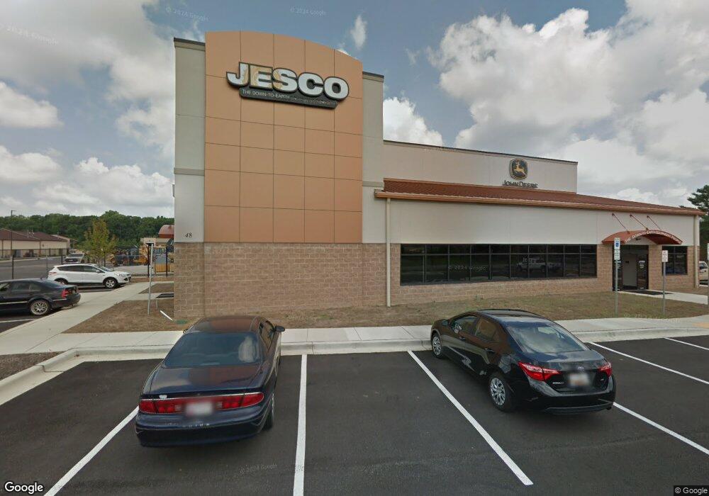
48 Industrial Park Dr Waldorf, MD 20602
--
Bed
--
Bath
17,607
Sq Ft
5.06
Acres
About This Home
This home is located at 48 Industrial Park Dr, Waldorf, MD 20602. 48 Industrial Park Dr is a home located in Charles County with nearby schools including Dr. Samuel A. Mudd Elementary School, John Hanson Middle School, and Thomas Stone High School.
Ownership History
Date
Name
Owned For
Owner Type
Purchase Details
Closed on
Aug 19, 2016
Sold by
Applewood Properties Llc
Bought by
Waldorf Industrial Park Drive Llc
Purchase Details
Closed on
Mar 2, 2007
Sold by
Park Circle Ii Limited Pratnership
Bought by
Applewood Properties Llc
Purchase Details
Closed on
Feb 26, 2007
Sold by
Park Circle Ii Limited Pratnership
Bought by
Applewood Properties Llc
Purchase Details
Closed on
Dec 6, 2005
Sold by
St Charles I Llc
Bought by
Park Circle Ii Limited Pratnership
Purchase Details
Closed on
Nov 6, 2003
Sold by
Park Circle Ii Ltd Partnership
Bought by
St Charles I Llc
Create a Home Valuation Report for This Property
The Home Valuation Report is an in-depth analysis detailing your home's value as well as a comparison with similar homes in the area
Home Values in the Area
Average Home Value in this Area
Purchase History
| Date | Buyer | Sale Price | Title Company |
|---|---|---|---|
| Waldorf Industrial Park Drive Llc | $600,000 | Attorney | |
| Applewood Properties Llc | $662,965 | -- | |
| Applewood Properties Llc | $662,965 | -- | |
| Park Circle Ii Limited Pratnership | $447,900 | -- | |
| St Charles I Llc | $450,000 | -- |
Source: Public Records
Tax History Compared to Growth
Tax History
| Year | Tax Paid | Tax Assessment Tax Assessment Total Assessment is a certain percentage of the fair market value that is determined by local assessors to be the total taxable value of land and additions on the property. | Land | Improvement |
|---|---|---|---|---|
| 2025 | -- | $2,512,633 | -- | -- |
| 2024 | $33,111 | $2,489,700 | $635,800 | $1,853,900 |
| 2023 | $35,578 | $2,489,700 | $635,800 | $1,853,900 |
| 2022 | $33,062 | $2,489,700 | $635,800 | $1,853,900 |
| 2021 | $35,070 | $2,640,500 | $635,800 | $2,004,700 |
| 2020 | $35,070 | $2,640,500 | $635,800 | $2,004,700 |
| 2019 | $36,695 | $2,762,167 | $0 | $0 |
| 2018 | $35,871 | $2,706,900 | $635,300 | $2,071,600 |
| 2017 | $6,701 | $508,200 | $0 | $0 |
| 2016 | -- | $508,200 | $0 | $0 |
| 2015 | $6,182 | $508,200 | $0 | $0 |
| 2014 | $6,182 | $508,200 | $0 | $0 |
Source: Public Records
Map
Nearby Homes
- 3298 Old Washington Rd
- 0 Smallwood Dr Unit MDCH2031694
- 302 Barksdale Ave
- 314 Rivermont Dr
- 801 Roxbury Ct
- 221 Brent Rd
- 717 Barrington Dr
- 110 Sherman Rd
- 1016 Stone Ave
- 3 Henry Ford Cir
- 0 Leonardtown Rd Unit MDCH2048068
- 3864 Kelly Green Place
- 139 Garner Ave
- 137 Garner Ave
- 3071 Donegal Ct
- 228 Garner Ave
- 3893 Light Arms Place
- 3081 Dorsey Ct
- 3809 Light Arms Place
- 3839 Kearnys Inn Place
- 49 Industrial Park Dr
- 52 Industrial Park Dr
- 52 Industrial Park Dr Unit 4
- 52 Industrial Park Dr Unit 8
- 52 Industrial Park Dr Unit 10
- 52 Industrial Park Dr Unit 9
- 52 Industrial Park Dr Unit 6
- 44 Industrial Park Dr
- 3 J P Morgan Ct
- 4 J P Morgan Ct
- 3 Jay Gould Ct
- 41 Industrial Park Dr Unit J
- 41 Industrial Park Dr Unit I
- 41 Industrial Park Dr Unit D
- 41 Industrial Park Dr Unit G
- 41 Industrial Park Dr Unit H
- 41 Industrial Park Dr Unit E
- 41 Industrial Park Dr
- 64 Industrial Park Dr
- 11271 Blooms Ln