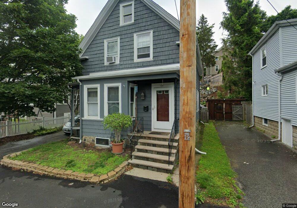
48 Jessie St Swampscott, MA 01907
Estimated Value: $609,000 - $685,000
3
Beds
2
Baths
1,216
Sq Ft
$520/Sq Ft
Est. Value
About This Home
This home is located at 48 Jessie St, Swampscott, MA 01907 and is currently estimated at $632,269, approximately $519 per square foot. 48 Jessie St is a home located in Essex County with nearby schools including Swampscott Middle School and Swampscott High School.
Ownership History
Date
Name
Owned For
Owner Type
Purchase Details
Closed on
Feb 10, 2010
Sold by
444 Saunders Avenue Rt
Bought by
Eddy Timothy J
Current Estimated Value
Home Financials for this Owner
Home Financials are based on the most recent Mortgage that was taken out on this home.
Original Mortgage
$268,055
Outstanding Balance
$178,204
Interest Rate
5.12%
Mortgage Type
Purchase Money Mortgage
Estimated Equity
$454,065
Purchase Details
Closed on
Dec 24, 2008
Sold by
Chavez Jennifer Smith and Chavez Robert F
Bought by
444 Saunders Avenue Rt
Purchase Details
Closed on
Aug 10, 2001
Sold by
Iudice Michael A and Iudice Cheryl A
Bought by
Chavez Robert F and Smith-Chavez Jennifer
Purchase Details
Closed on
Jul 17, 1991
Sold by
Donato Dandreo Est
Bought by
Iudice Michael A and Cheryl Iduice
Create a Home Valuation Report for This Property
The Home Valuation Report is an in-depth analysis detailing your home's value as well as a comparison with similar homes in the area
Home Values in the Area
Average Home Value in this Area
Purchase History
| Date | Buyer | Sale Price | Title Company |
|---|---|---|---|
| Eddy Timothy J | $273,000 | -- | |
| Eddy Timothy J | $273,000 | -- | |
| 444 Saunders Avenue Rt | $279,000 | -- | |
| 444 Saunders Avenue Rt | $279,000 | -- | |
| Chavez Robert F | $226,000 | -- | |
| Chavez Robert F | $226,000 | -- | |
| Iudice Michael A | $118,000 | -- | |
| Iudice Michael A | $118,000 | -- |
Source: Public Records
Mortgage History
| Date | Status | Borrower | Loan Amount |
|---|---|---|---|
| Open | Iudice Michael A | $268,055 | |
| Closed | Iudice Michael A | $268,055 |
Source: Public Records
Tax History Compared to Growth
Tax History
| Year | Tax Paid | Tax Assessment Tax Assessment Total Assessment is a certain percentage of the fair market value that is determined by local assessors to be the total taxable value of land and additions on the property. | Land | Improvement |
|---|---|---|---|---|
| 2025 | $6,424 | $560,100 | $208,600 | $351,500 |
| 2024 | $6,271 | $545,800 | $198,600 | $347,200 |
| 2023 | $5,890 | $501,700 | $183,900 | $317,800 |
| 2022 | $5,557 | $433,100 | $161,800 | $271,300 |
| 2021 | $5,390 | $390,600 | $125,100 | $265,500 |
| 2020 | $5,424 | $379,300 | $117,700 | $261,600 |
| 2019 | $5,542 | $364,600 | $103,000 | $261,600 |
| 2018 | $5,523 | $345,200 | $103,000 | $242,200 |
| 2017 | $5,430 | $311,200 | $88,300 | $222,900 |
| 2016 | $5,074 | $292,800 | $69,900 | $222,900 |
| 2015 | $5,022 | $292,800 | $69,900 | $222,900 |
| 2014 | $4,531 | $242,300 | $50,000 | $192,300 |
Source: Public Records
Map
Nearby Homes
- 100 Burpee Rd
- 44 Cherry St Unit 2
- 29-31 Essex Ave Unit 2
- 59 Essex St Unit 59B
- 106 Norfolk Ave
- 80 Norfolk Ave Unit 1
- 76 Stetson Ave
- 189 Burrill St Unit 2
- 9 Sampson Ave
- 25 E Park Ave
- 35 Columbia Ave
- 51 Barnstable St
- 133 Eastern Ave Unit 8
- 44 Valley Rd
- 98 Paradise Rd
- 30 Paradise Rd
- 31 Madison St
- 26 Groveland St
- 30 Clifton Ave
- 108-110 Burrill St Unit 1