48 King Rd Somers, CT 06071
Estimated Value: $406,000 - $480,000
3
Beds
3
Baths
1,464
Sq Ft
$294/Sq Ft
Est. Value
About This Home
This home is located at 48 King Rd, Somers, CT 06071 and is currently estimated at $430,625, approximately $294 per square foot. 48 King Rd is a home located in Tolland County with nearby schools including Somers Elementary School, Mabelle B. Avery Middle School, and Somers High School.
Ownership History
Date
Name
Owned For
Owner Type
Purchase Details
Closed on
Mar 5, 2012
Sold by
Kukucka Andrew C
Bought by
Kukucka Andrew C and Majowicz Angela G
Current Estimated Value
Create a Home Valuation Report for This Property
The Home Valuation Report is an in-depth analysis detailing your home's value as well as a comparison with similar homes in the area
Home Values in the Area
Average Home Value in this Area
Purchase History
| Date | Buyer | Sale Price | Title Company |
|---|---|---|---|
| Kukucka Andrew C | -- | -- | |
| Kukucka Andrew C | -- | -- |
Source: Public Records
Mortgage History
| Date | Status | Borrower | Loan Amount |
|---|---|---|---|
| Previous Owner | Kukucka Andrew C | $49,500 | |
| Previous Owner | Kukucka Andrew C | $5,000 |
Source: Public Records
Tax History
| Year | Tax Paid | Tax Assessment Tax Assessment Total Assessment is a certain percentage of the fair market value that is determined by local assessors to be the total taxable value of land and additions on the property. | Land | Improvement |
|---|---|---|---|---|
| 2025 | $5,245 | $173,610 | $69,510 | $104,100 |
| 2024 | $5,028 | $173,610 | $69,510 | $104,100 |
| 2023 | $4,915 | $173,610 | $69,510 | $104,100 |
| 2022 | $4,785 | $173,610 | $69,510 | $104,100 |
| 2021 | $4,628 | $173,610 | $69,510 | $104,100 |
| 2020 | $4,989 | $182,290 | $70,790 | $111,500 |
| 2019 | $4,759 | $173,890 | $76,890 | $97,000 |
| 2018 | $4,759 | $173,890 | $76,890 | $97,000 |
| 2017 | $4,386 | $172,220 | $75,220 | $97,000 |
| 2016 | $4,171 | $172,220 | $75,220 | $97,000 |
| 2015 | $4,381 | $187,480 | $81,080 | $106,400 |
| 2014 | $4,381 | $187,480 | $81,080 | $106,400 |
Source: Public Records
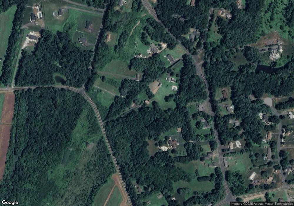
Map
Nearby Homes
- 11 King Rd
- 42 Schneider Rd
- 200 Hampden Rd
- 175 Stafford Rd
- 64 Somerset Ln
- 369 Turnpike Rd
- 169 Stafford Rd
- 5 Cantlewood Dr
- 56 Brittany Ln
- 557 Hall Hill Rd
- 41 Martin Farms Rd
- 603 Hall Hill Rd
- 659 Hall Hill Rd
- 142 Turnpike Rd
- 969 Main St
- 8 S Ridge Rd
- 139 Hall Hill Rd
- 79 Favorite Ln
- 241 Hampden Rd
- Lot D South Rd
- 4 Bradley Rd
- 18 Bradley Rd
- 529 Springfield Rd
- 543 Springfield Rd
- 501 Springfield Rd
- 60 King Rd
- 553 Springfield Rd
- 509 Springfield Rd
- 522 Springfield Rd
- 514 Springfield Rd
- 7 Hampden Rd
- 552 Springfield Rd
- 21 Bradley Rd
- 12 Hampden Rd
- 28 Bradley Rd
- 24 King Rd
- 502 Springfield Rd
- 560 Springfield Rd
- 510 Springfield Rd
- 31 Bradley Rd
Your Personal Tour Guide
Ask me questions while you tour the home.