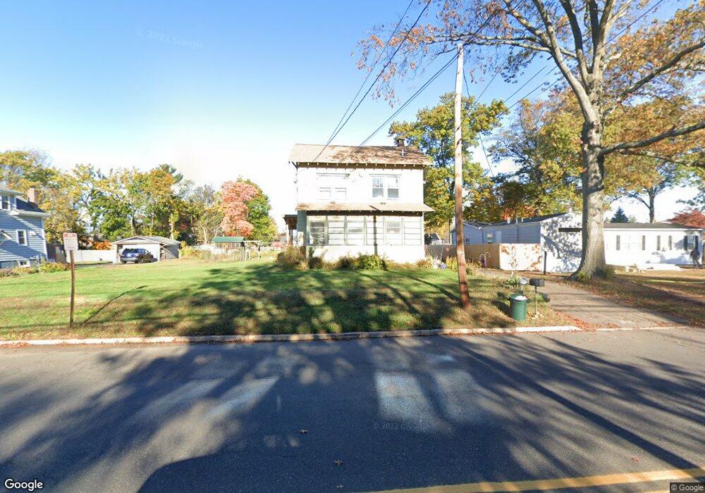
48 Leonard Ave Trenton, NJ 08610
Estimated Value: $350,000 - $477,000
--
Bed
--
Bath
1,998
Sq Ft
$218/Sq Ft
Est. Value
About This Home
This home is located at 48 Leonard Ave, Trenton, NJ 08610 and is currently estimated at $435,901, approximately $218 per square foot. 48 Leonard Ave is a home located in Mercer County with nearby schools including Kuser Elementary School, Emily C. Reynolds Middle School, and Steinert - Hamilton High East.
Ownership History
Date
Name
Owned For
Owner Type
Purchase Details
Closed on
Oct 6, 2005
Sold by
Stein Ethel
Bought by
Arcamone John and Mahon Sherry
Current Estimated Value
Home Financials for this Owner
Home Financials are based on the most recent Mortgage that was taken out on this home.
Original Mortgage
$207,840
Interest Rate
6.26%
Mortgage Type
Purchase Money Mortgage
Create a Home Valuation Report for This Property
The Home Valuation Report is an in-depth analysis detailing your home's value as well as a comparison with similar homes in the area
Home Values in the Area
Average Home Value in this Area
Purchase History
| Date | Buyer | Sale Price | Title Company |
|---|---|---|---|
| Arcamone John | $259,800 | -- |
Source: Public Records
Mortgage History
| Date | Status | Borrower | Loan Amount |
|---|---|---|---|
| Previous Owner | Arcamone John | $207,840 |
Source: Public Records
Tax History Compared to Growth
Tax History
| Year | Tax Paid | Tax Assessment Tax Assessment Total Assessment is a certain percentage of the fair market value that is determined by local assessors to be the total taxable value of land and additions on the property. | Land | Improvement |
|---|---|---|---|---|
| 2025 | $7,499 | $212,800 | $55,900 | $156,900 |
| 2024 | $7,029 | $212,800 | $55,900 | $156,900 |
| 2023 | $7,029 | $212,800 | $55,900 | $156,900 |
| 2022 | $6,918 | $212,800 | $55,900 | $156,900 |
| 2021 | $7,944 | $212,800 | $55,900 | $156,900 |
| 2020 | $7,178 | $212,800 | $55,900 | $156,900 |
| 2019 | $6,990 | $212,800 | $55,900 | $156,900 |
| 2018 | $6,912 | $212,800 | $55,900 | $156,900 |
| 2017 | $6,559 | $212,800 | $55,900 | $156,900 |
| 2016 | $5,857 | $216,600 | $59,700 | $156,900 |
| 2015 | $6,730 | $138,500 | $39,600 | $98,900 |
| 2014 | $6,622 | $138,500 | $39,600 | $98,900 |
Source: Public Records
Map
Nearby Homes
- 144 Beal St
- 125 Edwin Ave
- 51 Charlotte Ave
- 20 Charlotte Ave
- 1427 Hamilton Ave
- 235 Darcy Ave
- 657 S Olden Ave
- 618 Atlantic Ave
- 61 Leuckel Ave
- 631 S Olden Ave
- 541 Emmett Ave
- 1524 Elizabeth Ave
- 1114 Park Ave
- 480 S Logan Ave
- 42 Bismarck Ave
- 20 Leuckel Ave
- 445 Tindall Ave
- 26 Bismarck Ave
- 25 Brook Ln
- 26 Benson Ave
- 36 Leonard Ave
- 60 Leonard Ave
- 0 Leonard Ave
- 24 Leonard Ave
- 70 Leonard Ave
- 345 Miller Ave
- 347 Miller Ave
- 354 Newkirk Ave
- 84 Leonard Ave
- 315 Miller Ave
- 334 Newkirk Ave
- 333 Miller Ave
- 344 Newkirk Ave
- 330 Newkirk Ave
- 324 Newkirk Ave
- 355 Miller Ave
- 314 Newkirk Ave
- 306 Newkirk Ave
- 373 Miller Ave
- 98 Leonard Ave