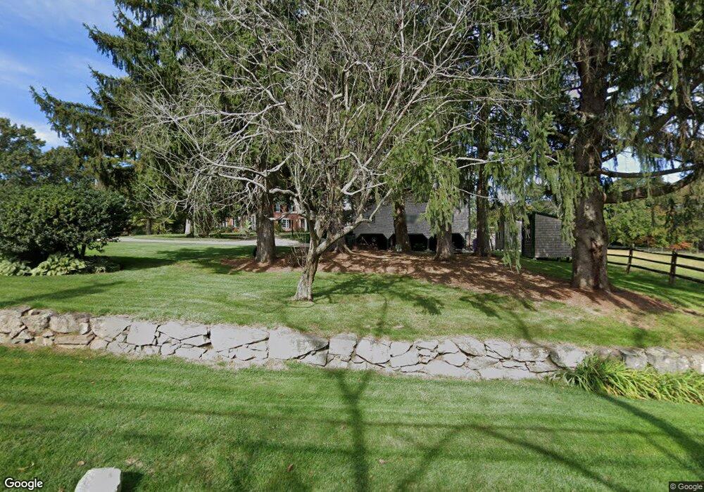
48 Lincoln Rd Unit A Wayland, MA 01778
Estimated Value: $1,791,000 - $2,071,000
4
Beds
5
Baths
4,420
Sq Ft
$450/Sq Ft
Est. Value
About This Home
This home is located at 48 Lincoln Rd Unit A, Wayland, MA 01778 and is currently estimated at $1,988,179, approximately $449 per square foot. 48 Lincoln Rd Unit A is a home located in Middlesex County with nearby schools including Wayland High School.
Ownership History
Date
Name
Owned For
Owner Type
Purchase Details
Closed on
Jul 27, 2001
Sold by
William H Catlin Rt and Catlin
Bought by
Catlin William H
Current Estimated Value
Home Financials for this Owner
Home Financials are based on the most recent Mortgage that was taken out on this home.
Original Mortgage
$810,000
Outstanding Balance
$316,653
Interest Rate
7.18%
Mortgage Type
Purchase Money Mortgage
Estimated Equity
$1,671,526
Create a Home Valuation Report for This Property
The Home Valuation Report is an in-depth analysis detailing your home's value as well as a comparison with similar homes in the area
Home Values in the Area
Average Home Value in this Area
Purchase History
| Date | Buyer | Sale Price | Title Company |
|---|---|---|---|
| Catlin William H | $90,000 | -- |
Source: Public Records
Mortgage History
| Date | Status | Borrower | Loan Amount |
|---|---|---|---|
| Open | Catlin William H | $810,000 | |
| Previous Owner | Catlin William H | $300,000 |
Source: Public Records
Tax History Compared to Growth
Tax History
| Year | Tax Paid | Tax Assessment Tax Assessment Total Assessment is a certain percentage of the fair market value that is determined by local assessors to be the total taxable value of land and additions on the property. | Land | Improvement |
|---|---|---|---|---|
| 2025 | $26,376 | $1,687,500 | $700,700 | $986,800 |
| 2024 | $25,020 | $1,612,100 | $667,300 | $944,800 |
| 2023 | $23,513 | $1,412,200 | $607,200 | $805,000 |
| 2022 | $23,539 | $1,282,800 | $517,300 | $765,500 |
| 2021 | $23,052 | $1,244,700 | $479,200 | $765,500 |
| 2020 | $22,106 | $1,244,700 | $479,200 | $765,500 |
| 2019 | $21,276 | $1,163,900 | $456,800 | $707,100 |
| 2018 | $20,922 | $1,160,400 | $475,500 | $684,900 |
| 2017 | $20,275 | $1,117,700 | $452,500 | $665,200 |
| 2016 | $19,098 | $1,101,400 | $460,900 | $640,500 |
| 2015 | $19,766 | $1,074,800 | $460,900 | $613,900 |
Source: Public Records
Map
Nearby Homes
- 15 Lewis Path
- 93 Old Sudbury Rd
- 244 Lincoln Rd
- 24 Claypit Hill Rd
- 121 Cherry Brook Rd
- 134 Chestnut Cir
- 152 S Great Rd
- 192 Concord Rd
- 50 Windingwood Ln
- 3 Clifford Ln
- 49 Birchwood Ln Unit 49
- 6 Clifford Ln
- 17 Glezen Ln
- 1 Aberdeen Rd
- 130 Tower Rd
- 14 Lundy Ln
- 31 White Rd
- 156 Boston Post Rd
- 10 Hayward Rd
- 5 Peakes Ln
- 48 Lincoln Rd
- 34 Lincoln Rd
- 69 Lincoln Rd
- 59A Lincoln Rd
- 59 Lincoln Rd
- 59 Lincoln Rd Unit A
- 20 Lincoln Rd
- 229 Concord Rd
- 16 Ellie Ln
- 231 Concord Rd-Earlybirdla
- 79 Lincoln Rd
- 231 Concord Rd
- 21 Lincoln Rd
- 12 Ellie Ln
- 7 Hazelbrook Ln
- 225 Concord Rd
- 12 Lincoln Rd
- 75 Lincoln Rd
- 17 Hazelbrook Ln
- 21 Hazelbrook Ln