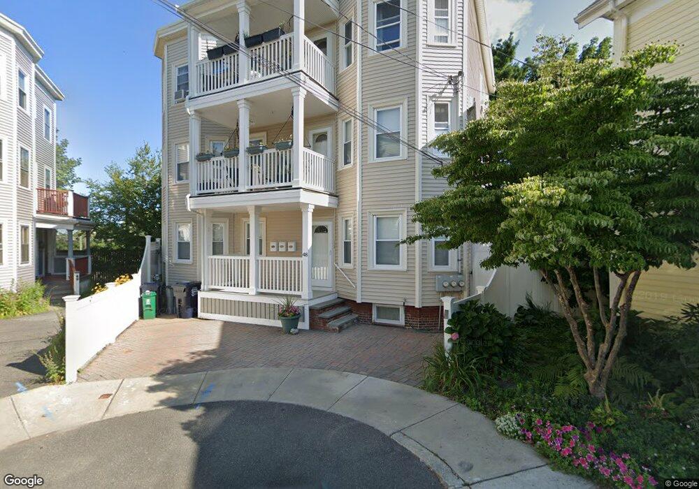
48 Locke St Unit 1 Cambridge, MA 02140
North Cambridge NeighborhoodEstimated Value: $507,000 - $946,000
1
Bed
1
Bath
980
Sq Ft
$724/Sq Ft
Est. Value
About This Home
This home is located at 48 Locke St Unit 1, Cambridge, MA 02140 and is currently estimated at $709,570, approximately $724 per square foot. 48 Locke St Unit 1 is a home located in Middlesex County with nearby schools including Benjamin Banneker Charter Public School, Cambridge Friends School, and International School of Boston.
Ownership History
Date
Name
Owned For
Owner Type
Purchase Details
Closed on
Jun 11, 2004
Sold by
48 Locke Street Rt
Bought by
Cotter Ann Marie
Current Estimated Value
Home Financials for this Owner
Home Financials are based on the most recent Mortgage that was taken out on this home.
Original Mortgage
$100,000
Outstanding Balance
$48,851
Interest Rate
5.99%
Mortgage Type
Purchase Money Mortgage
Estimated Equity
$660,719
Create a Home Valuation Report for This Property
The Home Valuation Report is an in-depth analysis detailing your home's value as well as a comparison with similar homes in the area
Home Values in the Area
Average Home Value in this Area
Purchase History
| Date | Buyer | Sale Price | Title Company |
|---|---|---|---|
| Cotter Ann Marie | $250,000 | -- |
Source: Public Records
Mortgage History
| Date | Status | Borrower | Loan Amount |
|---|---|---|---|
| Open | Cotter Ann Marie | $100,000 |
Source: Public Records
Tax History
| Year | Tax Paid | Tax Assessment Tax Assessment Total Assessment is a certain percentage of the fair market value that is determined by local assessors to be the total taxable value of land and additions on the property. | Land | Improvement |
|---|---|---|---|---|
| 2025 | $3,994 | $628,900 | $0 | $628,900 |
| 2024 | $3,719 | $628,200 | $0 | $628,200 |
| 2023 | $3,535 | $603,200 | $0 | $603,200 |
| 2022 | $3,521 | $594,700 | $0 | $594,700 |
| 2021 | $3,446 | $589,100 | $0 | $589,100 |
| 2020 | $3,275 | $569,500 | $0 | $569,500 |
| 2019 | $3,206 | $539,800 | $0 | $539,800 |
| 2018 | $3,112 | $494,700 | $0 | $494,700 |
| 2017 | $3,039 | $468,300 | $0 | $468,300 |
| 2016 | $2,983 | $426,700 | $0 | $426,700 |
| 2015 | $2,949 | $377,100 | $0 | $377,100 |
| 2014 | $2,899 | $346,000 | $0 | $346,000 |
Source: Public Records
Map
Nearby Homes
- 11 Tannery Brook Row Unit 3
- 3 Tannery Brook Row Unit 11
- 2353 Massachusetts Ave Unit 44
- 2353 Massachusetts Ave Unit 93
- 7A Meacham Rd Unit 7A
- 34 Elmwood St Unit 2
- 2 Gold Star Ct
- 97 Elmwood St Unit 313
- 97 Elmwood St Unit 110
- 97 Elmwood St Unit 310
- 69 Harvey St Unit 1
- 9-11 Edmunds St
- 126 Harvey St Unit 2
- 127 Harvey St
- 38 Brookford St Unit 2
- 30 Clarendon Ave
- 108 Clay St
- 1004 Broadway Unit 3
- 3 Warwick Park Unit 2
- 43 Grove St
- 48 Locke St Unit 3
- 48 Locke St Unit 2
- 46 Locke St Unit 2
- 51 Locke St
- 44 Locke St
- 44 Locke St Unit 44 44
- 42 Locke St
- 4B Elmwood Ter Vr 538k-- Unit B
- 45 Locke St
- 45 Locke St Unit 3
- 45 Locke St Unit 1
- 45 Locke St
- 45 Locke St Unit 2
- 41 Locke St
- 43 Locke St
- 88 Elmwood Ave Unit 16
- 40 Locke St
- 41 Shea Rd Unit 41
- 35 Shea Rd
- 45 Shea Rd Unit 2
Your Personal Tour Guide
Ask me questions while you tour the home.