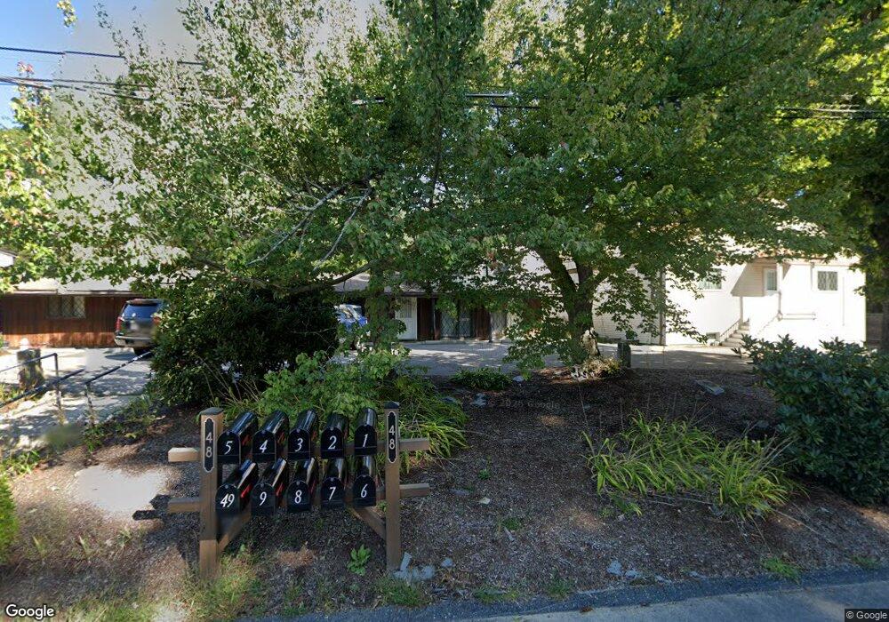
48 Lovering St Unit 1 Medway, MA 02053
Estimated Value: $312,475 - $538,000
3
Beds
2
Baths
1,530
Sq Ft
$294/Sq Ft
Est. Value
About This Home
This home is located at 48 Lovering St Unit 1, Medway, MA 02053 and is currently estimated at $449,869, approximately $294 per square foot. 48 Lovering St Unit 1 is a home located in Norfolk County with nearby schools including John D. McGovern Elementary School, Burke-Memorial Elementary, and Medway Middle School.
Ownership History
Date
Name
Owned For
Owner Type
Purchase Details
Closed on
Mar 7, 2005
Sold by
Gervais Philippe C
Bought by
Gervais Barbara and Gervais Philippe C
Current Estimated Value
Home Financials for this Owner
Home Financials are based on the most recent Mortgage that was taken out on this home.
Original Mortgage
$25,000
Outstanding Balance
$12,716
Interest Rate
5.66%
Mortgage Type
Purchase Money Mortgage
Estimated Equity
$437,153
Purchase Details
Closed on
Dec 23, 1998
Sold by
Wilkie Barbara D
Bought by
Gervais Philippe C
Home Financials for this Owner
Home Financials are based on the most recent Mortgage that was taken out on this home.
Original Mortgage
$110,950
Interest Rate
6.89%
Mortgage Type
Purchase Money Mortgage
Purchase Details
Closed on
May 15, 1998
Sold by
French Faye S
Bought by
Wilkie Barbara D
Create a Home Valuation Report for This Property
The Home Valuation Report is an in-depth analysis detailing your home's value as well as a comparison with similar homes in the area
Home Values in the Area
Average Home Value in this Area
Purchase History
| Date | Buyer | Sale Price | Title Company |
|---|---|---|---|
| Gervais Barbara | -- | -- | |
| Gervais Philippe C | $115,000 | -- | |
| Wilkie Barbara D | $117,000 | -- |
Source: Public Records
Mortgage History
| Date | Status | Borrower | Loan Amount |
|---|---|---|---|
| Open | Gervais Barbara | $25,000 | |
| Previous Owner | Wilkie Barbara D | $110,950 | |
| Previous Owner | Wilkie Barbara D | $12,000 |
Source: Public Records
Tax History Compared to Growth
Tax History
| Year | Tax Paid | Tax Assessment Tax Assessment Total Assessment is a certain percentage of the fair market value that is determined by local assessors to be the total taxable value of land and additions on the property. | Land | Improvement |
|---|---|---|---|---|
| 2025 | $2,867 | $201,200 | $0 | $201,200 |
| 2024 | $2,897 | $201,200 | $0 | $201,200 |
| 2023 | $3,174 | $199,100 | $0 | $199,100 |
| 2022 | $3,296 | $194,700 | $0 | $194,700 |
| 2021 | $3,241 | $185,600 | $0 | $185,600 |
| 2020 | $3,248 | $185,600 | $0 | $185,600 |
| 2019 | $3,089 | $182,000 | $0 | $182,000 |
| 2018 | $3,214 | $182,000 | $0 | $182,000 |
| 2017 | $3,261 | $182,000 | $0 | $182,000 |
| 2016 | $3,296 | $182,000 | $0 | $182,000 |
| 2015 | $2,488 | $136,400 | $0 | $136,400 |
| 2014 | $2,866 | $152,100 | $0 | $152,100 |
Source: Public Records
Map
Nearby Homes
- 14 Heritage Dr
- 36 Lovering St
- 12 Lovering St
- 22 Sunset Dr
- 106 Holliston St
- 3 Meryl St
- 19 Sycamore Way Unit L40
- 50 Main St
- 176 Main St Unit 3
- 1 Walnut Ln
- 30 Broken Tree Rd
- 28 Wellington St
- 116 Winthrop St
- 280 Village St Unit D2
- 12 Longmeadow Ln
- 4 Shaw St
- 5 Fales St
- 220 Main St Unit 220
- 6 Freedom Trail
- 7 Hill St
- 48 Lovering St Unit 9
- 48 Lovering St Unit 8
- 48 Lovering St Unit 7
- 48 Lovering St Unit 6
- 48 Lovering St Unit 5
- 48 Lovering St Unit 4
- 48 Lovering St Unit 3
- 48 Lovering St Unit 2
- 46 Lovering St
- 50 Lovering St
- 1 Memory Ln
- 49 Lovering St
- 2 Memory Ln
- 51 Lovering St
- 3 Heritage Dr
- 2 Heritage Dr
- 1 Heritage Dr
- 52 Lovering St
- 3 Memory Ln
- 43 Lovering St