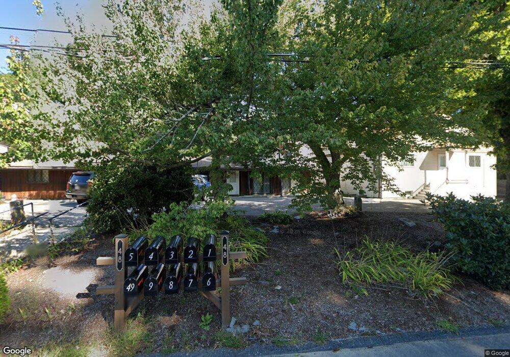
48 Lovering St Unit 2 Medway, MA 02053
Estimated Value: $288,951 - $397,000
2
Beds
1
Bath
828
Sq Ft
$408/Sq Ft
Est. Value
About This Home
This home is located at 48 Lovering St Unit 2, Medway, MA 02053 and is currently estimated at $337,988, approximately $408 per square foot. 48 Lovering St Unit 2 is a home located in Norfolk County with nearby schools including John D. McGovern Elementary School, Burke-Memorial Elementary, and Medway Middle School.
Ownership History
Date
Name
Owned For
Owner Type
Purchase Details
Closed on
Oct 1, 2002
Sold by
Power Robert S
Bought by
Keough East Dennis Rt
Current Estimated Value
Purchase Details
Closed on
Nov 8, 1989
Sold by
Power Robert S
Bought by
Power Robert S
Home Financials for this Owner
Home Financials are based on the most recent Mortgage that was taken out on this home.
Original Mortgage
$75,000
Interest Rate
10.03%
Mortgage Type
Purchase Money Mortgage
Create a Home Valuation Report for This Property
The Home Valuation Report is an in-depth analysis detailing your home's value as well as a comparison with similar homes in the area
Home Values in the Area
Average Home Value in this Area
Purchase History
| Date | Buyer | Sale Price | Title Company |
|---|---|---|---|
| Keough East Dennis Rt | $133,000 | -- | |
| Power Robert S | $99,900 | -- |
Source: Public Records
Mortgage History
| Date | Status | Borrower | Loan Amount |
|---|---|---|---|
| Previous Owner | Power Robert S | $71,400 | |
| Previous Owner | Power Robert S | $75,000 |
Source: Public Records
Tax History Compared to Growth
Tax History
| Year | Tax Paid | Tax Assessment Tax Assessment Total Assessment is a certain percentage of the fair market value that is determined by local assessors to be the total taxable value of land and additions on the property. | Land | Improvement |
|---|---|---|---|---|
| 2025 | $1,939 | $136,100 | $0 | $136,100 |
| 2024 | $1,960 | $136,100 | $0 | $136,100 |
| 2023 | $2,144 | $134,500 | $0 | $134,500 |
| 2022 | $2,140 | $126,400 | $0 | $126,400 |
| 2021 | $2,053 | $117,600 | $0 | $117,600 |
| 2020 | $2,058 | $117,600 | $0 | $117,600 |
| 2019 | $1,957 | $115,300 | $0 | $115,300 |
| 2018 | $2,036 | $115,300 | $0 | $115,300 |
| 2017 | $2,066 | $115,300 | $0 | $115,300 |
| 2016 | $2,088 | $115,300 | $0 | $115,300 |
| 2015 | $1,877 | $102,900 | $0 | $102,900 |
| 2014 | $1,927 | $102,300 | $0 | $102,300 |
Source: Public Records
Map
Nearby Homes
- 14 Heritage Dr
- 36 Lovering St
- 12 Lovering St
- 22 Sunset Dr
- 106 Holliston St
- 3 Meryl St
- 19 Sycamore Way Unit L40
- 50 Main St
- 176 Main St Unit 3
- 1 Walnut Ln
- 30 Broken Tree Rd
- 28 Wellington St
- 116 Winthrop St
- 280 Village St Unit D2
- 12 Longmeadow Ln
- 4 Shaw St
- 5 Fales St
- 220 Main St Unit 220
- 6 Freedom Trail
- 7 Hill St
- 48 Lovering St Unit 9
- 48 Lovering St Unit 8
- 48 Lovering St Unit 7
- 48 Lovering St Unit 6
- 48 Lovering St Unit 5
- 48 Lovering St Unit 4
- 48 Lovering St Unit 3
- 48 Lovering St Unit 1
- 46 Lovering St
- 50 Lovering St
- 1 Memory Ln
- 49 Lovering St
- 2 Memory Ln
- 51 Lovering St
- 3 Heritage Dr
- 2 Heritage Dr
- 1 Heritage Dr
- 52 Lovering St
- 3 Memory Ln
- 43 Lovering St