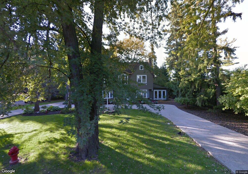
48 Manor Rd Bloomfield Hills, MI 48304
Estimated Value: $1,244,000 - $1,836,000
4
Beds
5
Baths
3,651
Sq Ft
$387/Sq Ft
Est. Value
About This Home
This home is located at 48 Manor Rd, Bloomfield Hills, MI 48304 and is currently estimated at $1,412,840, approximately $386 per square foot. 48 Manor Rd is a home located in Oakland County with nearby schools including Harlan Elementary School, Ernest W. Seaholm High School, and Holy Name School.
Ownership History
Date
Name
Owned For
Owner Type
Purchase Details
Closed on
Nov 21, 2008
Sold by
The Jonen Family Living Trust
Bought by
Pesta Carl and Anderson Pesta Lori
Current Estimated Value
Purchase Details
Closed on
Jul 15, 1998
Sold by
Jonen Ulrich J
Bought by
Jonen Trust
Create a Home Valuation Report for This Property
The Home Valuation Report is an in-depth analysis detailing your home's value as well as a comparison with similar homes in the area
Home Values in the Area
Average Home Value in this Area
Purchase History
| Date | Buyer | Sale Price | Title Company |
|---|---|---|---|
| Pesta Carl | -- | Interstate Title Inc | |
| Jonen Trust | -- | -- |
Source: Public Records
Tax History Compared to Growth
Tax History
| Year | Tax Paid | Tax Assessment Tax Assessment Total Assessment is a certain percentage of the fair market value that is determined by local assessors to be the total taxable value of land and additions on the property. | Land | Improvement |
|---|---|---|---|---|
| 2024 | $5,568 | $460,580 | $0 | $0 |
| 2023 | $5,343 | $440,340 | $0 | $0 |
| 2022 | $9,045 | $405,230 | $0 | $0 |
| 2021 | $9,120 | $360,210 | $0 | $0 |
| 2020 | $5,133 | $353,130 | $0 | $0 |
| 2019 | $9,106 | $353,180 | $0 | $0 |
| 2018 | $9,037 | $325,390 | $0 | $0 |
| 2017 | $9,085 | $312,840 | $0 | $0 |
| 2016 | $9,081 | $297,820 | $0 | $0 |
| 2015 | -- | $239,960 | $0 | $0 |
| 2014 | -- | $211,700 | $0 | $0 |
| 2011 | -- | $205,700 | $0 | $0 |
Source: Public Records
Map
Nearby Homes
- 5554 Pine Brooke Ct
- 1111 N Old Woodward Ave Unit 4
- 1111 N Old Woodward Ave Unit 26
- 1115 N Old Woodward #76 Ave
- 1115 N Old Woodward Ave Unit 52
- 1115 N Old Woodward Ave Unit 61
- 1295 Lakeside Dr
- 1551 Lakeside Dr
- 1030 Lakeside Dr
- 667 Oak Ave
- 750 Hazelwood St
- 1330 Oxford Rd
- 0000 Brookdale Rd
- 549 N Old Woodward Ave
- 1537 Ashford Ln
- 654 Shepardbush St
- 680 Shepardbush St
- 485 Harmon St
- 1056 Pilgrim Ave
- 592 Lakeside Dr
- 58 Manor Rd
- 38 Manor Rd
- 55 Manor Rd
- 75 Manor Rd
- 70 Manor Rd
- 81 Manor Rd
- 86 Manor Rd
- 92 Manor Ct
- 85 Manor Rd
- 36700 Woodward Avenu Liberty Dr
- 5540 Pine Brooke Ct Unit 15
- 5548 Pine Brooke Ct
- 36700 Woodward Avenu Rockcrest Ln
- 45 Judy Ln
- 5560 Pine Brooke Ct
- 59 Judy Ln
- 95 Manor Rd
- 5534 Pine Brooke Ct
- 98 Manor Rd
- 96 Manor Ct