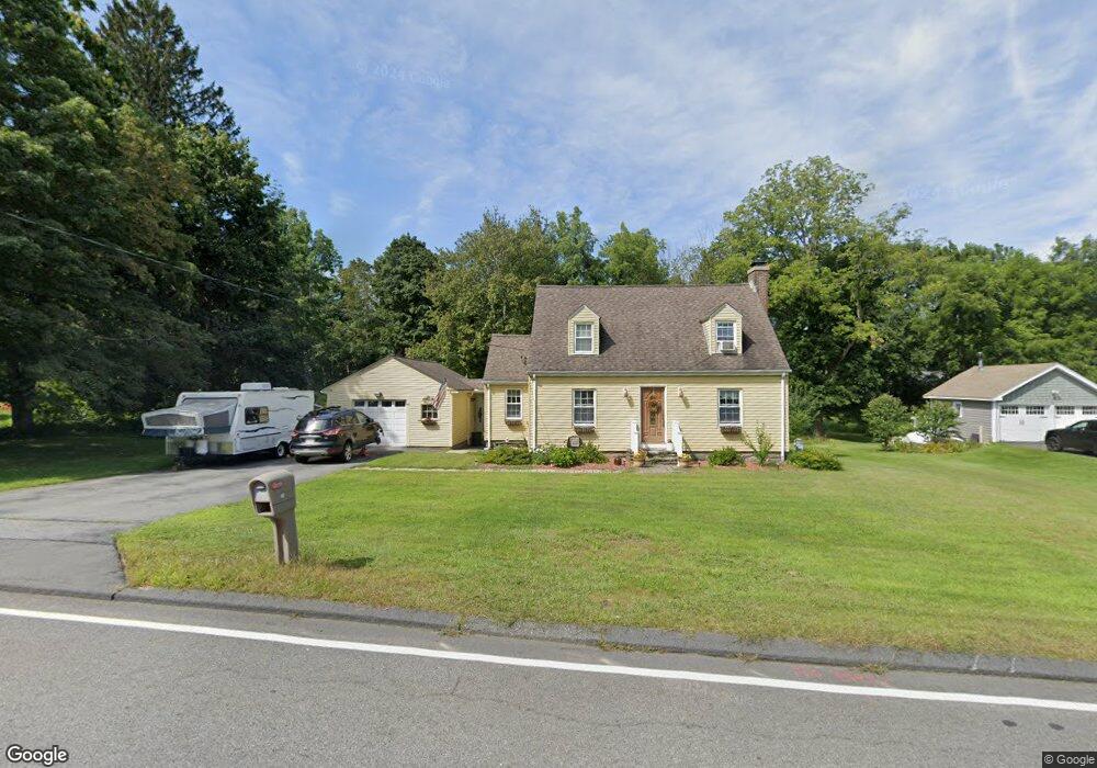
48 Maple St West Boylston, MA 01583
Estimated Value: $470,000 - $533,000
3
Beds
2
Baths
1,561
Sq Ft
$316/Sq Ft
Est. Value
About This Home
This home is located at 48 Maple St, West Boylston, MA 01583 and is currently estimated at $493,040, approximately $315 per square foot. 48 Maple St is a home located in Worcester County with nearby schools including Major Edwards Elementary School, West Boylston Junior/Senior High School, and Abby Kelley Foster Charter Public School.
Ownership History
Date
Name
Owned For
Owner Type
Purchase Details
Closed on
Apr 11, 2007
Sold by
Shaw Jeanne M and Shaw Robert S
Bought by
Mccarthy Dennis P and Mccarthy Gail E
Current Estimated Value
Create a Home Valuation Report for This Property
The Home Valuation Report is an in-depth analysis detailing your home's value as well as a comparison with similar homes in the area
Home Values in the Area
Average Home Value in this Area
Purchase History
| Date | Buyer | Sale Price | Title Company |
|---|---|---|---|
| Mccarthy Dennis P | $297,500 | -- |
Source: Public Records
Tax History
| Year | Tax Paid | Tax Assessment Tax Assessment Total Assessment is a certain percentage of the fair market value that is determined by local assessors to be the total taxable value of land and additions on the property. | Land | Improvement |
|---|---|---|---|---|
| 2025 | $57 | $409,800 | $130,700 | $279,100 |
| 2024 | $5,463 | $369,600 | $132,900 | $236,700 |
| 2023 | $6,073 | $389,800 | $130,700 | $259,100 |
| 2022 | $5,651 | $319,600 | $130,700 | $188,900 |
| 2021 | $5,328 | $288,600 | $108,000 | $180,600 |
| 2020 | $4,831 | $277,600 | $108,000 | $169,600 |
| 2019 | $4,971 | $263,700 | $108,000 | $155,700 |
| 2018 | $4,194 | $258,200 | $108,000 | $150,200 |
| 2017 | $4,597 | $244,500 | $108,000 | $136,500 |
| 2016 | $4,323 | $234,300 | $100,600 | $133,700 |
| 2015 | $4,132 | $225,300 | $99,800 | $125,500 |
Source: Public Records
Map
Nearby Homes
- 4 Newton St
- 1 Highland Ave
- 7 Alpine Dr
- 24 Blake Ave
- 12 Birchbrush Ln
- 48 Whispering Pine Cir Unit 48
- 740 Burncoat St Unit B
- 156 Hillside Village Dr
- 1110 W Boylston St Unit A
- 71 Hillside Village Dr
- 90 Sterling St Unit A
- 10 Beale St
- 69 Santoro Rd
- 30 Osgood Ave
- 22 Danielles Way
- 26 Danielles Way
- 31 Danielles Way
- 21 Wyoming Dr
- 136 Sterling St Unit A3
- 307 Bullard St
Your Personal Tour Guide
Ask me questions while you tour the home.