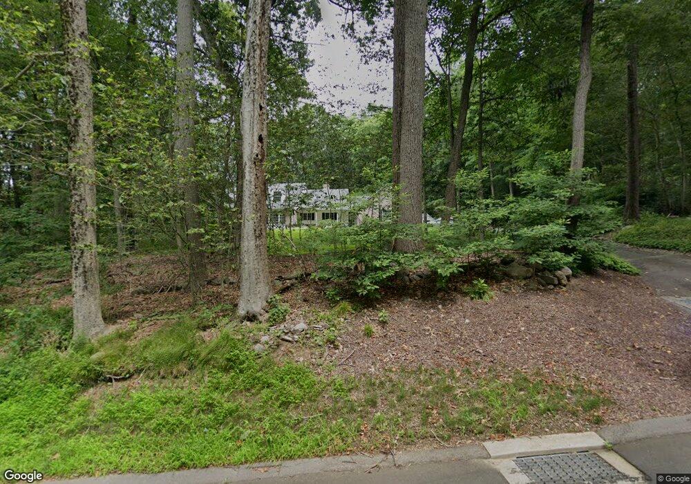
48 McTigh Rd Higganum, CT 06441
Estimated Value: $602,000 - $685,000
4
Beds
4
Baths
3,024
Sq Ft
$212/Sq Ft
Est. Value
About This Home
This home is located at 48 McTigh Rd, Higganum, CT 06441 and is currently estimated at $641,469, approximately $212 per square foot. 48 McTigh Rd is a home located in Middlesex County with nearby schools including Haddam-Killingworth High School.
Ownership History
Date
Name
Owned For
Owner Type
Purchase Details
Closed on
Oct 31, 2003
Sold by
Verdoorn Todd A and Verdoorn Patricia A
Bought by
Carlson Glenn K and Massoni Debra M
Current Estimated Value
Home Financials for this Owner
Home Financials are based on the most recent Mortgage that was taken out on this home.
Original Mortgage
$260,000
Interest Rate
6.05%
Purchase Details
Closed on
Jun 17, 1997
Sold by
Smith Peter F and Smith Carole H
Bought by
Verdoorn Todd A and Verdoorn Patricia A
Create a Home Valuation Report for This Property
The Home Valuation Report is an in-depth analysis detailing your home's value as well as a comparison with similar homes in the area
Home Values in the Area
Average Home Value in this Area
Purchase History
| Date | Buyer | Sale Price | Title Company |
|---|---|---|---|
| Carlson Glenn K | $360,000 | -- | |
| Verdoorn Todd A | $270,000 | -- |
Source: Public Records
Mortgage History
| Date | Status | Borrower | Loan Amount |
|---|---|---|---|
| Open | Verdoorn Todd A | $238,000 | |
| Closed | Verdoorn Todd A | $260,000 | |
| Previous Owner | Verdoorn Todd A | $268,000 | |
| Previous Owner | Verdoorn Todd A | $31,000 |
Source: Public Records
Tax History Compared to Growth
Tax History
| Year | Tax Paid | Tax Assessment Tax Assessment Total Assessment is a certain percentage of the fair market value that is determined by local assessors to be the total taxable value of land and additions on the property. | Land | Improvement |
|---|---|---|---|---|
| 2025 | $9,067 | $263,970 | $59,530 | $204,440 |
| 2024 | $9,067 | $263,970 | $59,530 | $204,440 |
| 2023 | $8,941 | $263,970 | $59,530 | $204,440 |
| 2022 | $8,534 | $263,970 | $59,530 | $204,440 |
| 2021 | $8,489 | $263,970 | $59,530 | $204,440 |
| 2020 | $8,208 | $259,000 | $68,610 | $190,390 |
| 2019 | $8,208 | $259,000 | $68,610 | $190,390 |
| 2018 | $8,208 | $259,000 | $68,610 | $190,390 |
| 2017 | $8,208 | $259,000 | $68,610 | $190,390 |
| 2016 | $8,081 | $259,000 | $68,610 | $190,390 |
| 2015 | $9,426 | $302,120 | $68,610 | $233,510 |
| 2014 | $9,332 | $302,120 | $68,610 | $233,510 |
Source: Public Records
Map
Nearby Homes
- 16 Hidden Lake Rd
- 279 Pokorny Rd
- 63 Burr Rd
- 28 Fieldstone Ln
- 882 Killingworth Rd
- 12 Jackson Rd
- 52 Sima Rd
- 63 Laurel Grove Dr
- 7 Little Fawn Trail
- 0 S Dish Mill Rd Unit 24082788
- 13 Cranberry Meadow Ln
- 12 Rachel Ct
- 209 Wiese Albert Rd
- 521 Foot Hills Rd
- 72 Dickinson Rd
- 511 Route 81
- 32 Maple Ave W
- 275 Route 148
- 428 Plains Rd
- 86 Christian Hill Rd