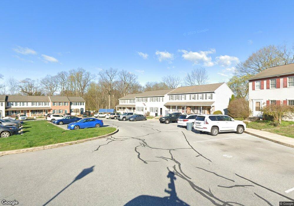
48 Michael Ct Ephrata, PA 17522
Estimated Value: $230,000 - $257,000
3
Beds
2
Baths
1,160
Sq Ft
$209/Sq Ft
Est. Value
About This Home
This home is located at 48 Michael Ct, Ephrata, PA 17522 and is currently estimated at $242,510, approximately $209 per square foot. 48 Michael Ct is a home located in Lancaster County with nearby schools including Fulton El School, Ephrata Intermediate School, and Ephrata Senior High School.
Ownership History
Date
Name
Owned For
Owner Type
Purchase Details
Closed on
Jun 28, 2012
Sold by
Kohl Kevin E
Bought by
Mcginty Bernard J and Mcginty April R
Current Estimated Value
Purchase Details
Closed on
Jan 25, 2001
Sold by
Donecker H William
Bought by
Kohl Kevin E and Mellinger Traci A
Home Financials for this Owner
Home Financials are based on the most recent Mortgage that was taken out on this home.
Original Mortgage
$52,600
Interest Rate
7.37%
Purchase Details
Closed on
Nov 25, 1998
Sold by
Mellinger Michael R
Bought by
Kohl Kevin E
Home Financials for this Owner
Home Financials are based on the most recent Mortgage that was taken out on this home.
Original Mortgage
$71,700
Interest Rate
6.83%
Create a Home Valuation Report for This Property
The Home Valuation Report is an in-depth analysis detailing your home's value as well as a comparison with similar homes in the area
Home Values in the Area
Average Home Value in this Area
Purchase History
| Date | Buyer | Sale Price | Title Company |
|---|---|---|---|
| Mcginty Bernard J | $112,000 | None Available | |
| Kohl Kevin E | $65,863 | -- | |
| Kohl Kevin E | $75,500 | -- |
Source: Public Records
Mortgage History
| Date | Status | Borrower | Loan Amount |
|---|---|---|---|
| Previous Owner | Kohl Kevin E | $52,600 | |
| Previous Owner | Kohl Kevin E | $71,700 |
Source: Public Records
Tax History Compared to Growth
Tax History
| Year | Tax Paid | Tax Assessment Tax Assessment Total Assessment is a certain percentage of the fair market value that is determined by local assessors to be the total taxable value of land and additions on the property. | Land | Improvement |
|---|---|---|---|---|
| 2025 | $3,029 | $126,300 | $42,000 | $84,300 |
| 2024 | $3,029 | $126,300 | $42,000 | $84,300 |
| 2023 | $2,954 | $126,300 | $42,000 | $84,300 |
| 2022 | $2,828 | $126,300 | $42,000 | $84,300 |
| 2021 | $2,769 | $126,300 | $42,000 | $84,300 |
| 2020 | $2,769 | $126,300 | $42,000 | $84,300 |
| 2019 | $2,731 | $126,300 | $42,000 | $84,300 |
| 2018 | $3,238 | $126,300 | $42,000 | $84,300 |
| 2017 | $2,538 | $95,900 | $27,100 | $68,800 |
| 2016 | $2,518 | $95,900 | $27,100 | $68,800 |
| 2015 | $557 | $95,900 | $27,100 | $68,800 |
| 2014 | $1,880 | $95,900 | $27,100 | $68,800 |
Source: Public Records
Map
Nearby Homes
- 146 Gregg Cir
- 538 E Main St
- 331 Spring Garden St
- 124 Washington Ave
- 323 Lincoln Ave
- 11 E Sunset Ave
- 335 Lincoln Ave
- 308 Washington Ave
- 215 Mason Dr
- 111 Ridge Ave
- 474 N Maple St
- 96 Spruce St
- 110 E Pine St
- 259 Heatherwood Dr
- 18 E Pine St
- 212 Irene Ave
- 189 Ridge Ave
- 704 Lincoln Ave
- 708 Primrose Ln
- 623 N State St