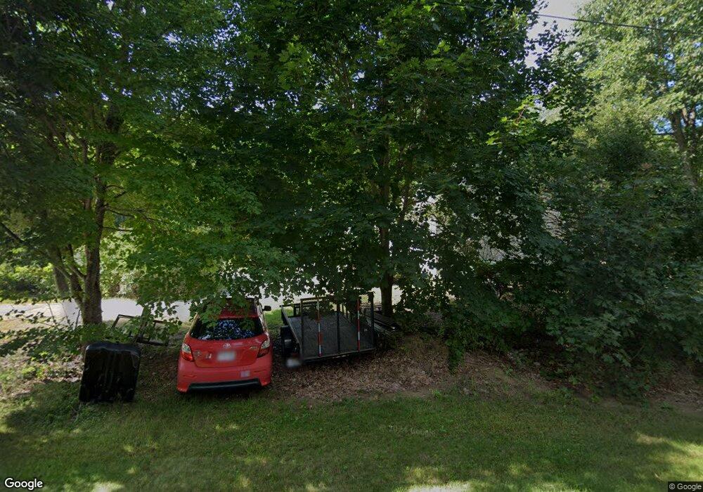
48 Mill Rd Buxton, ME 04093
Estimated Value: $507,000 - $561,000
3
Beds
2
Baths
1,512
Sq Ft
$356/Sq Ft
Est. Value
About This Home
This home is located at 48 Mill Rd, Buxton, ME 04093 and is currently estimated at $538,637, approximately $356 per square foot. 48 Mill Rd is a home with nearby schools including Bonny Eagle High School.
Ownership History
Date
Name
Owned For
Owner Type
Purchase Details
Closed on
Dec 23, 2008
Sold by
Lenentine Leslie A
Bought by
Lenentine Michael S and Lenentine Leslie A
Current Estimated Value
Home Financials for this Owner
Home Financials are based on the most recent Mortgage that was taken out on this home.
Original Mortgage
$98,500
Interest Rate
6.27%
Mortgage Type
Commercial
Create a Home Valuation Report for This Property
The Home Valuation Report is an in-depth analysis detailing your home's value as well as a comparison with similar homes in the area
Home Values in the Area
Average Home Value in this Area
Purchase History
| Date | Buyer | Sale Price | Title Company |
|---|---|---|---|
| Lenentine Michael S | -- | -- |
Source: Public Records
Mortgage History
| Date | Status | Borrower | Loan Amount |
|---|---|---|---|
| Open | Lenentine Michael S | $145,000 | |
| Closed | Lenentine Michael S | $98,500 |
Source: Public Records
Tax History Compared to Growth
Tax History
| Year | Tax Paid | Tax Assessment Tax Assessment Total Assessment is a certain percentage of the fair market value that is determined by local assessors to be the total taxable value of land and additions on the property. | Land | Improvement |
|---|---|---|---|---|
| 2024 | $5,529 | $503,100 | $128,200 | $374,900 |
| 2023 | $5,247 | $503,100 | $128,200 | $374,900 |
| 2022 | $4,423 | $431,900 | $128,200 | $303,700 |
| 2021 | $3,598 | $273,100 | $82,700 | $190,400 |
| 2020 | $3,617 | $273,100 | $82,700 | $190,400 |
| 2019 | $3,616 | $244,000 | $82,700 | $161,300 |
| 2018 | $3,450 | $244,000 | $82,700 | $161,300 |
| 2017 | $3,318 | $244,000 | $82,700 | $161,300 |
| 2016 | $3,184 | $244,000 | $82,700 | $161,300 |
| 2015 | $3,099 | $239,300 | $82,700 | $156,600 |
| 2014 | $3,039 | $239,300 | $82,700 | $156,600 |
| 2013 | $2,991 | $239,300 | $82,700 | $156,600 |
Source: Public Records
Map
Nearby Homes
- 62 Emery Cir
- 45 Quail Trail
- 30 Joan Dixon Way
- 657 Parker Farm Rd
- Lot 2 Commerce Way
- 75 Allen Ave
- 84 Tall Pine Dr
- 20 River Rd
- 4 Pelletier Dr
- 44 Gilman Rd
- 2 Bonny Eagle Rd
- 580 Bonny Eagle Rd
- 135 Bonny Eagle Rd
- 12 White Pine Dr
- 205 Webster Rd
- 22 Finn Parker Rd
- 14 Patrick Dr
- 7 Pelletier Dr
- 5 Pelletier Dr
- Lot 10 Pelletier Dr