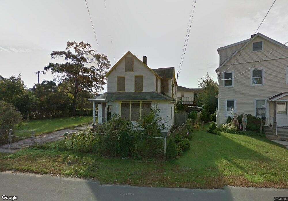
48 Muncy Ave West Babylon, NY 11704
Estimated Value: $636,000 - $681,000
4
Beds
3
Baths
1,358
Sq Ft
$487/Sq Ft
Est. Value
About This Home
This home is located at 48 Muncy Ave, West Babylon, NY 11704 and is currently estimated at $662,002, approximately $487 per square foot. 48 Muncy Ave is a home located in Suffolk County with nearby schools including West Babylon Senior High School and South Bay Junior Academy.
Ownership History
Date
Name
Owned For
Owner Type
Purchase Details
Closed on
Jul 19, 2017
Sold by
Brms Us Inc
Bought by
Giangrasso John D and Cammarata Frances M
Current Estimated Value
Home Financials for this Owner
Home Financials are based on the most recent Mortgage that was taken out on this home.
Original Mortgage
$343,600
Outstanding Balance
$285,552
Interest Rate
3.9%
Mortgage Type
FHA
Estimated Equity
$376,450
Purchase Details
Closed on
Mar 16, 2016
Sold by
County Of Suffolk
Bought by
Brms Us Inc
Create a Home Valuation Report for This Property
The Home Valuation Report is an in-depth analysis detailing your home's value as well as a comparison with similar homes in the area
Home Values in the Area
Average Home Value in this Area
Purchase History
| Date | Buyer | Sale Price | Title Company |
|---|---|---|---|
| Giangrasso John D | $350,000 | None Available | |
| Brms Us Inc | $130,000 | None Available |
Source: Public Records
Mortgage History
| Date | Status | Borrower | Loan Amount |
|---|---|---|---|
| Open | Giangrasso John D | $343,600 |
Source: Public Records
Tax History Compared to Growth
Tax History
| Year | Tax Paid | Tax Assessment Tax Assessment Total Assessment is a certain percentage of the fair market value that is determined by local assessors to be the total taxable value of land and additions on the property. | Land | Improvement |
|---|---|---|---|---|
| 2024 | $12,190 | $3,290 | $320 | $2,970 |
| 2023 | $12,190 | $3,290 | $320 | $2,970 |
| 2022 | $4,700 | $3,290 | $320 | $2,970 |
| 2021 | $4,700 | $3,290 | $320 | $2,970 |
| 2020 | $10,894 | $3,290 | $320 | $2,970 |
| 2019 | $10,894 | $0 | $0 | $0 |
| 2018 | -- | $1,840 | $320 | $1,520 |
| 2017 | $6,030 | $1,840 | $320 | $1,520 |
| 2016 | $6,051 | $1,840 | $320 | $1,520 |
| 2015 | -- | $1,840 | $320 | $1,520 |
| 2014 | -- | $1,840 | $320 | $1,520 |
Source: Public Records
Map
Nearby Homes
- 27 E Neck Ct
- 30 Arnold Ave
- 5 Petersen Ct Unit 5
- 72 Nehring Ave
- 162 Millard Ave Unit 162
- 7 Bailey Ave
- 29 Bailey Ave
- 227 N Railroad Ave
- 121 Plymouth St
- 252 Locust Ave
- 31 Tappan Ave
- 246 Locust Ave
- 66 Stowe Ave
- 79 Woodrow Pkwy
- 24 Lowerre St
- 111 Little East Neck Rd
- 14 Crocus Ct
- 600 Little East Neck Rd
- 22 Bradish Ln
- 104 Frederick Ave