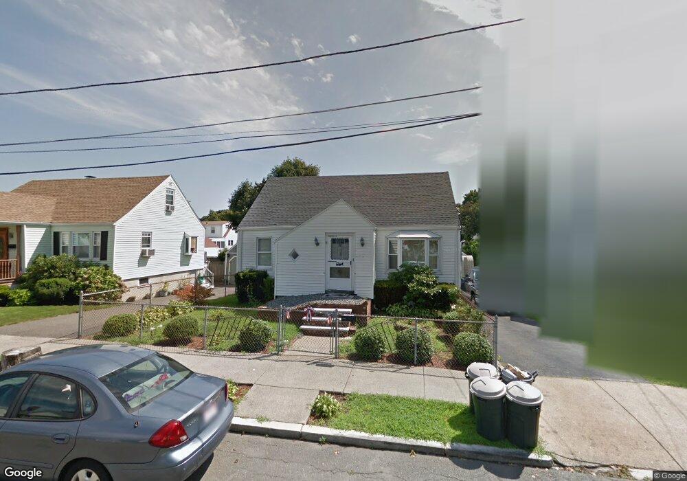
48 Newton Ave Lynn, MA 01905
Lower Boston Street NeighborhoodEstimated Value: $584,000 - $622,000
3
Beds
2
Baths
1,349
Sq Ft
$449/Sq Ft
Est. Value
About This Home
This home is located at 48 Newton Ave, Lynn, MA 01905 and is currently estimated at $605,921, approximately $449 per square foot. 48 Newton Ave is a home located in Essex County with nearby schools including Lincoln-Thomson Elementary School, William R. Fallon School, and Breed Middle School.
Ownership History
Date
Name
Owned For
Owner Type
Purchase Details
Closed on
Sep 25, 2006
Sold by
Colon John and Colon Judith
Bought by
Reynolds Maurice H
Current Estimated Value
Home Financials for this Owner
Home Financials are based on the most recent Mortgage that was taken out on this home.
Original Mortgage
$280,250
Outstanding Balance
$168,429
Interest Rate
6.59%
Mortgage Type
Purchase Money Mortgage
Estimated Equity
$437,492
Purchase Details
Closed on
Mar 21, 2002
Sold by
Walczak Lorraine M and Odonnell Joan F
Bought by
Colon John and Colon Judith
Home Financials for this Owner
Home Financials are based on the most recent Mortgage that was taken out on this home.
Original Mortgage
$200,700
Interest Rate
6.91%
Mortgage Type
Purchase Money Mortgage
Create a Home Valuation Report for This Property
The Home Valuation Report is an in-depth analysis detailing your home's value as well as a comparison with similar homes in the area
Home Values in the Area
Average Home Value in this Area
Purchase History
| Date | Buyer | Sale Price | Title Company |
|---|---|---|---|
| Reynolds Maurice H | $295,000 | -- | |
| Reynolds Maurice H | $295,000 | -- | |
| Colon John | $223,000 | -- | |
| Colon John | $223,000 | -- |
Source: Public Records
Mortgage History
| Date | Status | Borrower | Loan Amount |
|---|---|---|---|
| Open | Colon John | $15,875 | |
| Open | Colon John | $280,250 | |
| Closed | Colon John | $280,250 | |
| Previous Owner | Colon John | $200,700 |
Source: Public Records
Tax History
| Year | Tax Paid | Tax Assessment Tax Assessment Total Assessment is a certain percentage of the fair market value that is determined by local assessors to be the total taxable value of land and additions on the property. | Land | Improvement |
|---|---|---|---|---|
| 2025 | $5,963 | $575,600 | $226,600 | $349,000 |
| 2024 | $5,489 | $521,300 | $199,100 | $322,200 |
| 2023 | $5,455 | $489,200 | $205,600 | $283,600 |
| 2022 | $5,167 | $415,700 | $152,300 | $263,400 |
| 2021 | $4,787 | $367,400 | $140,000 | $227,400 |
| 2020 | $4,682 | $349,400 | $134,800 | $214,600 |
| 2019 | $4,736 | $331,200 | $126,900 | $204,300 |
| 2018 | $4,743 | $313,100 | $140,000 | $173,100 |
| 2017 | $4,337 | $278,000 | $116,400 | $161,600 |
| 2016 | $4,228 | $261,300 | $108,900 | $152,400 |
| 2015 | $4,075 | $243,300 | $108,100 | $135,200 |
Source: Public Records
Map
Nearby Homes
- 70 Wyman St
- 46 Wilfred St
- 28 Wyman St
- 268 Walnut St
- 590 Boston St Unit 303
- 50-50A Kirtland St
- 73 Waterhill St
- 78-80 Spencer St
- 20 Murray St
- 32 Birch Brook Landing Unit 23
- 32 Birch Brook Landing Unit 25
- 32 Birch Brook Landing Unit 22
- 32 Birch Brook Rd Unit 13
- 32 Birch Brook Rd Unit 27
- 32 Birch Brook Rd Unit 16
- 32 Birch Brook Rd Unit 1
- 32 Birch Brook Rd Unit 14
- 32 Birch Brook Rd Unit 28
- 79 Laurel St
- 16 Salem St
Your Personal Tour Guide
Ask me questions while you tour the home.