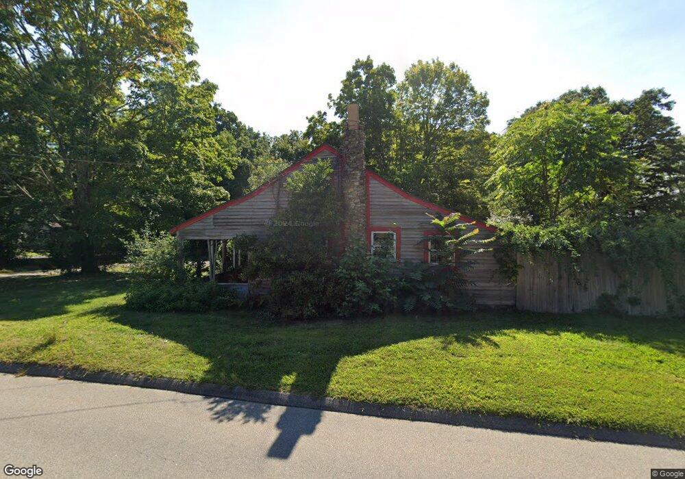
48 Nod Rd Clinton, CT 06413
Estimated Value: $315,804 - $445,000
1
Bed
1
Bath
859
Sq Ft
$444/Sq Ft
Est. Value
About This Home
This home is located at 48 Nod Rd, Clinton, CT 06413 and is currently estimated at $381,201, approximately $443 per square foot. 48 Nod Rd is a home located in Middlesex County with nearby schools including Lewin G. Joel Jr. School and The Morgan School.
Ownership History
Date
Name
Owned For
Owner Type
Purchase Details
Closed on
Jul 2, 2015
Sold by
Luke N Jacks Waster Sv
Bought by
Hometown Waste Llc
Current Estimated Value
Home Financials for this Owner
Home Financials are based on the most recent Mortgage that was taken out on this home.
Original Mortgage
$2,239,583
Outstanding Balance
$1,744,461
Interest Rate
3.83%
Estimated Equity
-$1,363,260
Purchase Details
Closed on
Oct 21, 2009
Sold by
Lewis Carol
Bought by
Luke N Jacks Waste Llc
Home Financials for this Owner
Home Financials are based on the most recent Mortgage that was taken out on this home.
Original Mortgage
$225,600
Interest Rate
5.09%
Purchase Details
Closed on
Jun 6, 2003
Sold by
Tubbs Eleanor A
Bought by
Cavallaro Carol G
Create a Home Valuation Report for This Property
The Home Valuation Report is an in-depth analysis detailing your home's value as well as a comparison with similar homes in the area
Home Values in the Area
Average Home Value in this Area
Purchase History
| Date | Buyer | Sale Price | Title Company |
|---|---|---|---|
| Hometown Waste Llc | -- | -- | |
| Hometown Waste Llc | -- | -- | |
| Luke N Jacks Waste Llc | $295,000 | -- | |
| Luke N Jacks Waste Llc | $295,000 | -- | |
| Cavallaro Carol G | $220,000 | -- | |
| Cavallaro Carol G | $220,000 | -- |
Source: Public Records
Mortgage History
| Date | Status | Borrower | Loan Amount |
|---|---|---|---|
| Open | Hometown Waste Llc | $2,239,583 | |
| Previous Owner | Cavallaro Carol G | $500,000 | |
| Previous Owner | Cavallaro Carol G | $225,600 |
Source: Public Records
Tax History
| Year | Tax Paid | Tax Assessment Tax Assessment Total Assessment is a certain percentage of the fair market value that is determined by local assessors to be the total taxable value of land and additions on the property. | Land | Improvement |
|---|---|---|---|---|
| 2025 | $3,351 | $107,600 | $47,000 | $60,600 |
| 2024 | $3,256 | $107,600 | $47,000 | $60,600 |
| 2023 | $3,210 | $107,600 | $47,000 | $60,600 |
| 2022 | $3,210 | $107,600 | $47,000 | $60,600 |
| 2021 | $3,064 | $102,700 | $49,400 | $53,300 |
| 2020 | $3,209 | $102,700 | $49,400 | $53,300 |
| 2019 | $3,209 | $102,700 | $49,400 | $53,300 |
| 2018 | $3,136 | $102,700 | $49,400 | $53,300 |
| 2017 | $3,072 | $102,700 | $49,400 | $53,300 |
| 2016 | $2,787 | $102,700 | $49,400 | $53,300 |
| 2015 | $2,918 | $109,000 | $55,000 | $54,000 |
| 2014 | $2,863 | $109,000 | $55,000 | $54,000 |
Source: Public Records
Map
Nearby Homes
- 133 W Main St Unit MV1
- 133 W Main St Unit TRLR A9
- 10 Runnymede Ln
- 4 Currycross Rd Unit 4
- 6 Sandgate Cir
- 64 W Main St
- 3 Sandgate Cir
- 0 Cow Hill Rd
- 11 Longview Terrace
- 16 Silverbrook Ln
- 63GG Dudley Ln
- 0 River Rd
- 15 Baxter Rd
- 24 Indian Dr
- 13 Waterside Ln
- 110 E Main St
- 73 Airline Rd
- 106 Glenwood Rd
- 131 Cow Hill Rd
- 0 Fairy Dell Rd
Your Personal Tour Guide
Ask me questions while you tour the home.