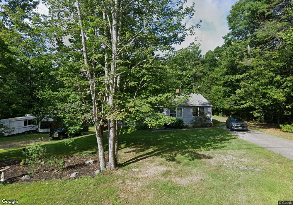
48 Norton Rd Limerick, ME 04048
Estimated Value: $379,000 - $487,000
Studio
--
Bath
1,536
Sq Ft
$278/Sq Ft
Est. Value
About This Home
This home is located at 48 Norton Rd, Limerick, ME 04048 and is currently estimated at $427,478, approximately $278 per square foot. 48 Norton Rd is a home located in York County with nearby schools including Massabesic High School.
Ownership History
Date
Name
Owned For
Owner Type
Purchase Details
Closed on
Jun 22, 2007
Sold by
Antrim Melissa L and Antrim Scott
Bought by
Wedgewood Brenda L and Wedgewood Laurence C
Current Estimated Value
Home Financials for this Owner
Home Financials are based on the most recent Mortgage that was taken out on this home.
Original Mortgage
$160,000
Outstanding Balance
$96,687
Interest Rate
6.14%
Mortgage Type
Purchase Money Mortgage
Estimated Equity
$330,791
Create a Home Valuation Report for This Property
The Home Valuation Report is an in-depth analysis detailing your home's value as well as a comparison with similar homes in the area
Home Values in the Area
Average Home Value in this Area
Purchase History
| Date | Buyer | Sale Price | Title Company |
|---|---|---|---|
| Wedgewood Brenda L | -- | -- |
Source: Public Records
Mortgage History
| Date | Status | Borrower | Loan Amount |
|---|---|---|---|
| Open | Wedgewood Brenda L | $160,000 |
Source: Public Records
Tax History
| Year | Tax Paid | Tax Assessment Tax Assessment Total Assessment is a certain percentage of the fair market value that is determined by local assessors to be the total taxable value of land and additions on the property. | Land | Improvement |
|---|---|---|---|---|
| 2025 | $3,433 | $361,377 | $92,408 | $268,969 |
| 2024 | $3,433 | $361,377 | $92,408 | $268,969 |
| 2023 | $3,760 | $247,341 | $47,600 | $199,741 |
| 2022 | $3,512 | $247,341 | $47,600 | $199,741 |
| 2021 | $3,285 | $197,873 | $38,080 | $159,793 |
| 2020 | $3,245 | $197,873 | $38,080 | $159,793 |
| 2019 | $3,116 | $197,873 | $38,080 | $159,793 |
| 2018 | $3,196 | $197,873 | $38,080 | $159,793 |
| 2017 | $3,116 | $197,873 | $38,080 | $159,793 |
| 2016 | $2,978 | $197,873 | $38,080 | $159,793 |
| 2015 | $2,889 | $197,873 | $38,080 | $159,793 |
| 2014 | $2,800 | $197,873 | $38,080 | $159,793 |
Source: Public Records
Map
Nearby Homes
- 8 & 40 Durgin Farm Rd
- 14 Pleasant Hill Rd
- 87 Pleasant Hill Rd
- 110 Pleasant Hill Rd
- 16 Whiteley Rd
- LOT# 8 Business Park Rd
- Lot# 11 Business Park Rd
- 71 Quarry Rd
- 4 Deer Crossing Rd
- 175 Deer Crossing Rd
- 54 Raptor Ridge Rd
- 0 Quarry Rd
- 8 Emery Corner Rd
- 48 King Hill Rd
- 240 Leisure Ln
- 26 Old Country Way
- 5 Wescott St
- MP42LT232 Nob Hill Rd
- Lot 23 Stony Brook Dr
- 13 Quaker Ln
- 52 Norton Rd
- 37 Norton Rd
- 25 Norton Rd
- 63 Norton Rd
- 77 Norton Rd
- 81 Norton Rd
- 53 Norton Rd
- 406 Central Ave
- 444 Central Ave
- 0 Sokokis Ave Unit 844842
- 0 Sokokis Ave Unit 956295
- 0 Sokokis Ave Unit 979231
- 00 Sokokis Avenue (Map R16 Lot 11
- 00 Sokokis Trail
- Lot 0 Sokokis Ave
- 447 Central Ave
- 434 Central Ave
- 42 Staples Hill
- 10 Acres Sokokis Ave (Route 11)
- 421 Central Ave
Your Personal Tour Guide
Ask me questions while you tour the home.