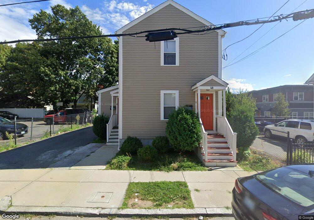
48 Norwich Ave Providence, RI 02905
Lower South Providence NeighborhoodEstimated Value: $418,000 - $540,000
4
Beds
2
Baths
1,676
Sq Ft
$287/Sq Ft
Est. Value
About This Home
This home is located at 48 Norwich Ave, Providence, RI 02905 and is currently estimated at $481,745, approximately $287 per square foot. 48 Norwich Ave is a home with nearby schools including Asa Messer Elementary School, Charles N. Fortes Elementary School, and Robert L. Bailey IV Elementary.
Ownership History
Date
Name
Owned For
Owner Type
Purchase Details
Closed on
Feb 10, 2017
Sold by
Swap Inc
Bought by
Santiago Glendaliz
Current Estimated Value
Home Financials for this Owner
Home Financials are based on the most recent Mortgage that was taken out on this home.
Original Mortgage
$145,502
Outstanding Balance
$120,585
Interest Rate
4.32%
Mortgage Type
FHA
Estimated Equity
$361,160
Purchase Details
Closed on
Jul 20, 2016
Sold by
Swap Community Land T
Bought by
Swap Inc
Purchase Details
Closed on
Dec 24, 2015
Sold by
Providence Redev Agenc
Bought by
Swap Community Land T
Create a Home Valuation Report for This Property
The Home Valuation Report is an in-depth analysis detailing your home's value as well as a comparison with similar homes in the area
Home Values in the Area
Average Home Value in this Area
Purchase History
| Date | Buyer | Sale Price | Title Company |
|---|---|---|---|
| Santiago Glendaliz | $159,000 | -- | |
| Swap Inc | -- | -- | |
| Swap Community Land T | $8,000 | -- |
Source: Public Records
Mortgage History
| Date | Status | Borrower | Loan Amount |
|---|---|---|---|
| Open | Santiago Glendaliz | $145,502 |
Source: Public Records
Tax History Compared to Growth
Tax History
| Year | Tax Paid | Tax Assessment Tax Assessment Total Assessment is a certain percentage of the fair market value that is determined by local assessors to be the total taxable value of land and additions on the property. | Land | Improvement |
|---|---|---|---|---|
| 2025 | $3,876 | $513,400 | $119,400 | $394,000 |
| 2024 | $6,648 | $362,300 | $75,600 | $286,700 |
| 2023 | $6,648 | $362,300 | $75,600 | $286,700 |
| 2022 | $6,449 | $362,300 | $75,600 | $286,700 |
| 2021 | $5,388 | $219,400 | $33,400 | $186,000 |
| 2020 | $5,388 | $219,400 | $33,400 | $186,000 |
| 2019 | $5,388 | $219,400 | $33,400 | $186,000 |
| 2018 | $5,018 | $157,000 | $30,300 | $126,700 |
| 2017 | $3,346 | $104,700 | $30,300 | $74,400 |
| 2016 | $339 | $10,600 | $10,600 | $0 |
| 2015 | $351 | $10,600 | $10,600 | $0 |
| 2014 | $358 | $10,600 | $10,600 | $0 |
| 2013 | $358 | $10,600 | $10,600 | $0 |
Source: Public Records
Map
Nearby Homes
- 40 Gladstone St
- 176 Reynolds Ave
- 171 Reynolds Ave
- 286 Oxford St
- 199 Gallup St
- 33 Adelaide Ave
- 462 Prairie Ave
- 76 Adelaide Ave
- 226 Oxford St
- 137 Stanwood St
- 3 Mount Vernon St
- 68 Lenox Ave
- 123 Chester Ave
- 67 Taylor St
- 38 Mawney St
- 104 Miner St
- 61 Whitmarsh St
- 22 Burnside St
- 186 Oxford St
- 182 Adelaide Ave Unit 5
- 804 Broad St
- 808 Broad St
- 49 Lillian Ave
- 40 Norwich Ave
- 40 Norwich Ave Unit 3
- 40 Norwich Ave Unit 1
- 792 Broad St
- 43 Lillian Ave
- 36 Norwich Ave
- 39 Lillian Ave
- 32 Norwich Ave
- 17 Gladstone St
- 33 Lillian Ave
- 31 Norwich Ave
- 23 Gladstone St
- 28 Norwich Ave
- 27 Gladstone St
- 50 Lillian Ave
- 29 Lillian Ave
- 12 Gladstone St