48 Ocean Point Dr Isle of Palms, SC 29451
Estimated Value: $1,991,000 - $2,478,000
4
Beds
4
Baths
2,578
Sq Ft
$841/Sq Ft
Est. Value
About This Home
This home is located at 48 Ocean Point Dr, Isle of Palms, SC 29451 and is currently estimated at $2,167,542, approximately $840 per square foot. 48 Ocean Point Dr is a home located in Charleston County with nearby schools including Sullivans Island Elementary School, Moultrie Middle School, and Wando High School.
Ownership History
Date
Name
Owned For
Owner Type
Purchase Details
Closed on
Mar 21, 2022
Sold by
Ewing Todd B
Bought by
Ewing Gayagoy Joint Revocable Family
Current Estimated Value
Purchase Details
Closed on
Jan 22, 2020
Sold by
Ewing Todd B and Ewing Sarah F
Bought by
Ewing Todd B and Ewing Sarah F
Purchase Details
Closed on
Jul 15, 2010
Sold by
Ewing Todd B and Ewing Sarah F
Bought by
Ewing Todd B and Ewing Sarah F
Purchase Details
Closed on
Jan 1, 2007
Sold by
Ewing Todd B and Ewing Sarah F
Bought by
Ewing Todd B and Ewing Sarah F
Purchase Details
Closed on
Oct 14, 2005
Sold by
Ewing Todd B
Bought by
Ewing Todd B and Ewing Sarah F
Purchase Details
Closed on
Aug 30, 2005
Sold by
Cubbage Kathryn K
Bought by
Cubbage Leighton M
Create a Home Valuation Report for This Property
The Home Valuation Report is an in-depth analysis detailing your home's value as well as a comparison with similar homes in the area
Home Values in the Area
Average Home Value in this Area
Purchase History
| Date | Buyer | Sale Price | Title Company |
|---|---|---|---|
| Ewing Gayagoy Joint Revocable Family | -- | Cooperative Title | |
| Ewing Todd B | -- | Federal Title & Escrow Co | |
| Ewing Todd B | -- | -- | |
| Ewing Todd B | -- | Federal Title | |
| Ewing Todd B | -- | None Available | |
| Ewing Todd B | $2,200,000 | None Available | |
| Cubbage Leighton M | -- | -- |
Source: Public Records
Tax History Compared to Growth
Tax History
| Year | Tax Paid | Tax Assessment Tax Assessment Total Assessment is a certain percentage of the fair market value that is determined by local assessors to be the total taxable value of land and additions on the property. | Land | Improvement |
|---|---|---|---|---|
| 2024 | $14,530 | $62,820 | $0 | $0 |
| 2023 | $14,530 | $62,820 | $0 | $0 |
| 2022 | $13,682 | $62,820 | $0 | $0 |
| 2021 | $13,527 | $62,820 | $0 | $0 |
| 2020 | $13,342 | $62,820 | $0 | $0 |
| 2019 | $12,235 | $54,620 | $0 | $0 |
| 2017 | $11,692 | $54,620 | $0 | $0 |
| 2016 | $11,224 | $54,620 | $0 | $0 |
| 2015 | $10,688 | $54,620 | $0 | $0 |
| 2014 | $15,417 | $0 | $0 | $0 |
| 2011 | -- | $0 | $0 | $0 |
Source: Public Records
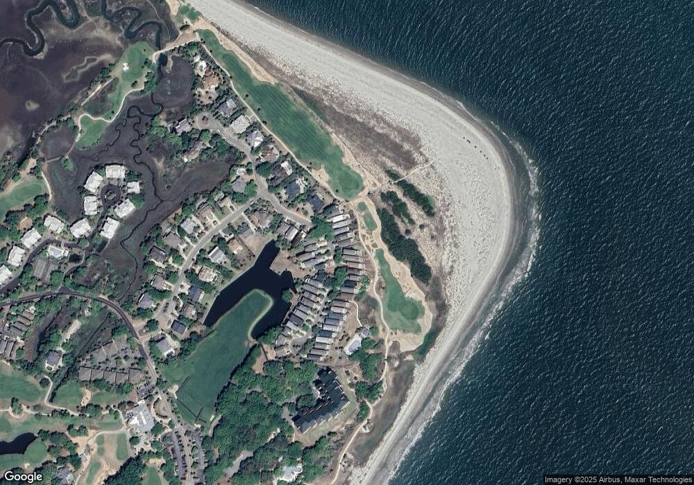
Map
Nearby Homes
- 42 Ocean Point Dr
- 27 Ocean Point Dr
- 16 Links Clubhouse Villas
- 24 Commons Ct
- 9002 Palmetto Drive #514 1 13 Share
- 9002 Palmetto Dr Unit 516
- 9002 Palmetto Dr Unit 119
- 9002 Palmetto Dr Unit 317
- 9002 Palmetto Dr Unit 112
- 9002 Palmetto Dr Unit 420
- 9002 Palmetto Dr Unit 512
- 517 Seascape (1 Share of 13 )
- 311 Seascape (Share G)
- 18 Commons Ct
- 9000 Palmetto Dr Unit C202
- 9000 Palmetto Dr Unit G203
- 509 Summerhouse
- 8000 Palmetto Dr Unit 109
- 8000 Palmetto Dr Unit 104
- 7600 Palmetto Dr Unit 223-D
- 49 Ocean Point Dr
- 47 Ocean Point Dr
- 47 Ocean Point Dr
- 50 Ocean Point Dr
- 46 Ocean Point Dr
- 51 Ocean Point Dr
- 52 Ocean Point Dr
- 44 Ocean Point Dr
- 44 Ocean Point Dr
- 53 Ocean Point Dr
- 43 Ocean Point Dr
- 14 Ocean Point Dr
- 13 Ocean Point Dr
- 16 Ocean Point Dr
- 15 Ocean Point Dr
- 16 Ocean Point Dr
- 18 Ocean Point Dr
- 17 Ocean Point Dr
- 18 Ocean Point Dr
- 41 Ocean Point Dr